


Adverse Weather Alert Issued For T&T. Severe Impacts Possible
Locally strong thunderstorms are affecting parts of Trinidad, gradually drifting northward due to the passage of a well-defined…

Adverse Weather Alert Issued For Trinidad. Severe Impacts Possible
There is a medium chance of showers and thunderstorms developing across the western half of Trinidad, leading to…
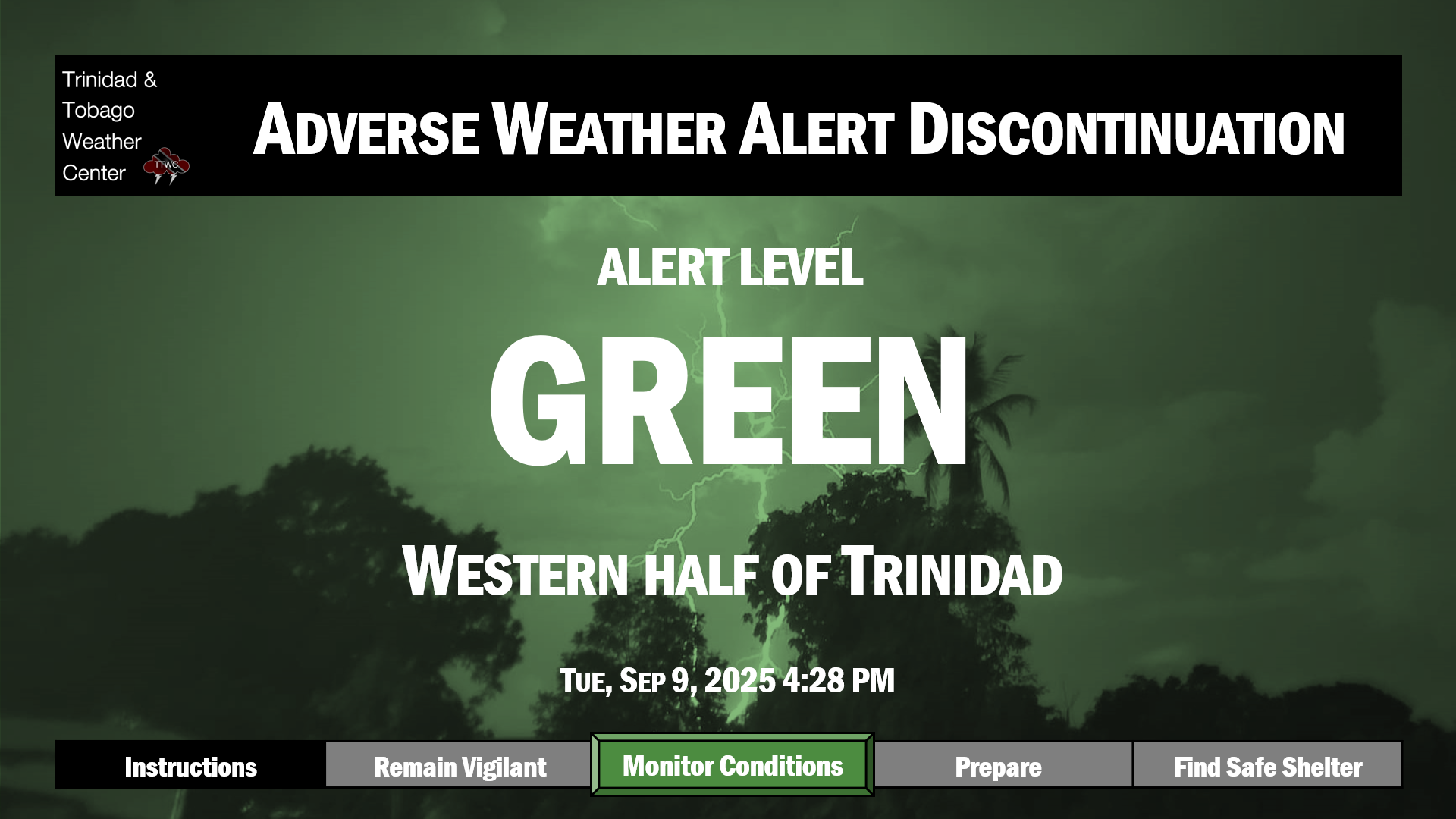
Adverse Weather Alert Discontinued As Impactful Weather Risk Decreases
Localized heavy showers and thunderstorms moved across mainly Trinidad on Tuesday, leading to isolated street and flash flooding.…

Adverse Weather Alert Issued For Western Half of Trinidad. Severe Impacts Possible
There is a medium chance of showers and thunderstorms developing across the western half of Trinidad, leading to…

TTMS Maintains Adverse Weather Alert For T&T
An active Intertropical Convergence Zone continues to produce scattered showers and thunderstorms primarily east of Trinidad and Tobago…

Active ITCZ Forecast To Affect T&T
What’s happening: A cluster of showers and developing thunderstorms has developed east of Trinidad and Tobago and is…

TTMS Issues Adverse Weather Alert For T&T
An active Intertropical Convergence Zone is forecast to produce scattered showers and thunderstorms primarily east of Trinidad and…

Slight to Moderate Seas Forecast For T&T
— What’s happening: Over the next seven days, low-level winds are forecast to be generally light, leading to…

Dust-Free Days Ahead For T&T As Saharan Dust Stays North
Over the next seven days, T&T is forecast to be largely shielded by the Intertropical Convergence Zone from…

Cluster of Thunderstorms Approaching T&T
What’s happening: A cluster of thunderstorms producing frequent lightning and heavy rainfall is hours away from affecting Trinidad…