

The Trinidad and Tobago Meteorological Service (TTMS) has discontinued the Localized Flood Alert for Trinidad due to the influx of Saharan Dust stabilizing the atmosphere, reducing rainfall chances across the country.
What you need to know
— What has happened: Heavy showers and thunderstorms produced high rainfall accumulations over the last 48 hours, elevating minor and major watercourses, but notably, none overtopped.
— What to expect: Rainfall has ceased, and mostly dry conditions are forecast across the country through the next four days, with rainfall likely returning by Saturday – ample time for soils to dry and watercourses to lower.
Latest Alerts

Localized Flood Alert Discontinued For Trinidad
Trinidad and Tobago is NOT under any tropical storm or hurricane threat, watch, or warning at this time.
The Localized Flood Alert
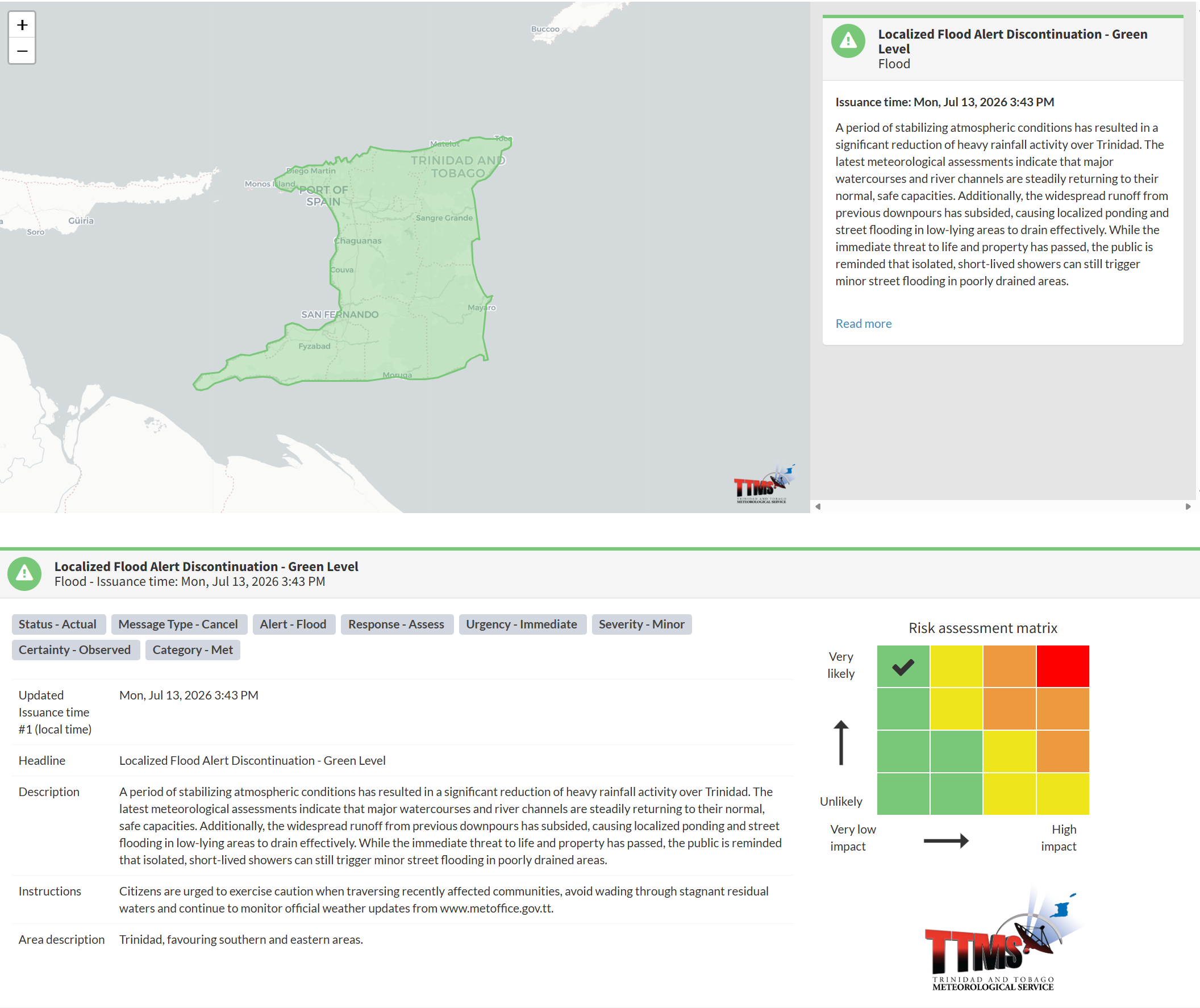
The Trinidad and Tobago Meteorological Service discontinued the Localized Flood Alert (Yellow Level) on Tuesday at 3:58 PM.
The TTMS states, “A period of stabilizing atmospheric conditions has resulted in a significant reduction of heavy rainfall activity over Trinidad. The latest meteorological assessments indicate that major watercourses and river channels are steadily returning to their normal, safe capacities.”
They continue, “Additionally, the widespread runoff from previous downpours has subsided, causing localized ponding and street flooding in low-lying areas to drain effectively. While the immediate threat to life and property has passed, the public is reminded that isolated, short-lived showers can still trigger minor street flooding in poorly drained areas.”
Heavy rainfall occurred across much of Trinidad and Tobago between July 12th and 13th. Across Tobago, which is facing drought concerns by the end of July, beneficial rainfall between 25 and 50 millimeters fell across the island, with totals nearing 100 millimeters across eastern areas.
Across Trinidad, most areas recorded between 10 and 30 millimeters of rainfall, with totals of 30 to 60 millimeters in the northern, eastern, and southern parts of the island. Impactful street and flash flooding occurred across south-central Trinidad, including parts of Barrackpore and Moruga.
All major watercourses remained below 75% capacity over the 48-hour period, well within their banks.
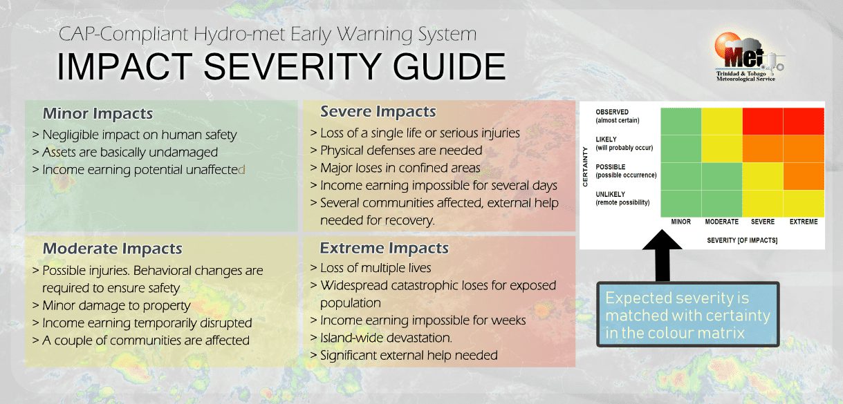
This “alert” status considers the possibility of the event ending, with the certainty at its highest, expected or observed, and additional impacts minor.
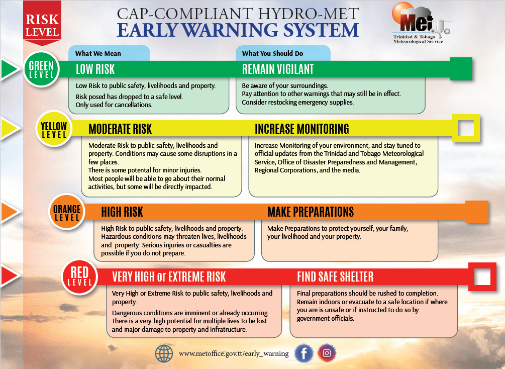
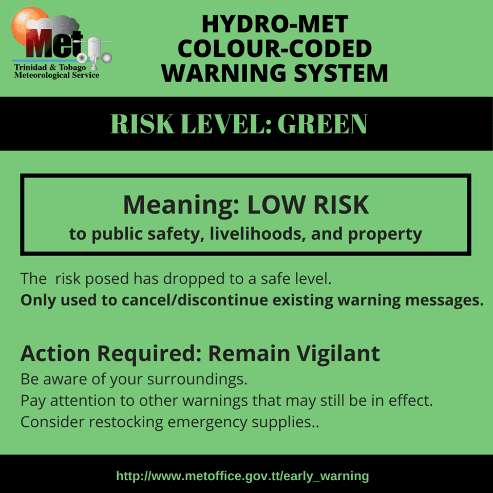
According to the TTMS, there is a low risk to public safety, livelihoods, and property at this level.
The Met Office advises the public to exercise caution when traversing recently affected communities, avoid wading through stagnant residual waters, and continue to monitor official weather updates.