What you’re looking at
Streamflow gauges, owned and operated by the Water and Sewage Authority of Trinidad and Tobago’s Water Resources Agency, continuously monitor water level using pressure sensors or radar. These gauges, stationed primarily at bridges across Trinidad and Tobago, contain a sensor that feeds data to a data recorder that takes measurements every 5 to 15 minutes and transmits them to the WRA via cellular or satellite connections.
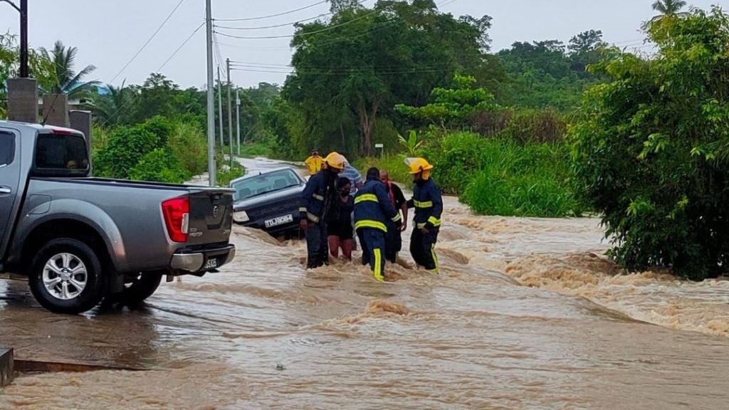
Because these gauges are located at bridges, once a station crosses 90% (considered High), low-lying areas near these watercourses are likely to begin experiencing flash or riverine flooding, depending on the duration. A good example of this is the Caroni River station at El Carmen, where at 90% (7.67 meters), the river begins to spill its banks. At 100%, it crosses the road at that site. For several stations, such as the Caroni River station at Bamboo #3 (along the southbound Uriah Butler Highway) and the Guaracara River station along Harmony Hall Road, reaching 100% is improbable given the sensor’s height.
Not all gauges transmit data as frequently as others for a variety of reasons, and some stations may exhibit anomalous data (frequent high/low fluctuations or apparent random spikes in water levels). As mentioned above, the Trinidad and Tobago Weather Center makes no warranties, express or implied, as to its accuracy, completeness, timeliness, or reliability, and does not own the underlying data. Values are subject to quality-control revision.
Understanding Your Flood Risk
| Tier | Threshold | What to expect |
|---|---|---|
| No Risk | Levels normal (<50%) | River levels well below threshold. |
| Low | 50-75% | Minor watercourses may rise; prolonged flooding not expected. |
| Moderate | 75-90% | Smaller watercourses overtop; low-lying areas near rivers likely flooded. A Riverine/Localized Flood Early Warning Message (Alert/Watch/Warning) from the Trinidad and Tobago Meteorological Service may be issued based on historical flood events. |
| High | 90-100% | Major and minor watercourses overwhelmed, flooding several communities; access may be restricted. A Riverine/Localized Flood Early Warning Message (Alert/Watch/Warning) from the Trinidad and Tobago Meteorological Service will likely be issued based on historical flood events. |
| Very High | Threshold exceedance (>100%) imminent or in progress | Major river flooding likely or ongoing; evacuations may be necessary. If a Riverine Flood Alert/Watch/Warning has been issued by the Trinidad and Tobago Meteorological Service, it may be raised to Orange/Red level based on historical flood events. |
| Extreme | October-2018-class, widespread and prolonged (a gauge sitting at or above 100% for at least 3 days) | Record-class flooding across multiple basins, comparable to or exceeding October 2018; potential loss of life. A Red-Level Riverine Flood Alert/Watch/Warning from the Trinidad and Tobago Meteorological Service should be expected based on historical flood events. |