

As Saharan Dust moves in across T&T and chances for heavy showers and thunderstorms quickly dwindle, the Trinidad and Tobago Meteorological Service has discontinued the High Wind Alert for the country. However, elevated low-level winds are still likely to produce breezy to windy conditions through Friday, with higher gusts near passing showers.
Peak wind gusts across much of the country peaked under 50 km/h, with no reports of wind damage across T&T. The strongest wind gust recorded between Tuesday, July 7th, and Thursday, July 9th, occurred before the alert went into effect at 11:00 PM Tuesday. Crown Point recorded a gust of 54 km/h with sustained winds at 31 km/h at 1:00 PM Tuesday.
Sustained winds generally remained below 45 km/h – still breezy, but not severe.
Latest Alerts

TTMS: High Wind Alert Discontinued For T&T.
Trinidad and Tobago is NOT under any tropical storm or hurricane threat, watch, or warning at this time.
The High Wind Alert Discontinuation
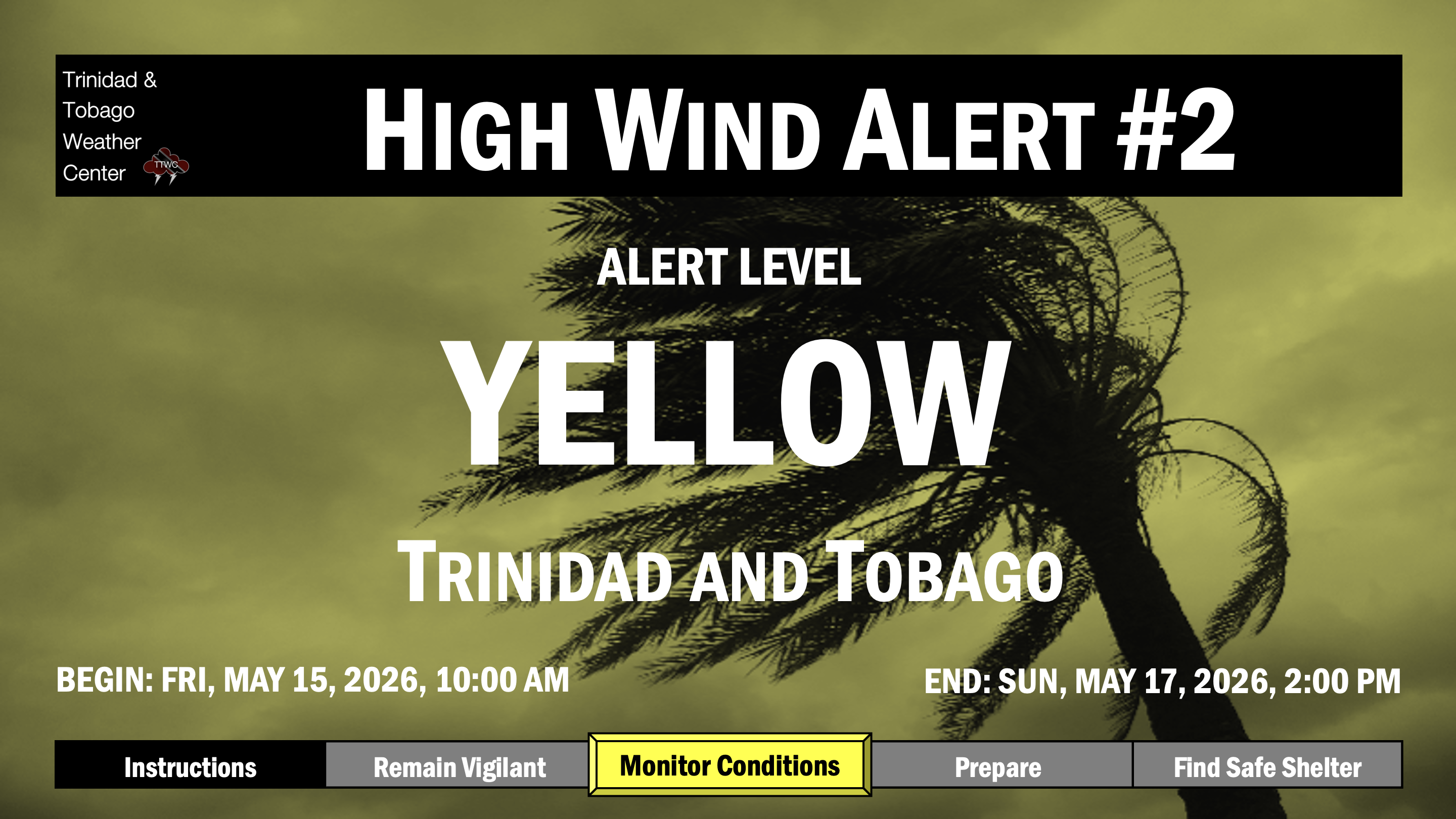
The Trinidad and Tobago Meteorological Service discontinued the High Wind Alert (Yellow Level) on Thursday, July 9th, 2026, at 12:56 PM for Trinidad and Tobago.
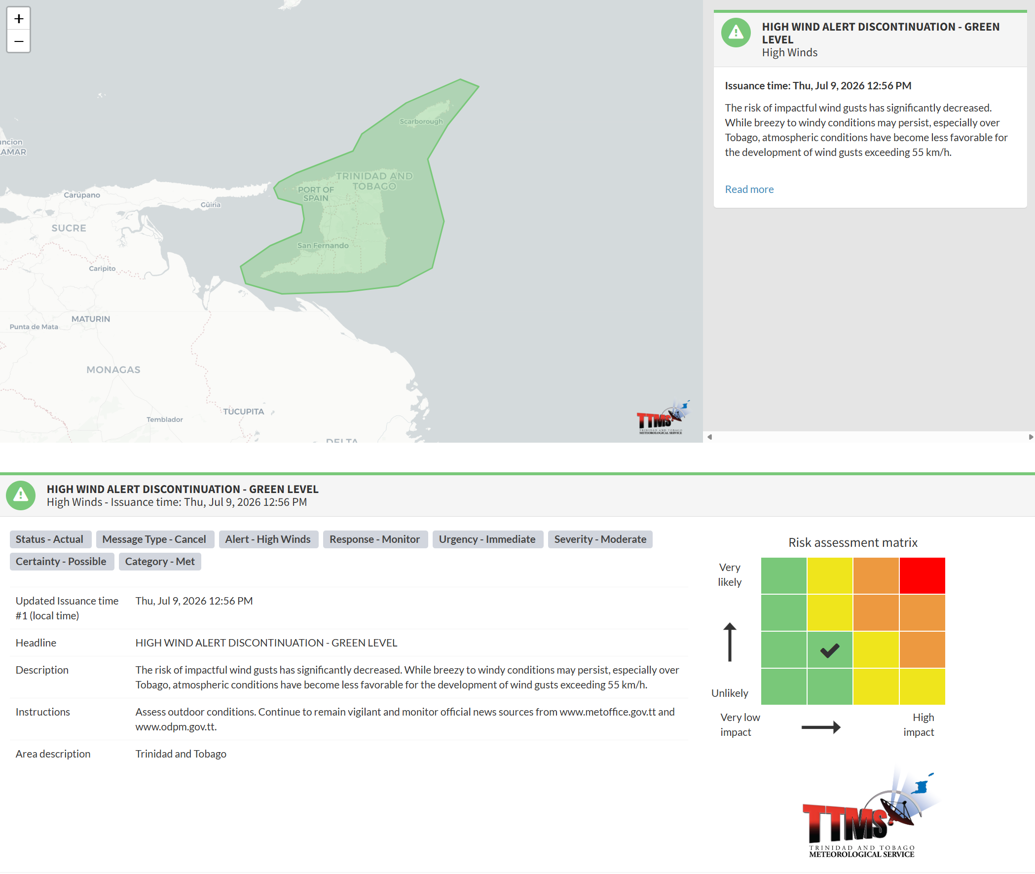
The TTMS states, “The risk of impactful wind gusts has significantly decreased. While breezy to windy conditions may persist, especially over Tobago, atmospheric conditions have become less favorable for the development of wind gusts exceeding 55 km/h.”
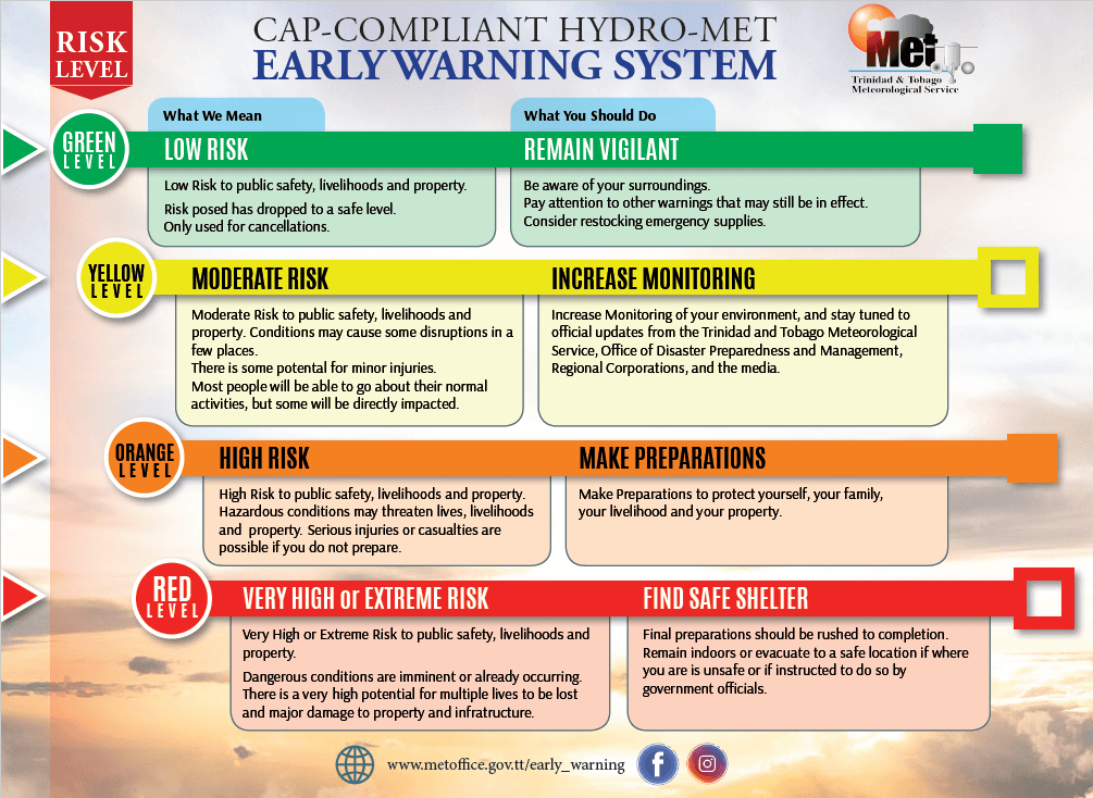
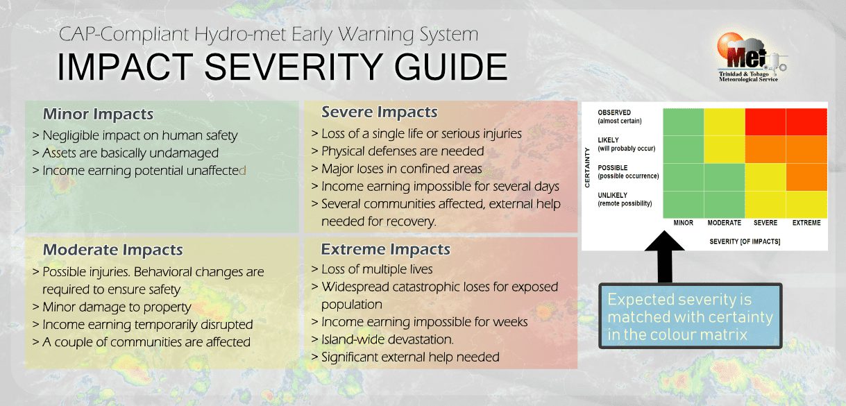
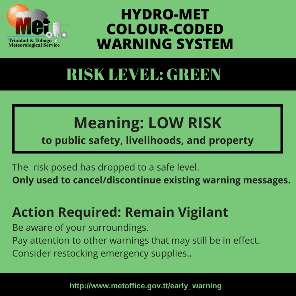
The alert’s color indicates the event’s severity and likelihood. Currently, the alert level is green. Although the alert has been discontinued, the risk matrix indicates moderate impacts are still possible.
This means that additional hazards associated with gusty winds are present, but the severity of impacts is moderate for this particular alert. You should remain aware of the hazards in your area associated with gusty winds, generally up to 50 km/h.
These include the toppling of potted plants and light objects outdoors, falling over, or becoming airborne. Larger but weaker trees may fall, causing roof damage or downing power lines and utility poles. Unsecured roofs may be damaged. These winds are forecast to agitate seas and reduce visibility in marine areas through the end of the week.
The Met Office advises the public to assess outdoor conditions and monitor official news sources and weather updates.