


The Caroni, North Oropouche, and South Oropouche Rivers peaked earlier today and are now showing signs of decline. However, one or two thunderstorms may exacerbate flooding over the next 24 hours.
What you need to know
— What has happened: Over the last four days, between 50 and 150 millimeters of rain fell across parts of Trinidad and Tobago, with isolated totals of up to 225 millimeters associated with ITCZ, a deep-layered trough system, and the passage of a tropical wave. Additional rainfall accumulations of up to 25 millimeters are forecast through the next 25 hours.
— What to expect: Riverine flooding is expected to gradually subside, mainly in areas near smaller water courses and tributaries to major rivers. Runoff will be slowed by spring tides which end on Friday, October 28th, 2022.
The Riverine Flood Alert
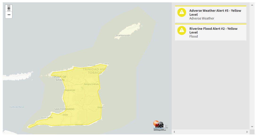
The Trinidad and Tobago Meteorological Service updated the Riverine Flood Alert (Orange Level), downgrading it to Yellow Level on Friday at 4:15 PM. The alert went into effect for Trinidad from 8:00 PM Thursday, October 27th, 2022, and remains in effect through 8:00 PM Saturday, October 29th, 2022
Trinidad and Tobago is not under any tropical storm watch or warning at this time.
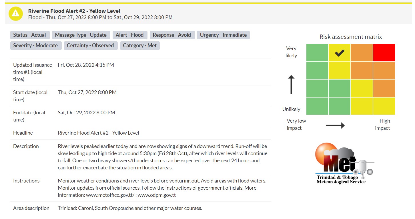
“River levels peaked earlier today and are now showing signs of a downward trend. The run-off will be slow leading up to high tide at around 5:30 pm (Fri 28th Oct), after which river levels will continue to fall. One or two heavy showers/thunderstorms can be expected over the next 24 hours and can further exacerbate the situation in flooded areas,” according to the Trinidad and Tobago Meteorological Service. This “alert” status takes into account the possibility of the event occurring. This riverine flood event is likely.

The color of the alert indicates the severity of the event and the probability of the event occurring. Currently, the alert level is Yellow. This means that the hazards are likely, and the severity of the impacts is moderate for this particular alert. You should be aware of the hazards in your area and you need to be aware of the impacts of street, flash, and riverine flooding in your area.
For a moderate Riverine Flood Alert, there is the potential for possible injuries, where behavioral changes are required to ensure safety. There may be minor damage to property, with income-earning temporarily disrupted and a couple of communities affected.
The Met Office is advising the public to monitor weather conditions, river levels, and updates from official sources and not wade or drive through flood waters.


