


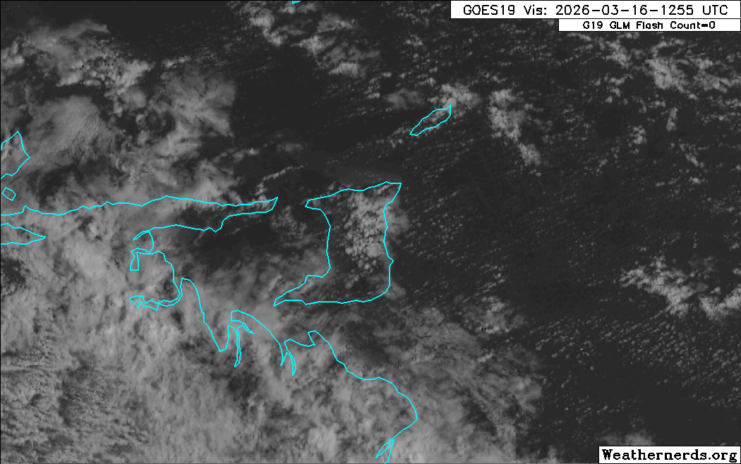
As expected, impactful wind gusts are affecting Trinidad and Tobago on Monday. At Piarco International Airport in Trinidad, sustained winds of 25-35 km/h have been recorded, with gusts of 45-55 km/h. At Crown Point, Tobago, sustained winds have neared 40 km/h.
The Trinidad and Tobago Meteorological Service has issued a High Wind Alert for the country.
What you need to know
— What: A strong low-pressure system in the North Atlantic Ocean is building across the Lesser Antilles this weekend, forecast to produce strong surface to low-level winds and moderate to rough seas around the islands on Monday through Tuesday.
— Where: Breezy to windy conditions and gusty winds are likely across the country, with higher chances for impactful gusts across Tobago, northern and eastern Trinidad.
— When: Peak winds are forecast from Monday morning through Tuesday evening. The TTMS’ alert is in effect from 9:05 AM Monday through 12:00 PM (noon) Tuesday.
— Impacts: Strong wind gusts can damage roofs, particularly unsecured roofs, cause loose outdoor objects to become airborne, cause tents to jump, and topple large but weaker trees and structures. Seas are rough in open waters. A Hazardous Seas Alert is in effect.
— What Should You Do: Secure any loose outdoor objects and livestock. Marine interests should exercise caution during this period, and small craft should restrict activity. Follow the instructions of lifeguards.
Latest Alerts

Localized Flood Alert Issued For Trinidad
Trinidad and Tobago is NOT under any tropical storm or hurricane threat, watch, or warning at this time.
The High Wind Alert
The Trinidad and Tobago Meteorological Service has issued a High Wind Alert (Yellow Level) on Monday, March 16th, 2026, at 9:08 AM. The alert retroactively went into effect at 9:05 AM Monday, March 16th, 2026, and remains in effect through 12:00 PM (noon) Tuesday, March 17th, 2026, for Trinidad and Tobago.
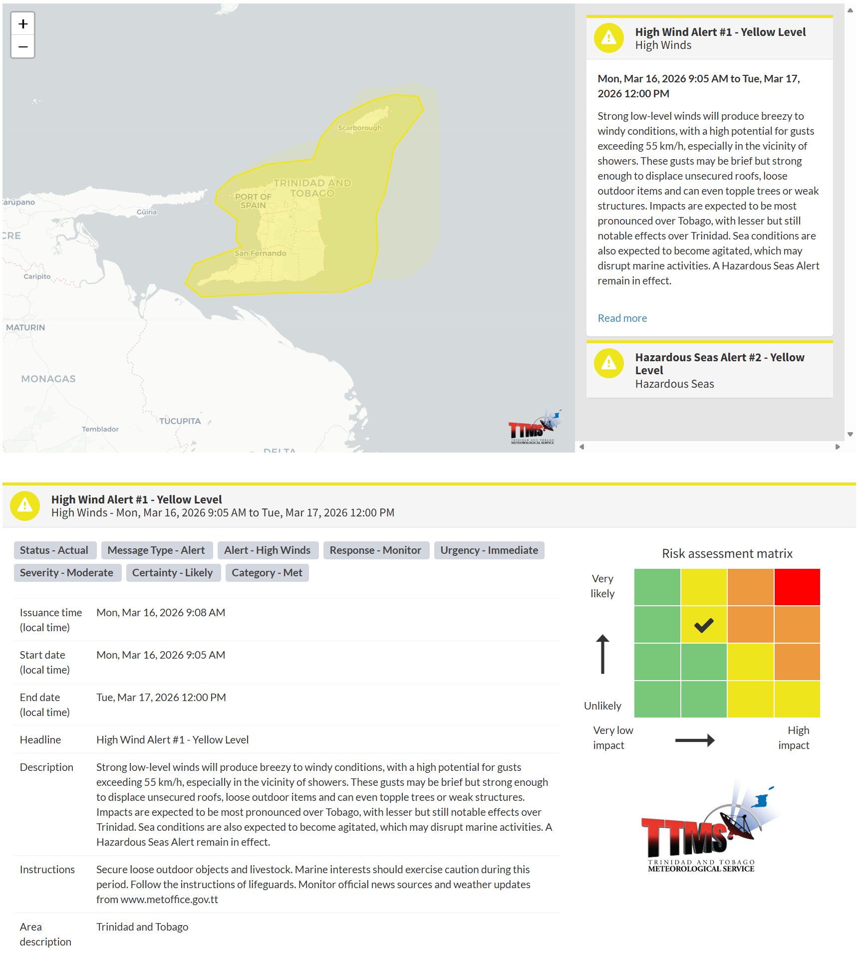
“Strong low-level winds will produce breezy to windy conditions, with a high potential for gusts exceeding 55 km/h, especially in the vicinity of showers. These gusts may be brief but strong enough to displace unsecured roofs and loose outdoor items, and even topple trees or weak structures. Impacts are expected to be most pronounced over Tobago, with lesser but still notable effects over Trinidad. Sea conditions are also expected to become agitated, which may disrupt marine activities. A Hazardous Seas Alert remains in effect, according to the Trinidad and Tobago Meteorological Service.

The alert’s color indicates the event’s severity and the likelihood of its occurrence. Currently, the alert level is yellow. This means the hazards are likely, and the impacts are moderate for this alert.
These include the toppling of potted plants and light objects outdoors, falling over, or becoming airborne. Larger but weaker trees may fall, causing roof damage or downing power lines and utility poles. Unsecured roofs may be damaged. These strong winds are forecast to agitate seas and reduce visibility in marine areas.
A moderate High Wind Alert can cause injuries, and behavioral changes are required to ensure safety. Property may be damaged, and income-earning activities may be temporarily disrupted. A couple of communities are affected.
The Met Office advises all marine interests to exercise extreme caution. Beachgoers are urged to heed the instructions of lifeguards and those in authority.


