

Trinidad and Tobago has been placed under a late-notice High Wind Alert as impactful wind gusts are likely this weekend, according to the Trinidad and Tobago Meteorological Service. Sustained winds have reached 30-35 km/h over the past 24 hours at both Crown Point, Tobago, and Piarco, Trinidad.
What you need to know
— What: Strong low-level to mid-level winds are forecast to intensify following the passage of a weak tropical wave on Friday. However, in heavy showers/thunderstorms, particularly Friday afternoon through Saturday, impactful wind gusts are likely.
— Where: Breezy to windy conditions and gusty winds are likely across the country, with higher chances for impactful gusts across Tobago, northern and eastern Trinidad.
— When: Peak winds are forecast from Friday night through Sunday afternoon. The TTMS’ alert is in effect from 10:00 AM Friday through 2:00 PM Sunday.
— Impacts: Strong wind gusts can damage roofs, particularly unsecured roofs, cause loose outdoor objects to become airborne, cause tents to jump, and topple large but weaker trees and structures. Seas are likely to become rough in open waters.
— What Should You Do: Secure any loose outdoor objects and livestock. Marine interests should exercise caution during this period, and small craft should restrict activity. Follow the instructions of lifeguards.
Latest Alerts

Localized Flood Alert Issued For Trinidad
Trinidad and Tobago is NOT under any tropical storm or hurricane threat, watch, or warning at this time.
The High Wind Alert
The Trinidad and Tobago Meteorological Service has issued a High Wind Alert (Yellow Level) at 9:49 AM Friday, May 15th, 2026. The short-notice alert went into effect at 10:00 AM Friday, and remains in effect through 2:00 PM Sunday, May, 17th, 2026, for Trinidad and Tobago.
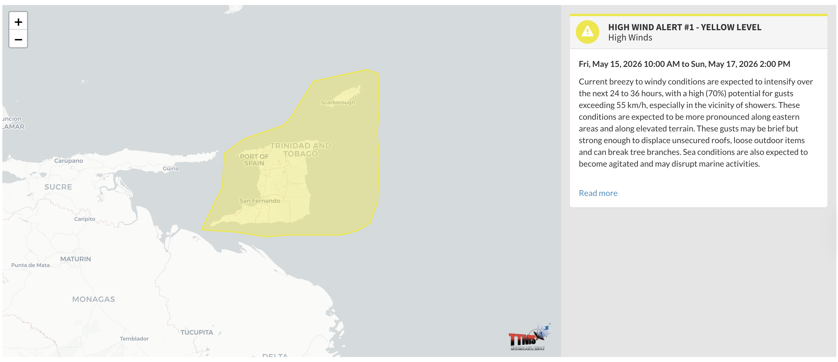
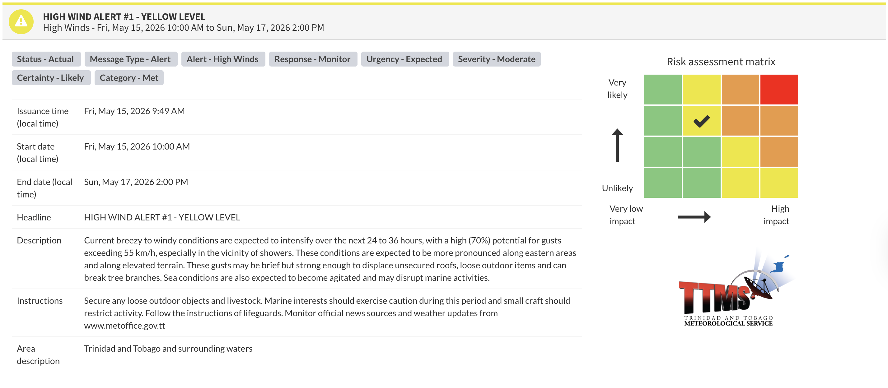
“Current breezy to windy conditions are expected to intensify over the next 24 to 36 hours, with a high (70%) potential for gusts exceeding 55 km/h, especially in the vicinity of showers. These conditions are expected to be more pronounced along eastern areas and along elevated terrain. These gusts may be brief but strong enough to displace unsecured roofs, loose outdoor items and can break tree branches. Sea conditions are also expected to become agitated and may disrupt marine activities,” according to the Trinidad and Tobago Meteorological Service.
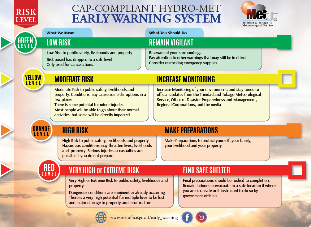
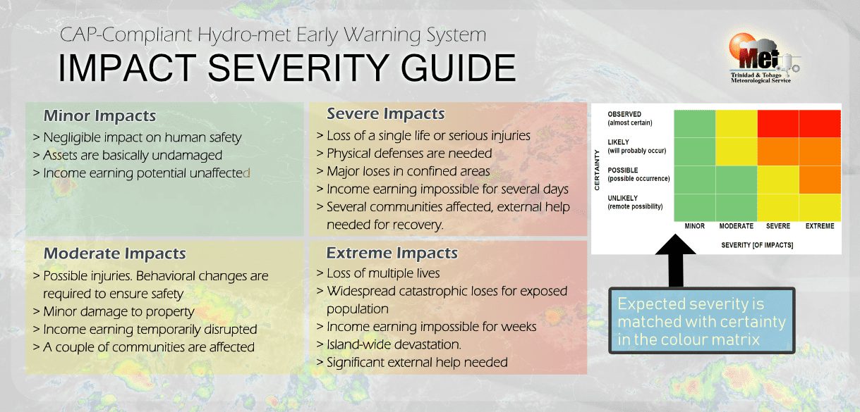
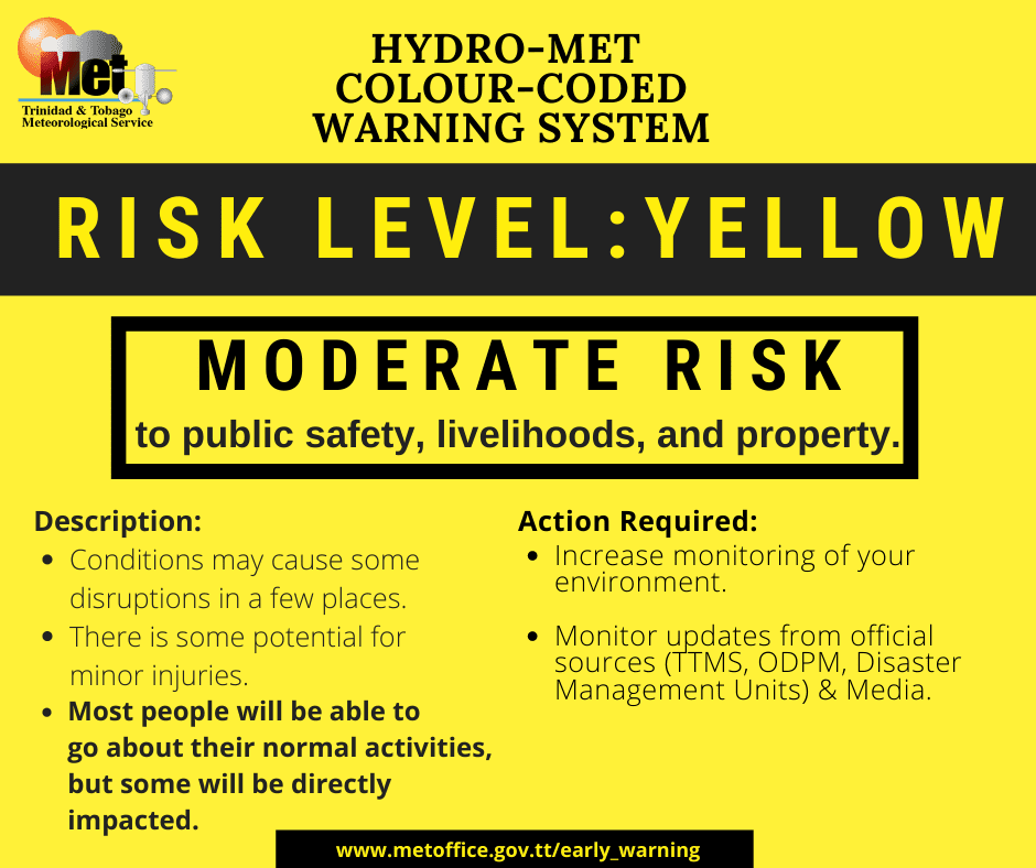
The alert’s color indicates the event’s severity and the likelihood of its occurrence. Currently, the alert level is yellow. This means the hazards are likely, and the impacts are moderate for this alert.
These include the toppling of potted plants and light objects outdoors, falling over, or becoming airborne. Larger but weaker trees may fall, causing roof damage or downing power lines and utility poles. Unsecured roofs may be damaged. These strong winds are forecast to agitate seas and reduce visibility in marine areas.
A moderate High Wind Alert can cause injuries, and behavioral changes are required to ensure safety. Property may be damaged, and income-earning activities may be temporarily disrupted. A couple of communities are affected.
The Met Office advises the public to secure any loose outdoor objects and livestock. Marine interests should exercise caution during this period and small craft should restrict activity. Follow the instructions of lifeguards.