


Trinidad and Tobago is forecast to experience near-normal seas over the next seven days. Through the weekend, increased tidal fluctuations are forecast due to Spring Tides. By Sunday into Monday, strong low-level winds are forecast which may briefly agitate seas. Saharan Dust is also forecast to reduce horizontal visibility from Monday.
There are no alerts, watches, or warnings from the Trinidad and Tobago Meteorological Service for Trinidad and Tobago at this time.
Seas Forecast For Trinidad and Tobago
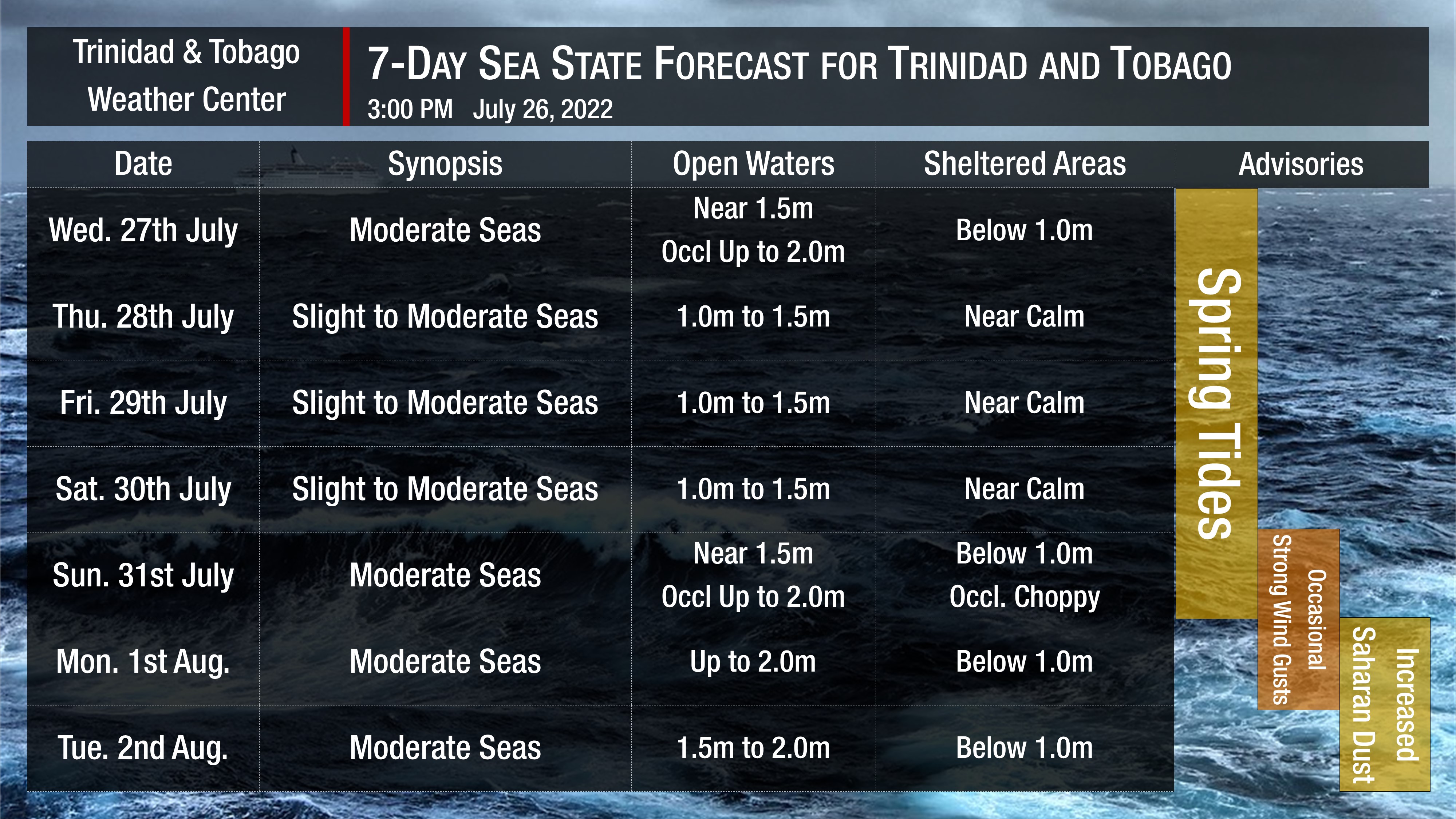
Seas are forecast to be slight to moderate over the next seven days. Waves in open waters are forecast to be generally between 1.0 and 2.0 meters. In sheltered areas, waves are forecast to be near or below 1.0 meters, becoming near calm on Thursday through Saturday.
Winds are forecast to be gentle to moderate from late Wednesday through Saturday, with sustained winds between 5 to 15 knots from generally the southeast to the northeast. Gusts during this period are forecast to reach 25 knots. From Sunday, winds are forecast to be between 10 to 20 knots from the southeast to the northeast, with gusts to 35 knots, trending higher across northern areas of both islands.
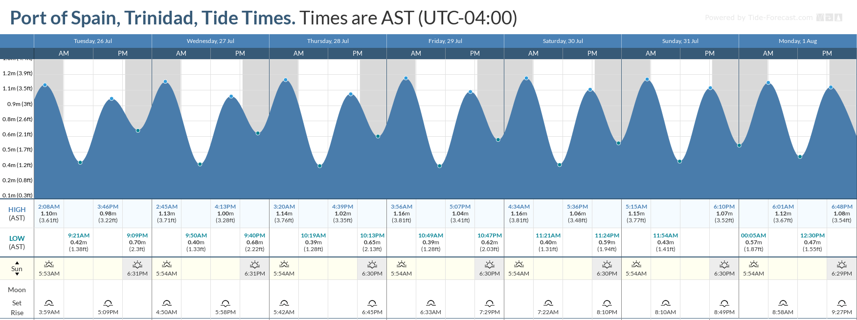
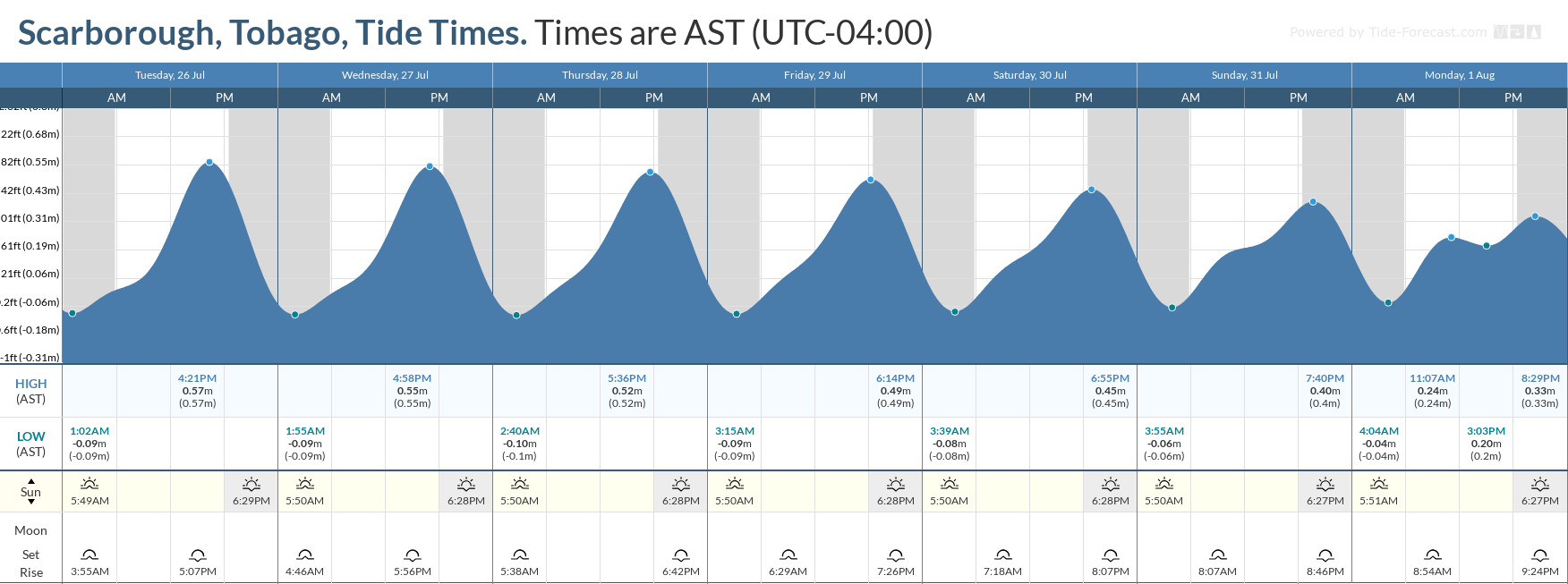
Spring tides are forecast to continue through Sunday, July 31st, 2022. These are higher than usual high tides and lower than usual low tides which may increase the risk of rip currents.
How to spot a rip current

Rip Currents
Saharan Dust is also forecast to fluctuate at mild to moderate concentrations throughout the week into the weekend. Increased dust haze may reduce horizontal visibility to eight kilometers offshore.


