


If you’re near the coast this weekend into next week, you may notice that the ocean is further away from the coastline than usual during a low tide. On the other hand, if you’re at the beach, you may realize that those beach chairs should be placed further inland because, at high tide, the water is unusually high.
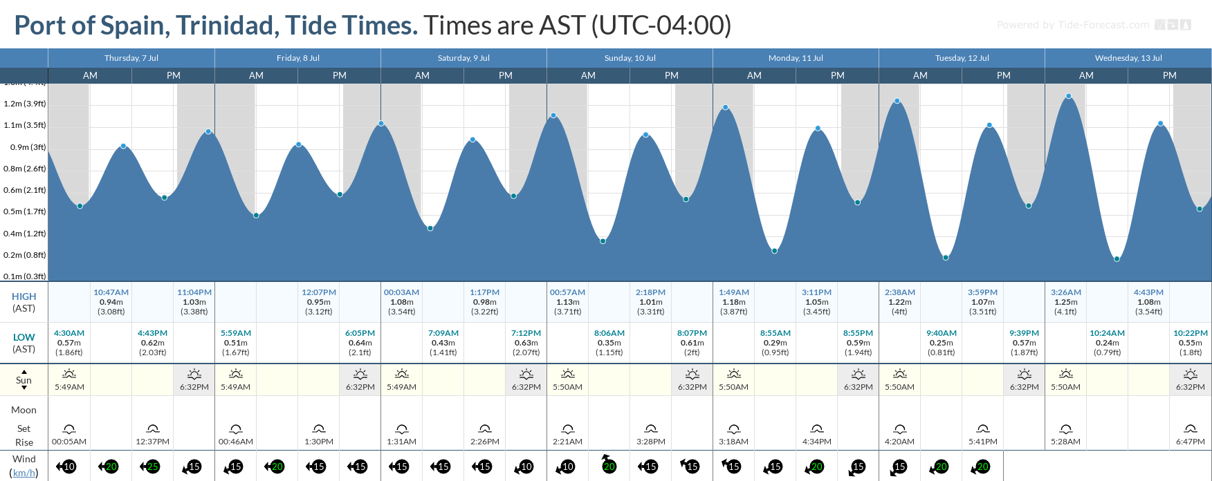
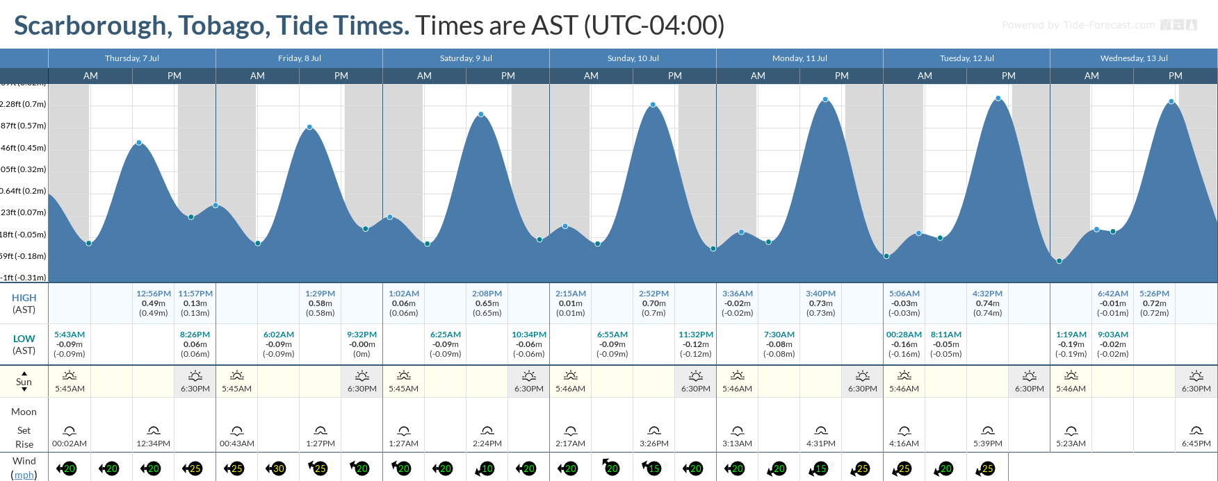
From Saturday, July 9th, 2022, this year’s highest high tides and lowest low tides are set to begin, ahead of the July 13th Supermoon. These tides are called King Tides, which usually indicate some of the highest tidal variations for a calendar year.
While these tides will affect nearshore areas, seas are forecast to remain moderate and occasionally choppy in open waters due to elevated low-level winds.
In addition, moderate to high concentrations of Saharan Dust are forecast to reduce horizontal visibility offshore, particularly from next week.
There are no marine-specific alerts, watches, or warnings in effect from the Trinidad and Tobago Meteorological Service at this time.
Seas Forecast For Trinidad and Tobago
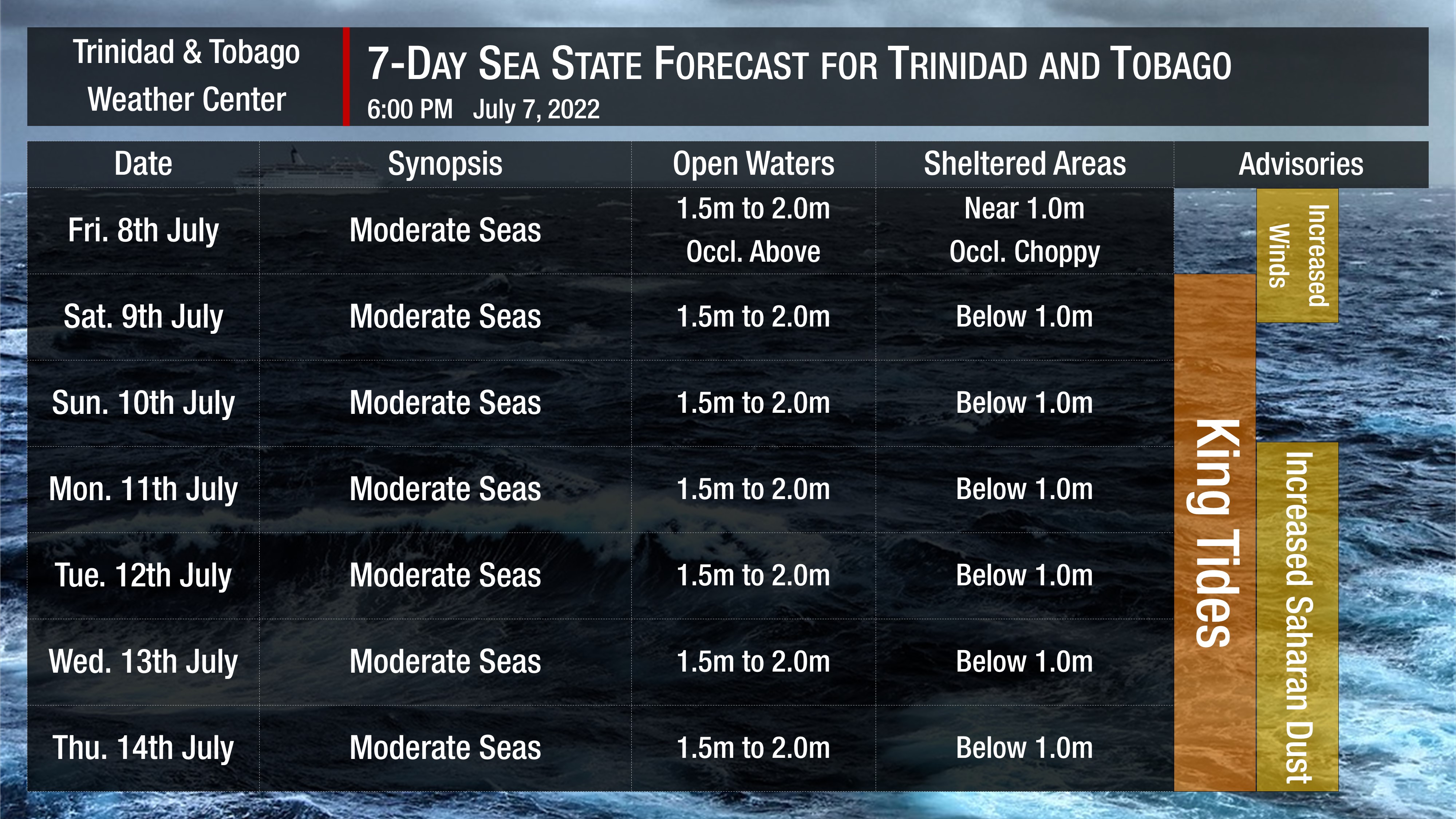
In sheltered areas, waves are forecast to be near or below 1.0 meters with occasionally choppy conditions due to forecast heavy showers or thunderstorm activity on Friday through the weekend, as well as due to increased low-level winds from late Thursday (tonight) into Friday.
Additionally, King Tides are set to begin on Saturday, July 9th, 2022, and continue through the upcoming week (through July 16th). These tidal fluctuations will increase the potential for rip currents along T&T’s coastlines. With no lifeguards at some of our nation’s most popular beaches “until further notice,” extreme caution will be required by beachgoers.
How to spot a rip current

Rip Currents
Winds are forecast to be moderate to fresh through the next several days, with sustained winds between 15 to 20 knots from the southeast to the northeast but gusts as high as 30 knots are possible, mainly on Thursday night into Friday and next week Thursday night into Friday.
Generally, seas in open waters will remain moderate through the next seven days. In open waters, waves are forecast to generally be up to 2.0 meters through this week. By late Thursday through early Saturday, open water waves may exceed 2.0 meters.
Saharan Dust will continue affecting T&T even with anticipated rainfall. Dust haze will gradually diminish through the weekend, with another surge set to arrive by Monday, July 11th, 2022. Horizontal visibility may dip as low as 6 kilometers outside of shower or thunderstorm activity from Monday, July 11th, 2022.


