


Seas are forecast to become remain near normal for this time of year over the next week. Low-level winds are forecast to remain moderate, with no long-period swells forecast. In addition, a moderate surge of Saharan Dust is set to reduce horizontal visibility offshore, creating potentially unsafe conditions for smaller crafts.
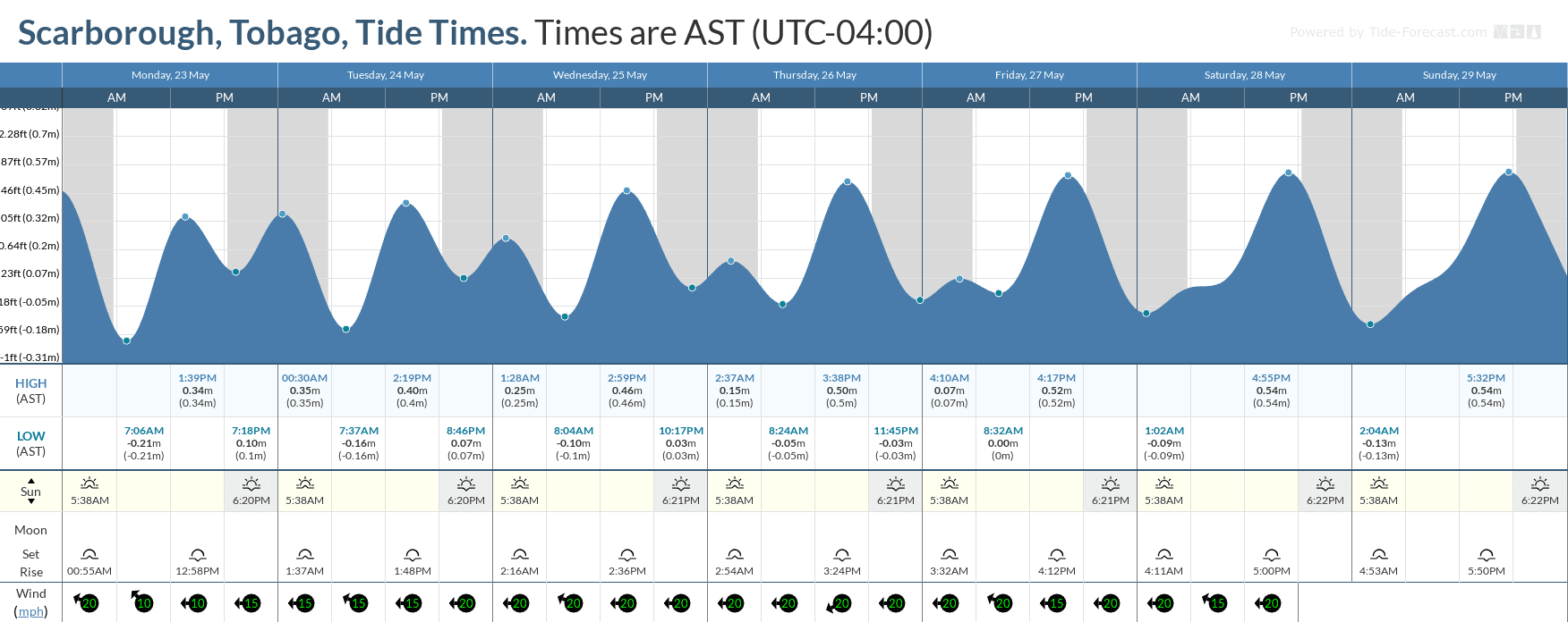
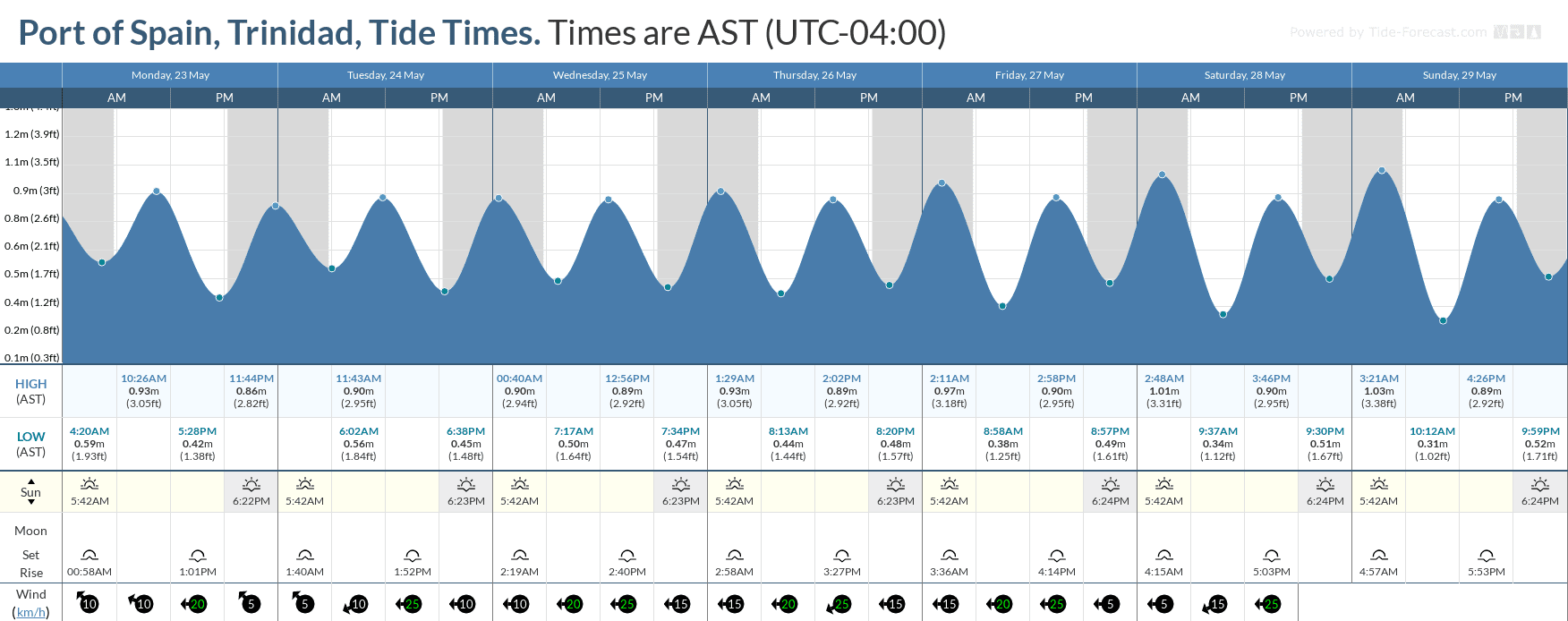
Spring tides are also forecast to begin on Saturday due to a new moon expected on Monday, May 30th, 2022.
There are no alerts, watches, or warnings in effect from the Trinidad and Tobago Meteorological Service for the country at this time.
Seas Forecast For Trinidad and Tobago
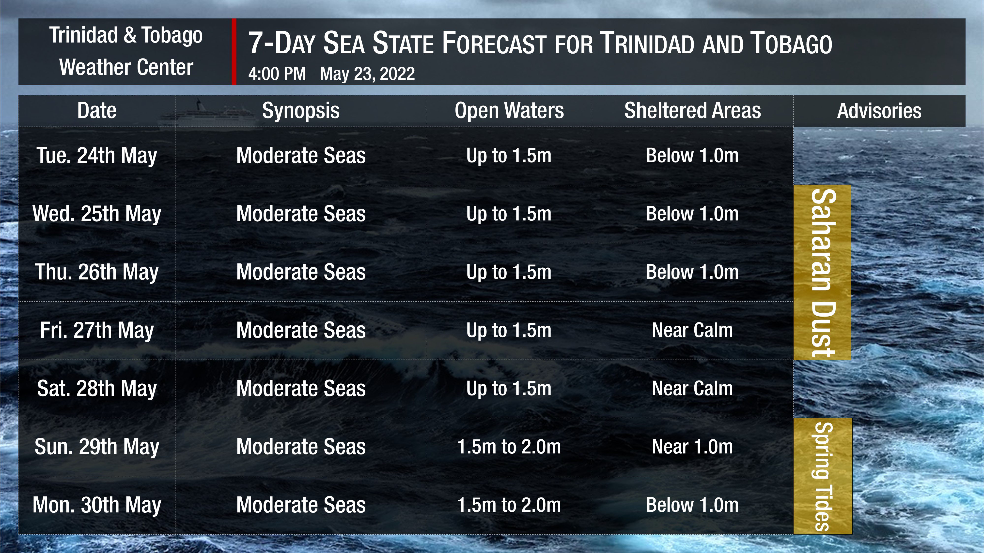
In sheltered areas, waves are forecast to be below one meter to near calm through the next seven days. Occasionally choppy seas are possible on Tuesday, May 24th, 2022 in heavy shower or thunderstorm activity. Additionally, caution will be warranted from Saturday, May 28th, 2022 due to spring tides. These higher than usual high tides and lower than usual low tides will create an elevated risk of undercurrents and rip currents during the long weekend into next week.
Winds are forecast to be moderate to fresh through the next several days, with sustained winds up to 15 knots from the southeast to northeast and gusts as high as 25 knots.
Generally, seas in open waters are forecast to remain moderate through the next seven days. In open waters, waves are forecast to generally be up to 1.5 meters through the week, becoming up to 2.0 meters through the weekend.
From Wednesday, a surge of Saharan Dust will begin to affect T&T. Dust haze will gradually diminish into the weekend. Still, horizontal visibility may dip to as low as 7 kilometers outside of shower or thunderstorm activity.


