

The Trinidad and Tobago Meteorological Service (TTMS) has discontinued the Adverse Weather Alert as the threat of impactful weather has significantly diminished, largely due to the influx of Saharan Dust, which has stabilized the atmosphere and reduced rainfall chances across the country.
What you need to know
— What has happened: Heavy showers and thunderstorms produced high rainfall accumulations over the last 48 hours, particularly across Tobago and northern/eastern Trinidad, elevating minor and major watercourses, but notably, none overtopped. Tropical Wave 27 is now west of T&T, and the ITCZ is forecast to drift southward overnight.
— What to expect: Rainfall has ceased, and mostly dry conditions are forecast across the country through the next two to three days, with rainfall likely returning by Thursday.
Latest Alerts

Adverse Weather Alert Discontinued For T&T
Trinidad and Tobago is NOT under any tropical storm or hurricane threat, watch, or warning at this time.
The Localized Flood Alert
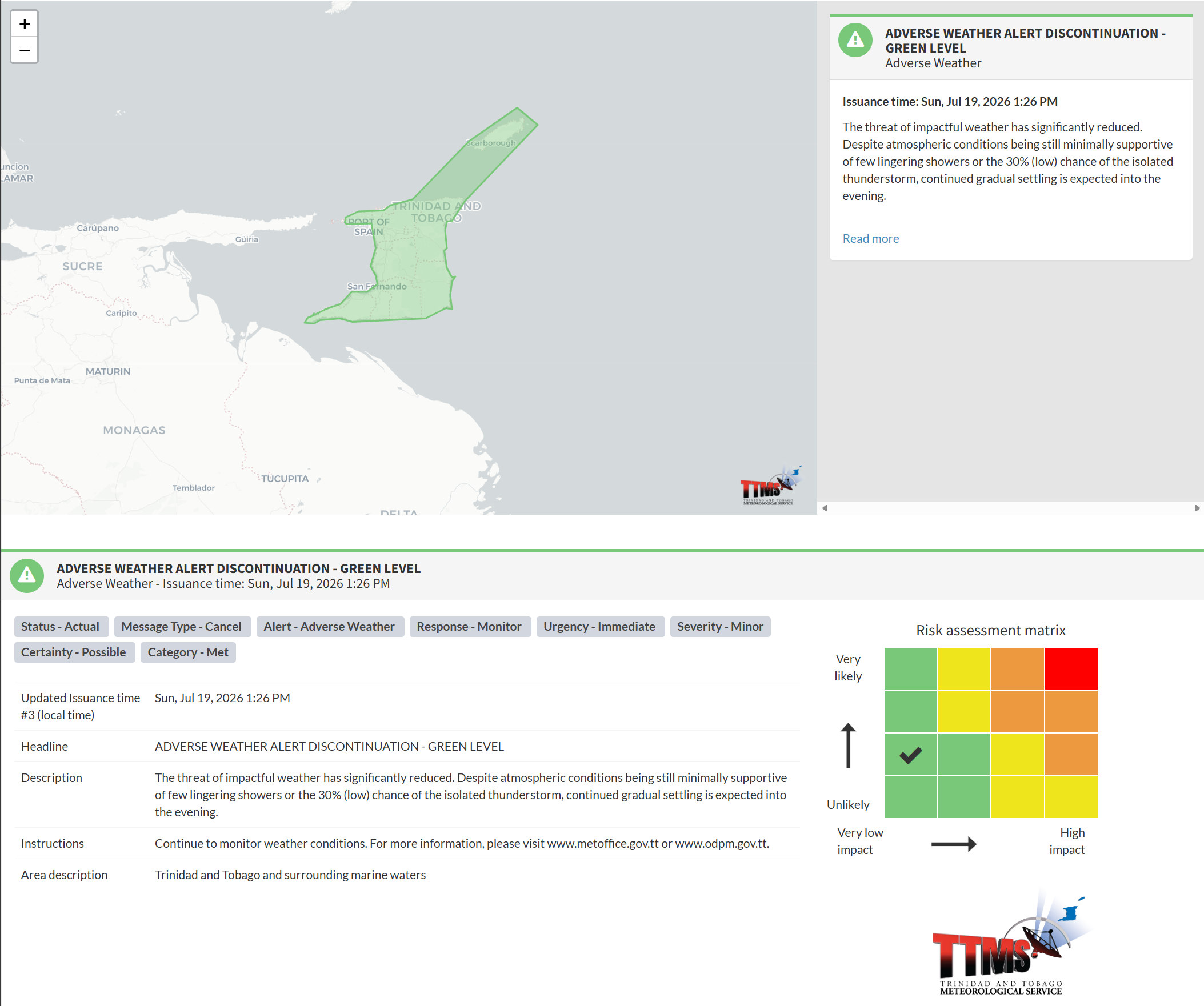
The Trinidad and Tobago Meteorological Service discontinued the Adverse Flood Alert (Yellow Level) on Sunday at 1:26 PM.
The TTMS states, “The threat of impactful weather has significantly reduced. Despite atmospheric conditions still being minimally supportive of a few lingering showers or the 30% (low) chance of an isolated thunderstorm, continued gradual settling is expected into the evening.”
Heavy rainfall occurred across much of Trinidad and Tobago between July 18th and 19th. Across Tobago, which is facing drought concerns by the end of July, beneficial rainfall between 25 and 50 millimeters fell across the island, with totals nearing 100 millimeters across eastern areas – matching the rainfall pattern of July 12th-13th.
Across the northern half of Trinidad, rainfall totals ranged from 5 to 20 millimeters, with north-central, northeastern, and west-central Trinidad picking up isolated totals between 25 and 50 millimeters.
While localized, short-lived street flooding was reported across parts of the East-West corridor of Trinidad, no major or impactful flooding was reported during the Adverse Weather Alert period. As a result of the rainfall, particularly on Sunday, all major rivers are well contained, with the Caroni River rising between 50% and 65% on Sunday afternoon.
Gusty winds were also a threat with rainfall activity, but with no deep convection bringing those stronger aloft winds down to the surface, wind gusts over the weekend generally remained below 50 km/h. There were some sporadic reports of fallen trees across northern Trinidad, temporarily blocking roads in Petit Valley and Cumuto.
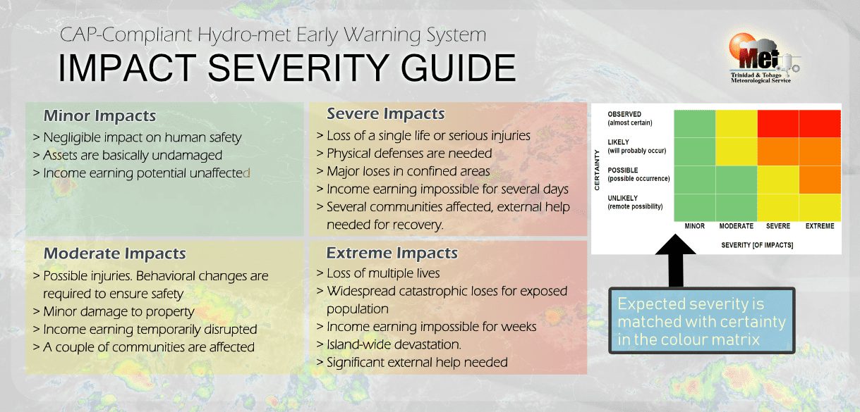
This “alert” status considers the possibility of the event ending, with certainty at its second-lowest – possible, and additional impacts minor.
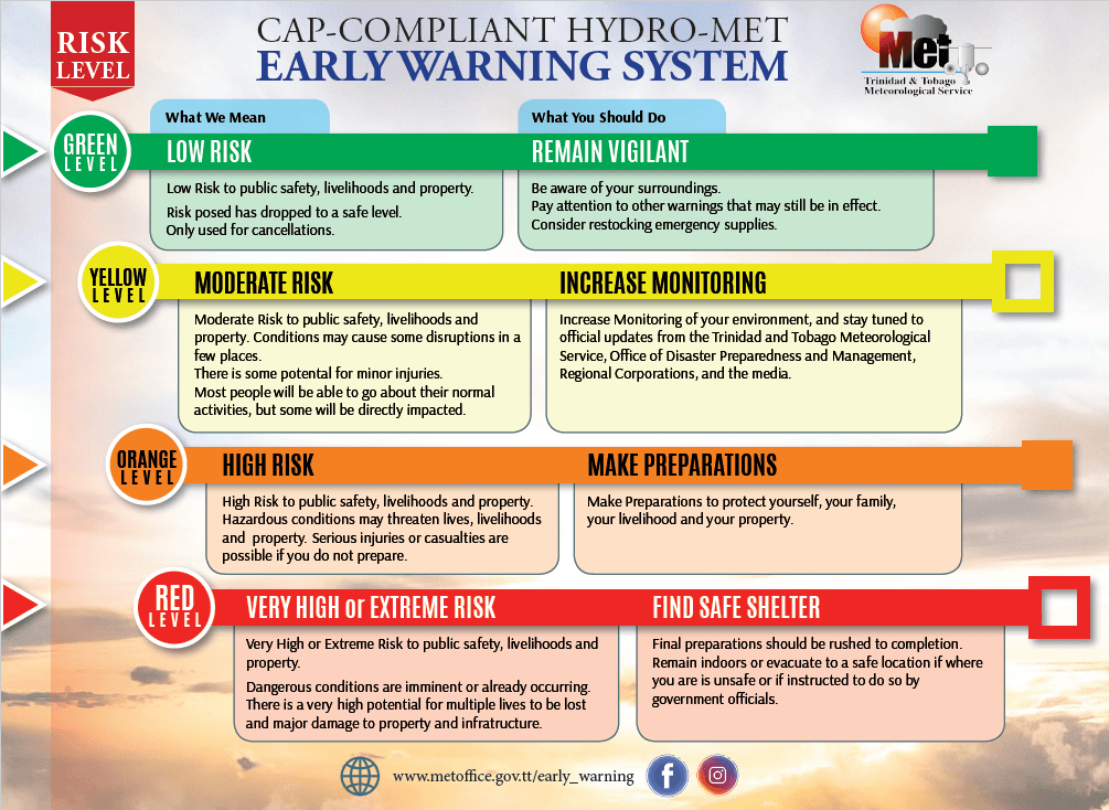
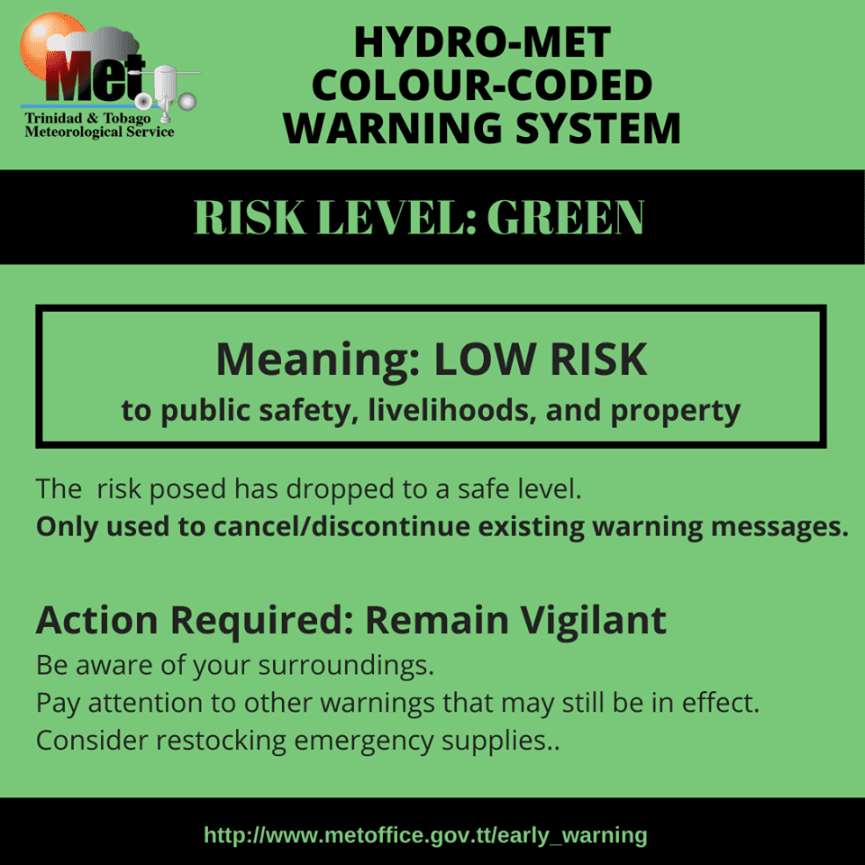
According to the TTMS, there is a low risk to public safety, livelihoods, and property at this level.
The Met Office advises the public to continue to monitor weather conditions.