


The Trinidad and Tobago Meteorological Service has discontinued the Adverse Weather Alert for Trinidad and Tobago, as according to them, “Significant weather activity has diminished.” However, strong thunderstorms are affecting southwestern and southeastern Trinidad, as well as northeastern Tobago, all moving north to northeast.
What you need to know
— What has happened: Tropical Storm Philippe, well to Trinidad and Tobago’s northeast, has influenced our wind regime and led to favorable areas of convergence, combined with favorable upper-level conditions. As a result, intense thunderstorms with frequent lightning have occurred across T&T on Sunday night and are forecast to continue through today (Monday), even with the cancellation of the Adverse Weather Alert
— What to expect: Though the alert has been officially canceled by the Trinidad and Tobago Meteorological Service, all prior forecast hazards remain on the table. Street and flash flooding is likely in torrential rainfall, with brief wind gusts in excess of 55 KM/H accompanying heavy showers or thunderstorms. Localized wind damage, such as fallen trees, is possible. Lightning will be intense in thunderstorm activity. Landslides are also possible. Seas are forecast to become locally agitated during heavy showers or thunderstorms.
Latest Alerts

Adverse Weather Alert Discontinued For T&T
Trinidad and Tobago is NOT under any tropical storm or hurricane threat, watch, or warning at this time.
The Adverse Weather Alert
Hours The Trinidad and Tobago Meteorological Service discontinued the Adverse Weather Alert (Yellow Level) on Monday at 10:04 AM.
Trinidad and Tobago is not under any tropical storm watch or warning at this time.
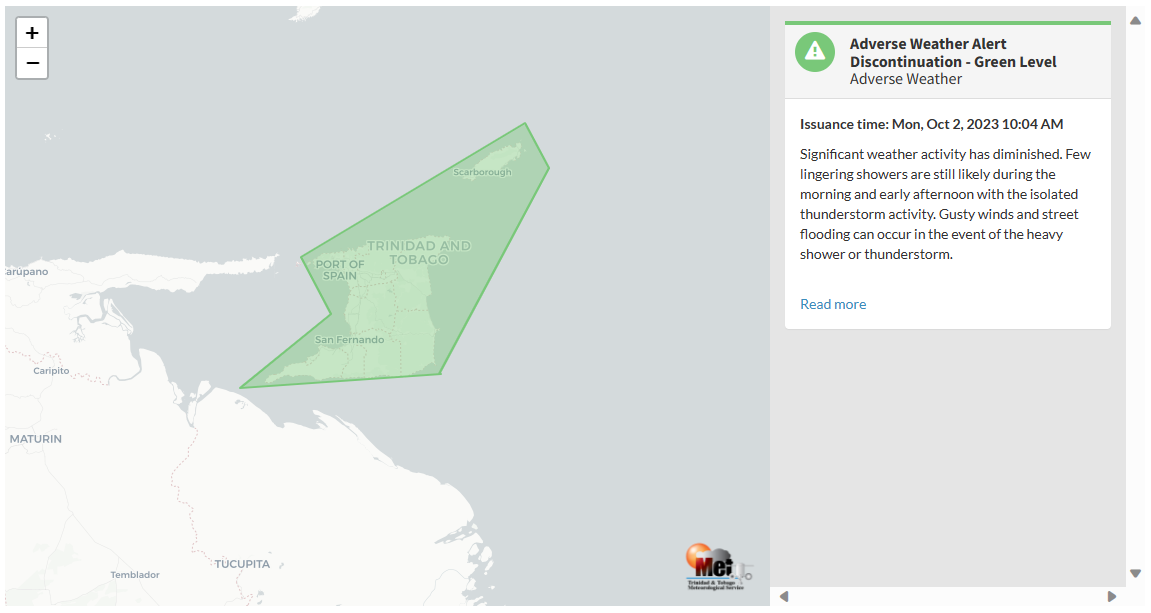
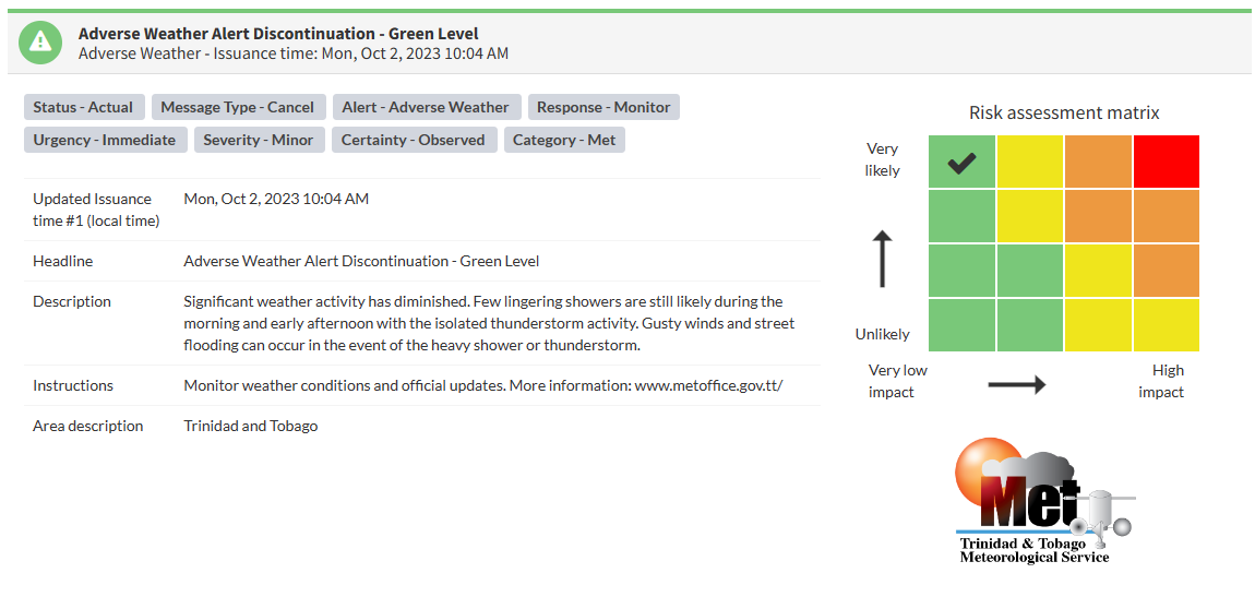
According to the TTMS, “Significant weather activity has diminished. Few lingering showers are still likely during the morning and early afternoon, with isolated thunderstorm activity. Gusty winds and street flooding can occur in the event of a heavy shower or thunderstorm.“ This “alert” status takes into account the possibility of the event ending, with the certainty at its highest, expected or observed.

The color of the alert indicates the severity of the event and the probability of the event occurring. Currently, the alert level is at Green, as the discontinuation was issued, with certainty at very likely/observed, and according to the TTMS, impacts are expected to be minor.
At this level, according to the TTMS, there is a low risk to public safety, livelihoods, and property.
The Met Office is advising the public to continue monitoring weather conditions and updates from official sources.


