


Winds continue to remain generally light to moderate across Trinidad and Tobago over the next seven days, leading to slight to moderate seas. Additionally, spring tides and long-period swells are forecast through October 2nd, leading to agitated seas in nearshore areas.
Latest Alerts

Adverse Weather Alert Discontinued For T&T
Trinidad and Tobago is NOT under any tropical storm or hurricane threat, watch, or warning at this time.
Seas Forecast For Trinidad and Tobago
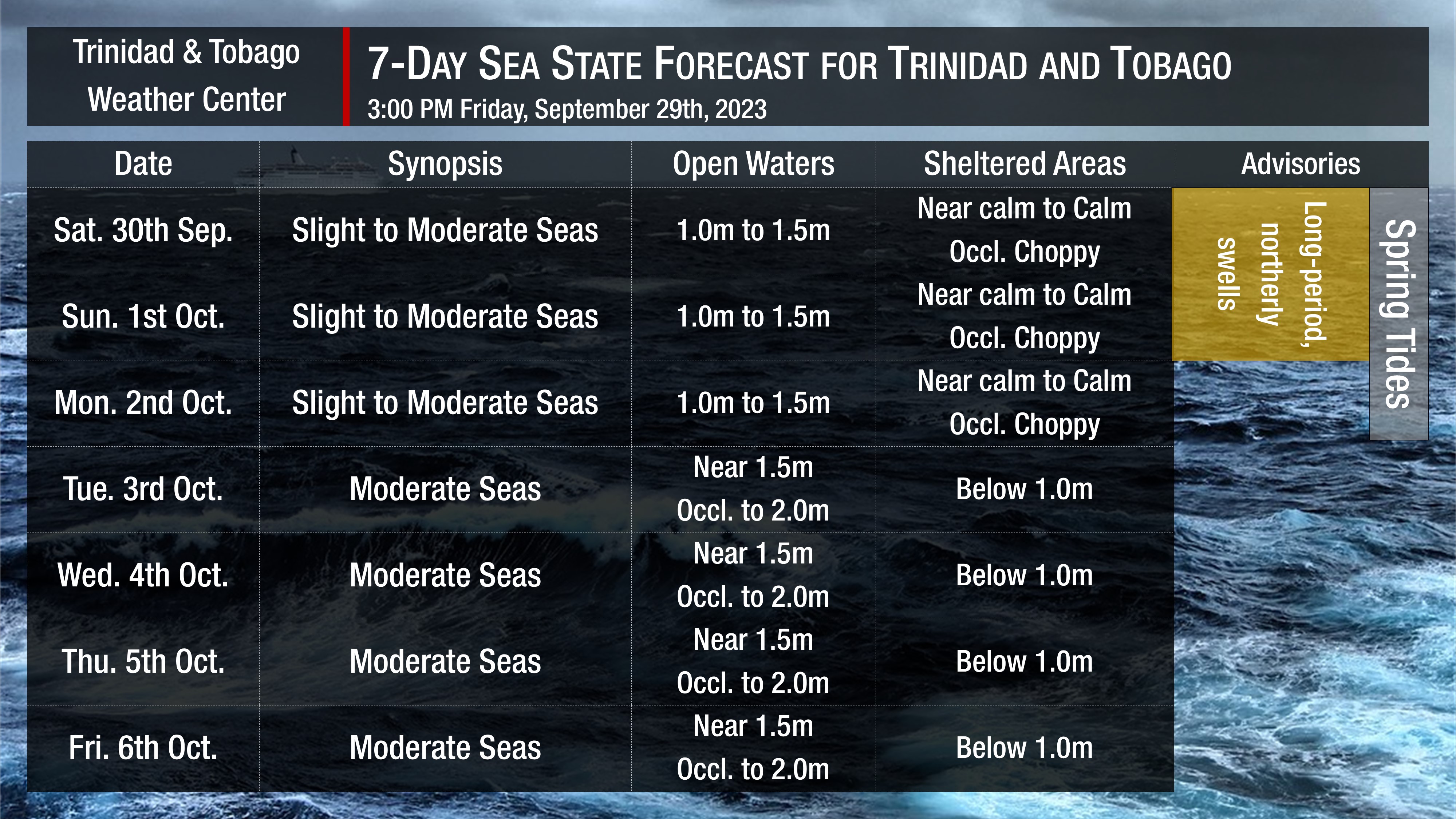
Friday through Monday: Seas are forecast to be slight to moderate in open waters with waves between 1.0 and 1.5 meters, while in sheltered areas, waves are forecast to be near calm to calm. However, with spring tides ongoing and afternoon heavy showers/thunderstorms, nearshore areas could become agitated. Swell periods are forecast to range between 8 and 14 seconds. Winds are forecast to range between 5 to 10 knots from south to east, gusting up to 20 knots near showers or thunderstorms and up to 30 knots in strong/severe thunderstorms. Through Monday, as atmospheric steering currents are generally from the south (southwest to southeast), heavy showers/thunderstorms from northern Venezuela may move from the south to the north, creating hazardous conditions in the Columbus Channel and Gulf of Paria. Mariners should pay close attention to the latest weather information for possible hazardous weather/marine conditions.
Tuesday through Thursday: Seas are forecast to be moderate in open waters with waves between 1.5 meters and 2.0 meters, while in sheltered areas, waves are forecast to be below 1.0 meter but occasionally choppy in the vicinity of occasional heavy showers or thunderstorms. Swell periods are forecast to range between 8 and 11 seconds. Winds are forecast to range between 10 to 15 knots from the southeast to northeast, gusting to 25 knots in the vicinity of heavy showers or thunderstorms.
Possible Impacts
Saharan Dust concentrations are forecast to be at minimal levels through the next seven days.
Longer period swells are forecast through the weekend, which may result in larger than usual waves along the northern coastlines of both islands. Mariners and beachgoers should follow advice from lifeguards and exercise caution.
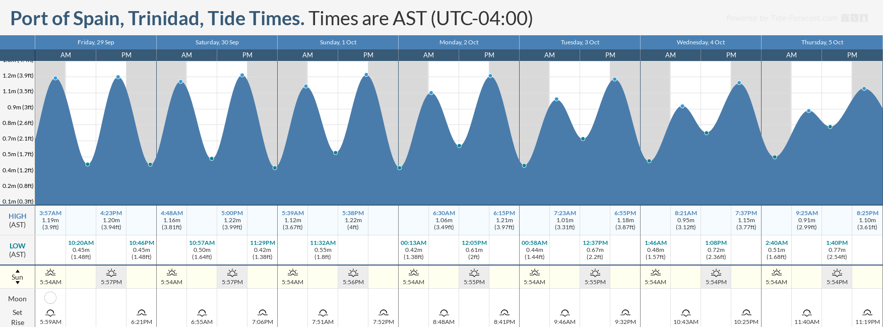
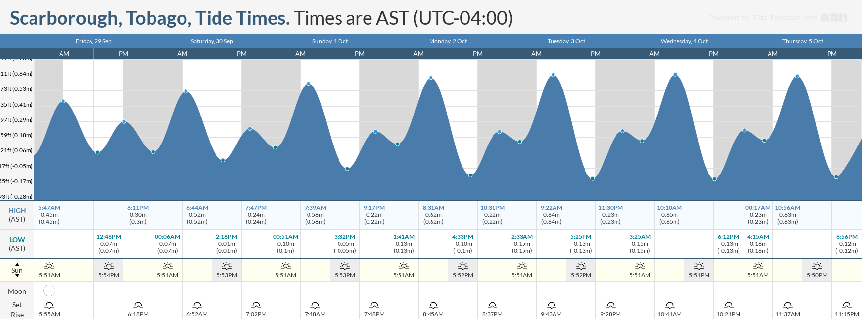
Spring tides, which mean higher than usual high tides and lower than usual low tides, are forecast through October 2nd. These may create potentially hazardous conditions for marine interests during peak high tide and low tide periods.
With both of these hazards present through the forecast period, rip currents also pose a hazard, particularly on the northern and eastern beaches of both islands.


