


All major rivers across Trinidad are being closely monitored following prolonged heavy rainfall overnight Tuesday into Wednesday. Major river levels across Trinidad are above 80% capacity, with several smaller tributaries already overtopping since early Wednesday morning.
What you need to know
— What has happened: Over the last 24 hours, between 25 and 100 millimeters of rain fell across parts of Trinidad and Tobago, with isolated totals exceeding 100 millimeters. Compounding the flooding situation, over the next 24 hours, an additional 10-25 millimeters of rain fell across the country, with isolated totals exceeding 75 millimeters.
— What to expect: More rainfall over the next 24-36 hours. Riverine flooding is likely across all major river basins in Trinidad, particularly smaller tributaries to larger rivers and across southern and eastern Trinidad.
The Riverine Flood Alert
The Trinidad and Tobago Meteorological Service issued a Riverine Flood Alert (Yellow Level) at 6:42 AM Wednesday. The alert went into effect for Trinidad from 6:45 AM Wednesday, November 9th, 2022, and remains in effect until 4:00 AM Friday, November 11th, 2022.
Trinidad and Tobago is not under any tropical storm watch or warning at this time.
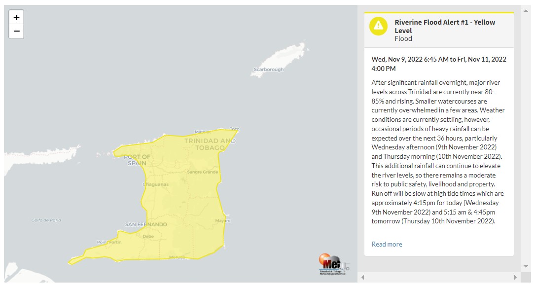

“After significant rainfall overnight, major river levels across Trinidad are currently near 80-85% and rising. Smaller watercourses are currently overwhelmed in a few areas. Weather conditions are currently settling. However, occasional periods of heavy rainfall can be expected over the next 36 hours, particularly Wednesday afternoon (9th November 2022) and Thursday morning (10th November 2022). This additional rainfall can continue to elevate the river levels, so there remains a moderate risk to public safety, livelihood and property. The run-off will be slow at high tide times, which are approximately 4:15 pm today (Wednesday, 9th November 2022) and 5:15 am & 4:45 pm tomorrow (Thursday, 10th November 2022),” according to the Trinidad and Tobago Meteorological Service. This “alert” status takes into account the possibility of the event occurring. This riverine flood event is likely.

The color of the alert indicates the severity of the event and the probability of the event occurring. Currently, the alert level is Yellow. This means that the hazards are likely, and the severity of the impacts is moderate for this particular alert. You should be aware of the hazards in your area, and you need to be aware of the impacts of street, flash, and riverine flooding in your area.
For a moderate Riverine Flood Alert, there is the potential for possible injuries, where behavioral changes are required to ensure safety. There may be minor damage to property, with income-earning temporarily disrupted and a couple of communities affected.
The Met Office is advising the public to monitor weather conditions, river levels, and updates from official sources and not wade or drive through flood waters.


