


Seas are forecast to generally moderate across Trinidad and Tobago through the next seven days. Through Friday, a combination of spring tides, showers and thunderstorms, and elevated low-level winds are forecast to agitate seas, particularly in sheltered and nearshore areas.
There are no marine alerts, watches, or warnings from the Trinidad and Tobago Meteorological Service for Trinidad and Tobago at this time.
Latest Alert

Adverse Weather Alert Discontinued, Moderate Impacts Still Possible
Seas Forecast For Trinidad and Tobago
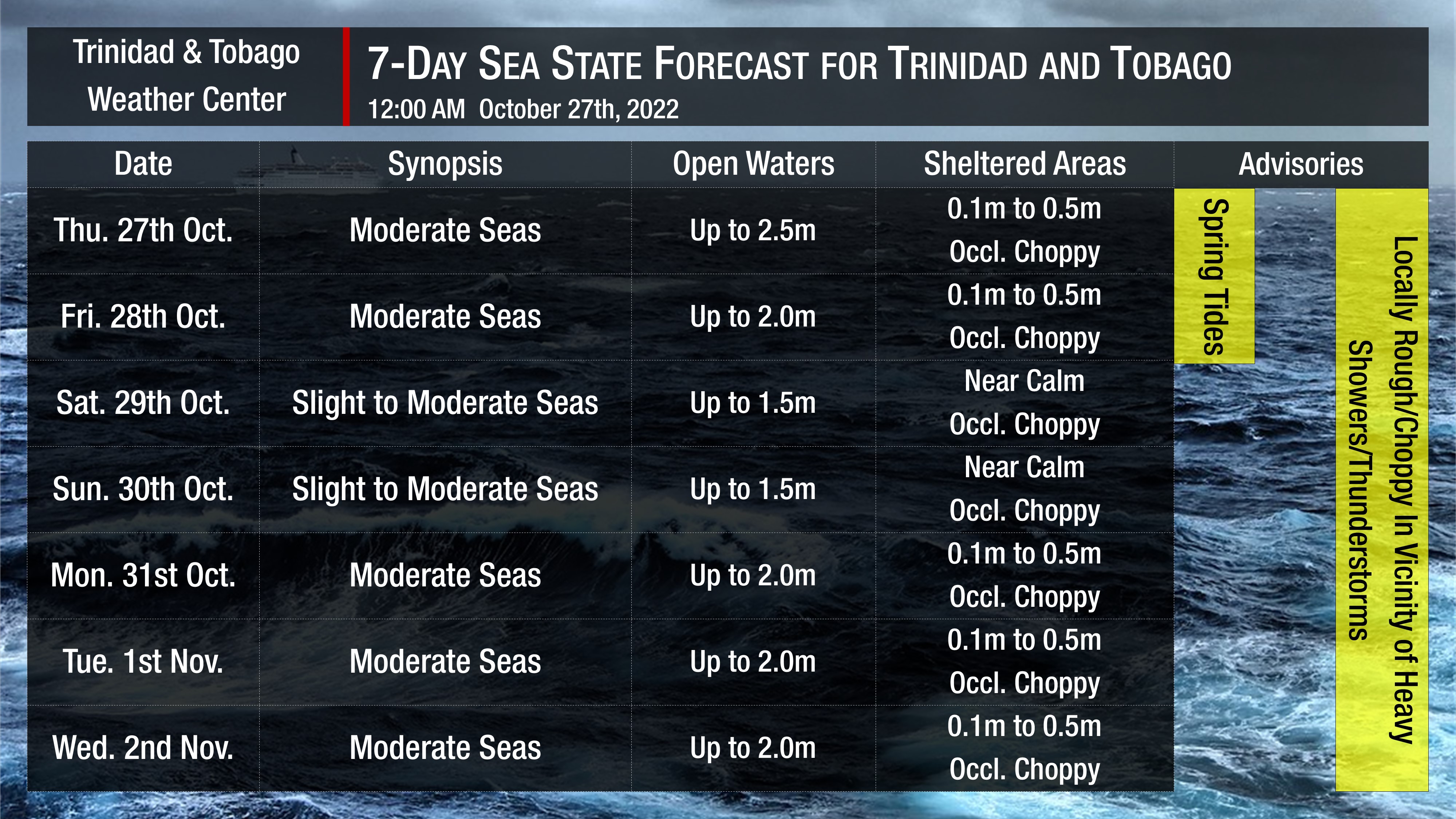
Through the next two days, as low-level winds remain elevated, seas in open waters become moderate, with waves reaching as high as 2.5 meters and but remaining less than 1.0 meter in sheltered areas with occasionally choppy conditions in heavy showers or thunderstorm activity, mainly in the Gulf of Paria.
Through the next seven days, moderate swells are forecast with swell periods of up to 10 seconds, mainly from the north-northeast to the northeast.
Winds are forecast to be moderate, with sustained winds between 10 to 20 knots from the south to east generally through the forecast period. Gusts may occasionally reach 30 knots in the vicinity of heavy showers or thunderstorms, particularly through Friday. Gentle winds are forecast between Saturday and Sunday, with sustained winds up to 15 knots and gusts to 20 knots.
Possible Impacts
Minimal fluctuating concentrations of Saharan Dust are forecast across Trinidad and Tobago over the forecast period, marginally reducing visibility and air quality.
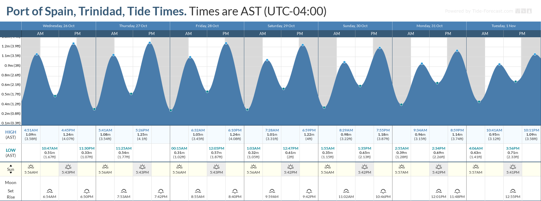
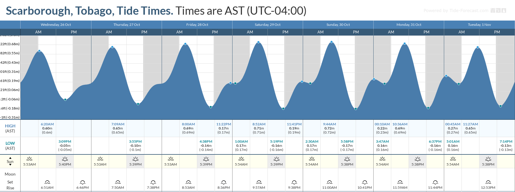
With a new moon on October 25th, spring tides began on October 22nd, 2022, through October 28th, 2022. These are higher than usual high tides and lower than usual low tides which may increase the risk of rip currents, particularly with the presence of higher energy waves due to long-period swells over the weekend. Rip currents are strong currents perpendicular to the shoreline that can carry even the strongest swimmers out to sea. Elevated high tides will also slow runoff and lead to a slower reduction of river levels following heavy rain over the next 48 hours (through Friday).


