


Seas are forecast to generally remain slight to moderate across Trinidad and Tobago through the next seven days as elevated winds subside. Additionally, spring tides are forecast to end by Wednesday, October 12th, 2022.
There are no sea-based alerts, watches, or warnings from the Trinidad and Tobago Meteorological Service for Trinidad and Tobago at this time.
Seas Forecast For Trinidad and Tobago
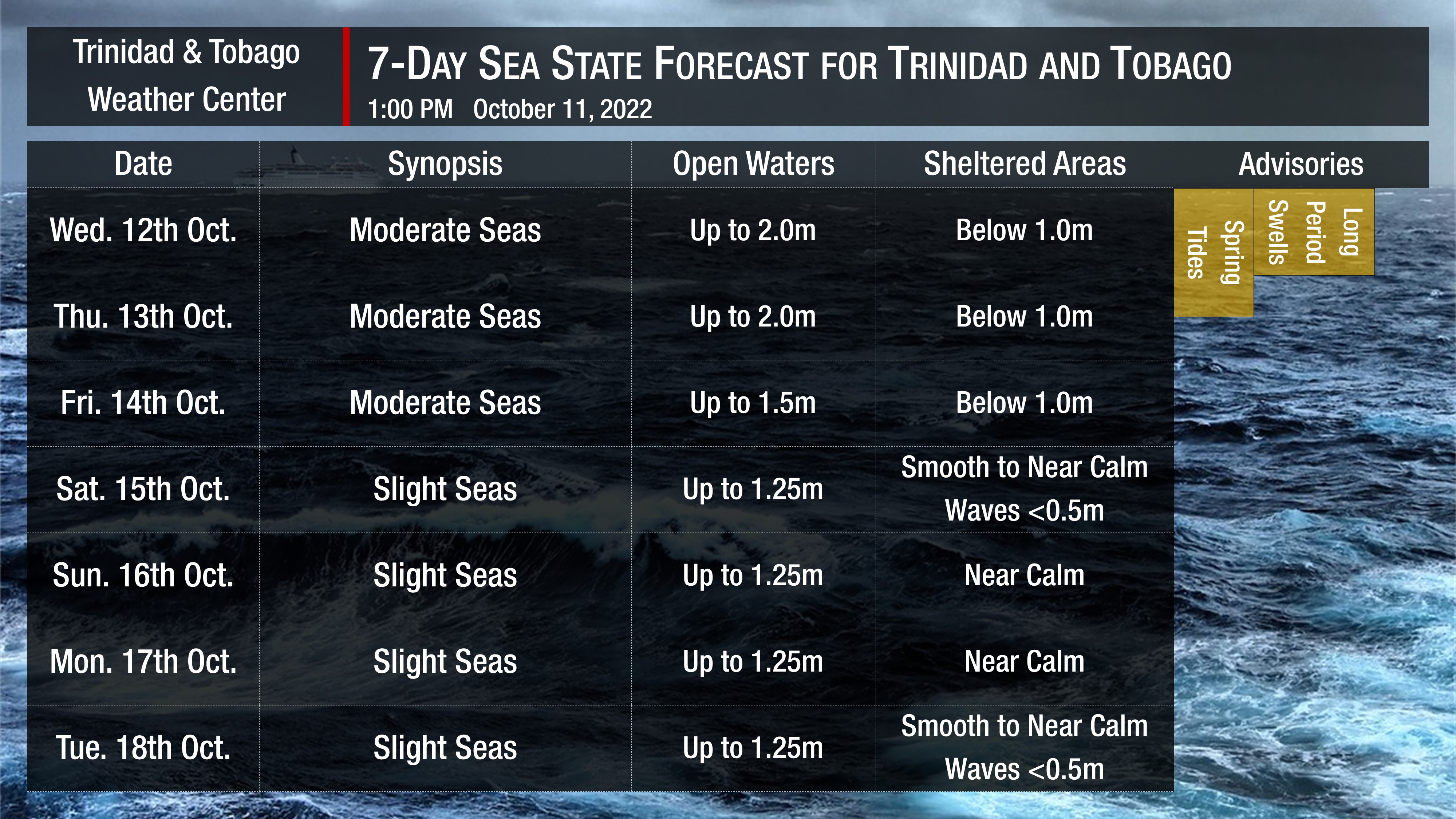
Through the next two days, seas in open waters are forecast to be moderate, with waves up to 2.0 meters generally. In sheltered areas, waves are forecast to be less than 1.0 meters, with occasionally choppy conditions in heavy showers or thunderstorm activity.
By Saturday, as low-level winds decrease, seas in open waters become slight, with waves up to 1.25 meters and smooth to near calm in sheltered areas.
Swell periods are forecast to generally be less than 10 seconds through the forecast period, with long-period swells (> 11-second periods) possible on Wednesday.
Winds are forecast to be gentle to moderate, with sustained winds between 10 to 15 knots from the east-northeast to east-southeast generally through Saturday, becoming between 5 to 15 knots from Saturday into next week. Gusts may occasionally exceed 20 knots in the vicinity of heavy showers or thunderstorms.
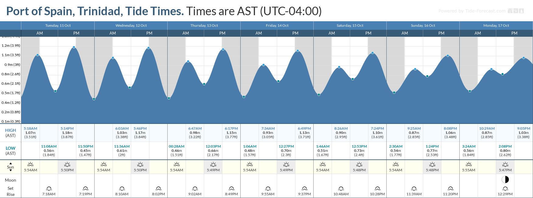
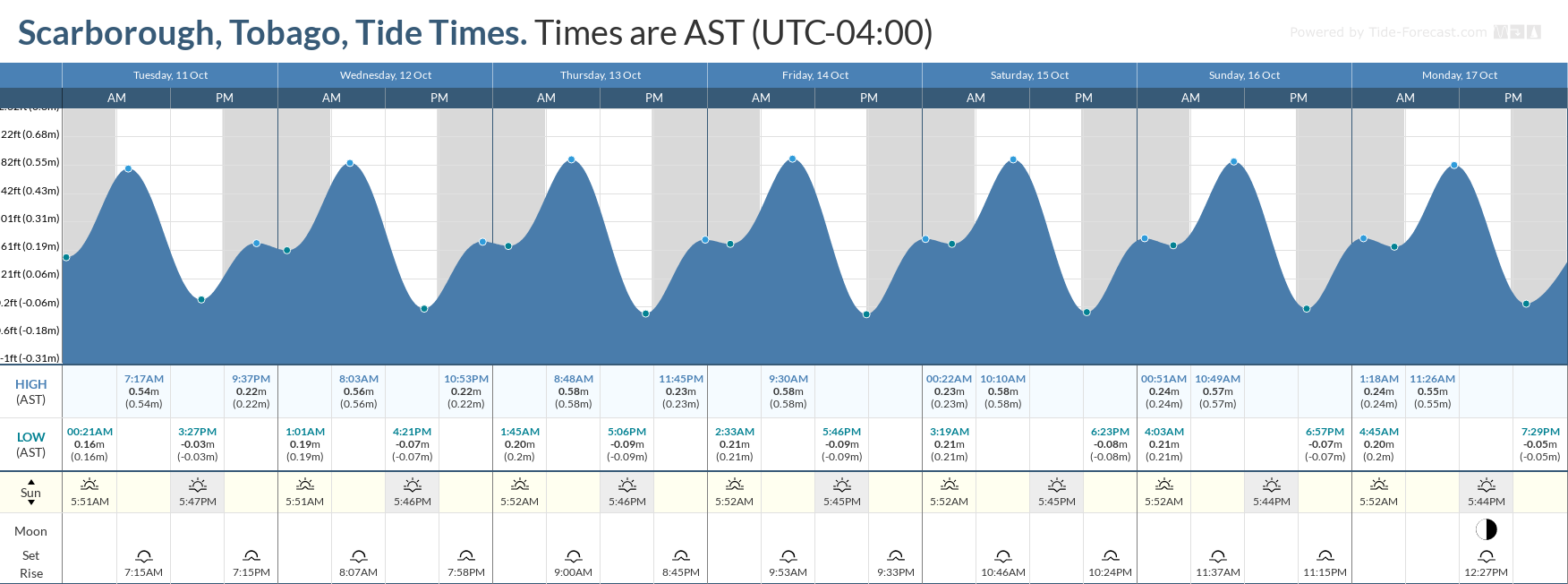
Spring tides are forecast to end by October 13th, 2022. These are higher than usual high tides and lower than usual low tides which may increase the risk of rip currents. Spring tides may also lead to slower runoff and a slower decrease in river levels.
How to spot a rip current

Rip Currents
Saharan Dust is also forecast to remain elevated through this week, reducing visibility and air quality across Trinidad and Tobago.


