


The Intertropical Convergence Zone (ITCZ) is one of Trinidad and Tobago’s main sources of rainfall and a key trigger of the region’s annual Wet Season. This feature can bring days of prolonged rainfall and has historically contributed to several significant flood events.
What is the ITCZ?
The ITCZ is an area where the northeast trade winds from the Northern Hemisphere and the southeast trade winds from the Southern Hemisphere converge. These trade winds originate from sub-tropical highs, and in the Atlantic, these high-pressure systems are called the North Atlantic and South Atlantic subtropical high-pressure systems, respectively.
These subtropical high-pressure systems are areas of slowly sinking air near 30°N and 30°S.
This means that the ITCZ is part of the global wind circulation, which is driven by global differences in solar heating. This heat from the sun is also important for allowing the air to rise, as it heats moist air across the oceans, triggering the convergence mechanism.

It is a belt of low pressure (convergence) that circles the earth near the equator and appears as a band of clouds of showers and thunderstorms.

The ITCZ is sometimes called the monsoon trough in Australia, parts of Asia, and parts of Africa. When it lies near the geographic Equator (0°N), it is sometimes called the near-equatorial trough, as it is an area of low pressure.
How does the ITCZ move?

During the dry season (Northern Hemisphere winter) in Trinidad and Tobago, which generally runs from January through May, the ITCZ remains south of the islands. This is due to more intense heat occurring in the Southern Hemisphere. In fact, it is not until March that the ITCZ crosses the Equator and begins moving northward.
During the wet season (Northern Hemisphere summer) in Trinidad and Tobago, which generally occurs from May through December, the ITCZ periodically moves as far north as 15°N because the Northern Hemisphere receives more intense heating.
On a large scale, this low-pressure belt migrates with the shifting position of the thermal Equator, the region on Earth that receives the most intense heat from the Sun. (The actual definition is the zone of highest mean temperature over the Earth, either in the annual or long-term average or at a given moment.)
Around 20th June each year, the Sun is overhead at 23 ½º North, the Tropic of Cancer. Around 20th December, the Sun is overhead at 23 ½º South, the Tropic of Capricorn.
The movement of the thermal equator shifts the belts of planetary winds and pressure systems north and south annually, as the diagram below shows.

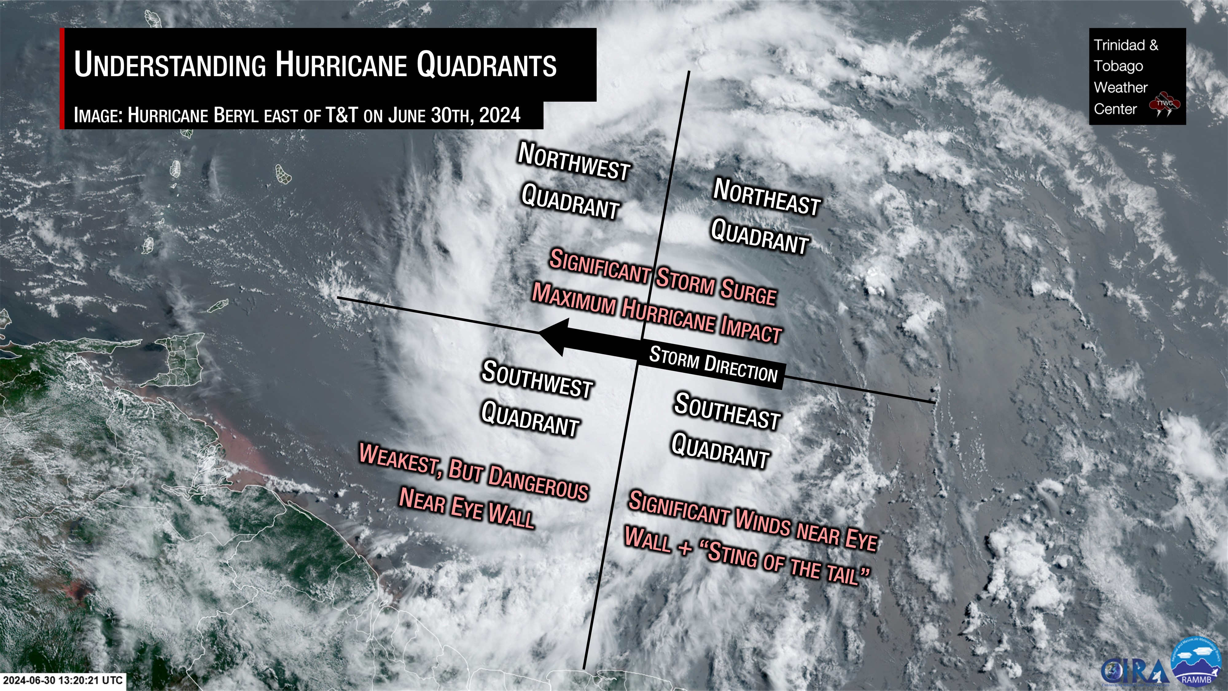
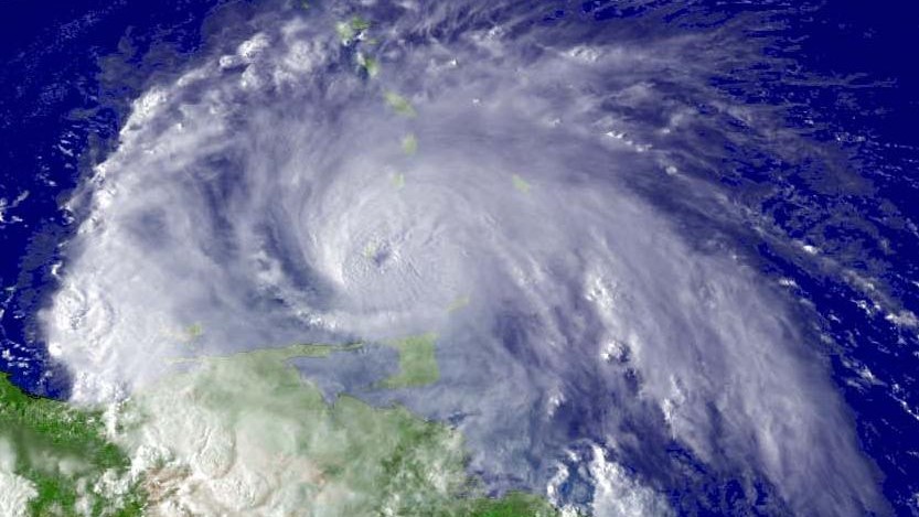
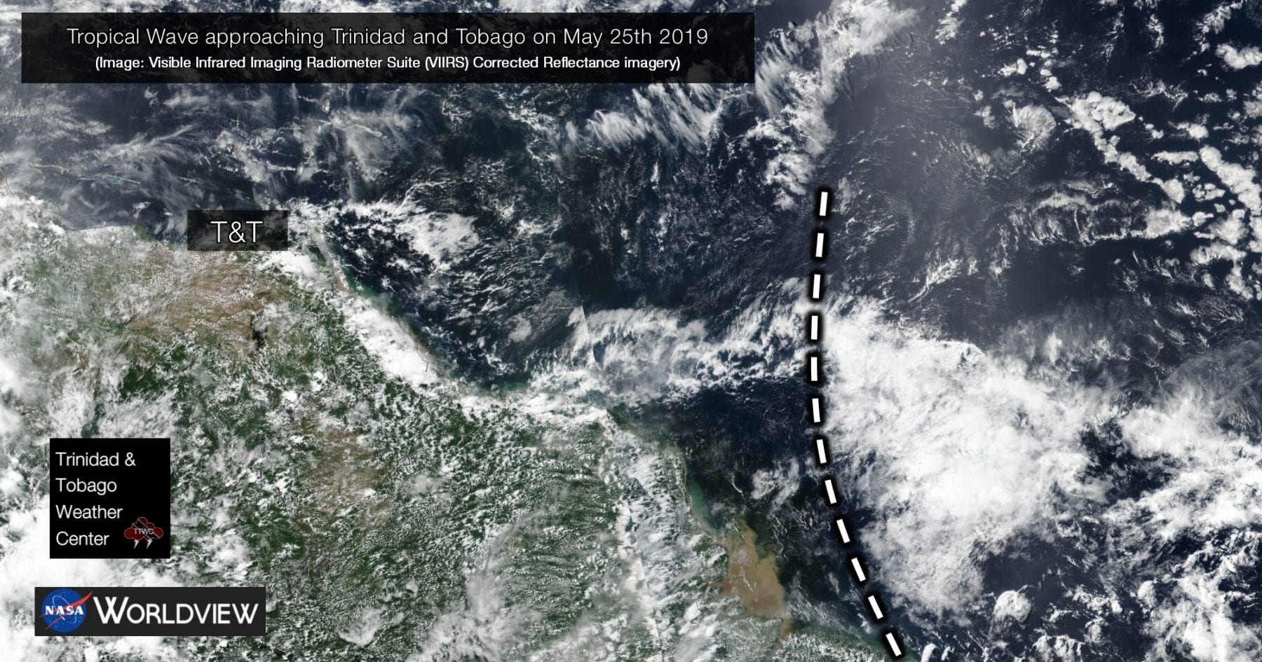
On a smaller scale, the ITCZ’s movement is dictated by the movement of high-pressure (pushing the ITCZ to the south) and low-pressure systems (pulling the ITCZ to the north). In the North Atlantic Ocean, these low pressures can be low-level troughs, tropical waves, and even tropical cyclones – tropical depressions, tropical storms, and hurricanes.
During the Hurricane Season, the ITCZ can lose its general band across the Atlantic due to interactions with tropical cyclones.
How does the ITCZ affect T&T?

The Intertropical Convergence Zone begins to affect T&T beginning in May (the first instance would trigger the start of the Wet Season) and periodically affects the region through the end of November. This feature is one of T&T’s main rainfall producers.
This band of low pressure brings increased moisture, which fuels overall cloudiness, showers, periods of rain, and thunderstorms. Since the ITCZ brings prolonged rainfall, ITCZ events tend to trigger multi-day rainfall that triggers street, flash, and, at times, riverine flooding. Landslides are also possible due to saturated soils. Frequent lightning and gusty winds are also a consequence of the ITCZ-thunderstorm activity.
With light, variable winds, conditions become favorable for funnel clouds, waterspouts, and even tornadoes, though rare.
Active vs Inactive ITCZ
The ITCZ can be active or inactive at any point of the wet season at any time of day.
An active ITCZ typically would coincide with lower pressures, favorable low-level convergence and upper-level divergence, low wind shear, and abundant atmospheric moisture.
An inactive ITCZ (or a gap within the ITCZ) is typically due to significant high-pressure ridging. This ridging forces the ITCZ southward but also inhibits the formation of showers and clouds. Unfavorable upper-level conditions (convergence), the presence of dense Saharan Dust, or a lack of atmospheric moisture, and increased wind shear can also cause these gaps.
Tropical waves usually move along the ITCZ. This interaction can also cause a suppressed ITCZ ahead of the tropical wave, but a more active ITCZ following the wave axis.
However, the ITCZ can rapidly transition between active and inactive, making it difficult to forecast. What is known is that the active phase favors the overnight and early-morning periods. This means we can wake up to a very ominous satellite image showing thunderstorms east of Trinidad and Tobago in the early morning, only for them to dissipate by late morning. Generally, overnight thunderstorm events in T&T are due to the ITCZ.
Based on research, the ITCZ in the Tropical Atlantic has its strongest activity occurring between 12:00 AM and 6:00 AM local time, with another peak during the Northern Hemisphere summer months between 12:00 PM and 3:00 PM. Minimum activity occurs between 5:00 PM and 8:00 PM. All times given are in local times.