


Winds are forecast to remain at moderate levels through the first half of the forecast period, elevating seas to moderate levels. The main hazard through the next seven days will be high-energy, long-period swells that are forecast to begin impacting Trinidad and Tobago’s coastlines from Monday afternoon.
Latest Alerts

Localized Flood Alert Discontinued For Trinidad
Trinidad and Tobago is NOT under any tropical storm or hurricane threat, watch, or warning at this time.
Seas Forecast For Trinidad and Tobago
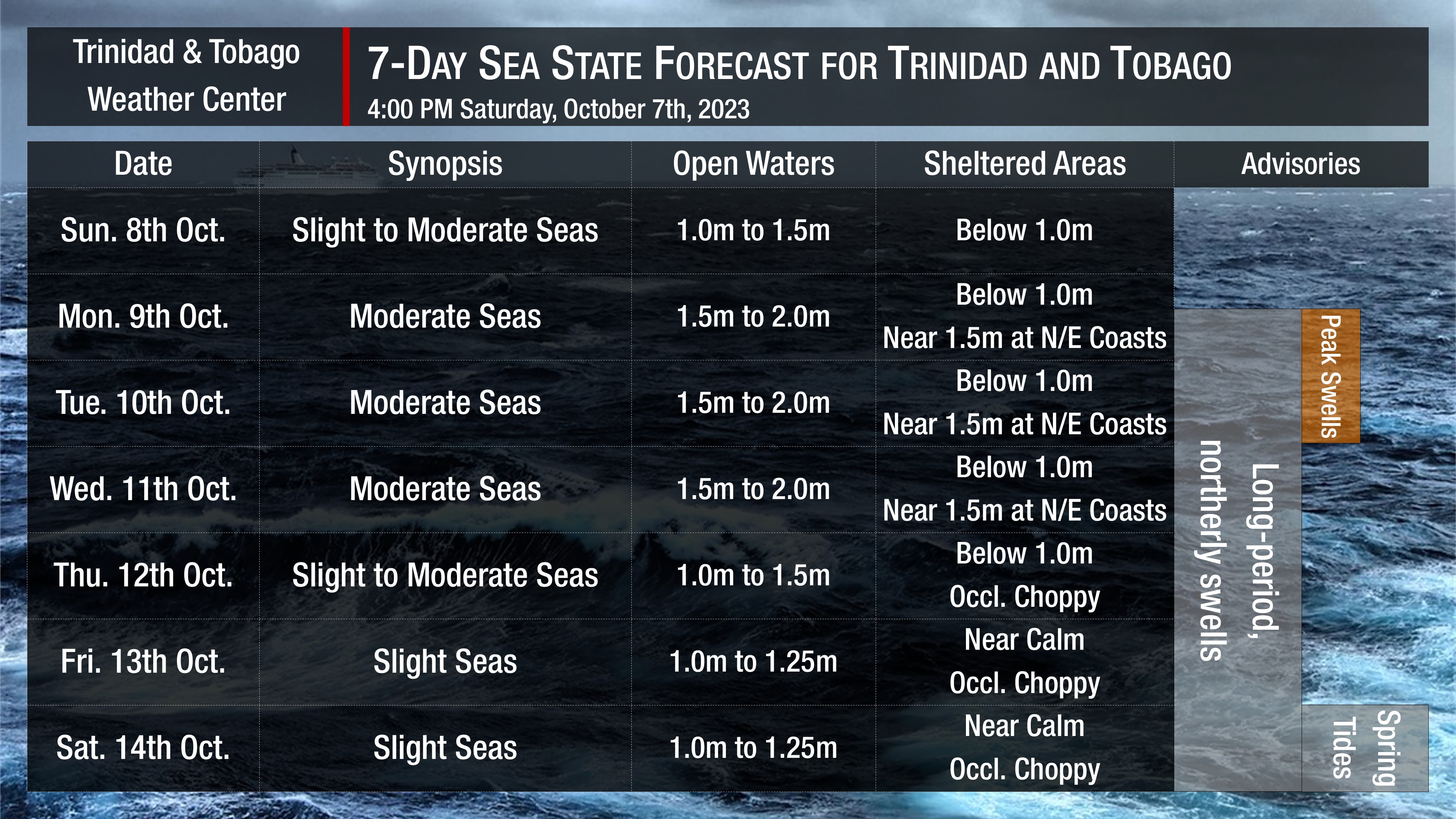
Saturday into Sunday: Seas are forecast to be slight to moderate in open waters with waves between 1.0 and 1.5 meters, while in sheltered areas, waves are forecast to be below 1.0 meters to near calm. However, with the odd heavy shower/thunderstorm, nearshore areas could become agitated. Swell periods are forecast to range between 6 to 10 seconds. Winds are forecast to range between 10 to 15 knots from southeast to east, gusting up to 20 knots near showers or thunderstorms.
Monday through Wednesday: Seas are forecast to be moderate in open waters with waves between 1.5 meters and 2.0 meters, while in sheltered areas, waves are forecast to be below 1.0 meters. However, swell periods are forecast to increase, ranging between 12 and 17 seconds. These long-period swells will create hazardous conditions along nearshore coastal areas of both Trinidad and Tobago, particularly northern and eastern areas, with peak swells on Monday afternoon into Tuesday morning and by Tuesday afternoon along western coasts. Winds are forecast to range between 10 to 15 knots from the east-northeast to the southeast, gusting up to 20 knots near showers or thunderstorms.
Thursday into Saturday: Seas are forecast to be generally slight to moderate in open waters, with waves between 1.0 and 1.5 meters as winds range between 5 to 10 knots from the east to southeast and gusts up to 15 knots in heavy showers and thunderstorms. In sheltered areas, waves are forecast to be generally below 1.0 meter initially, becoming calm into the weekend, but with the odd heavy shower/thunderstorm, seas can become locally choppy. Swell periods are forecast to remain 8 to 13 seconds, which may result in larger waves along eastern and northern coastal areas.
Possible Impacts
Saharan Dust concentrations are forecast to increase from late October 6th, 2023, leading to a marginal reduction in visibility through the upcoming weekend.
Longer period swells are explicitly forecast from Monday, which will result in larger than usual waves along the northern coastlines of both islands initially, then affecting western coastal areas by Tuesday. Mariners and beachgoers should follow advice from lifeguards and exercise caution. This long-period swell event is forecast to continue through the end of next week.
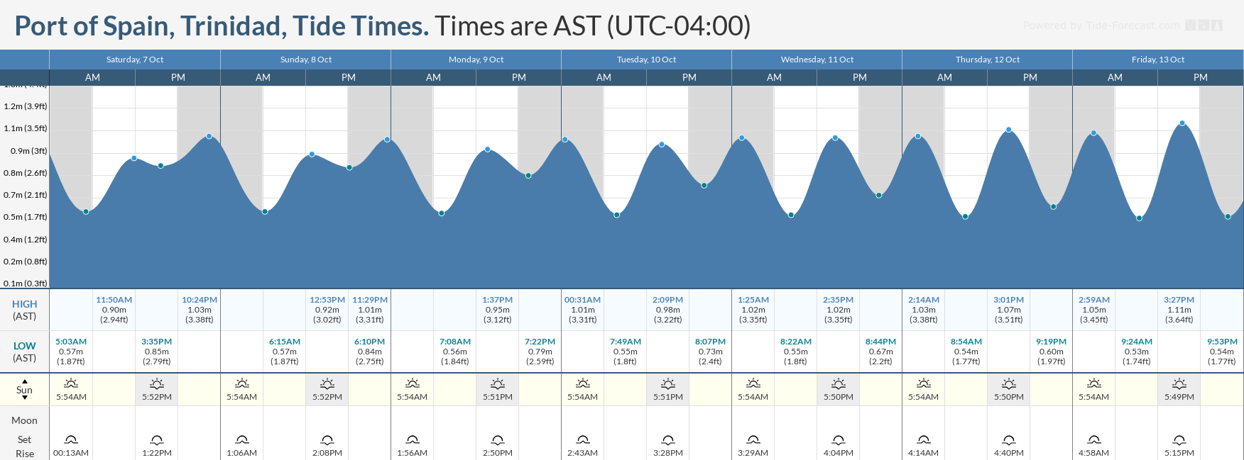
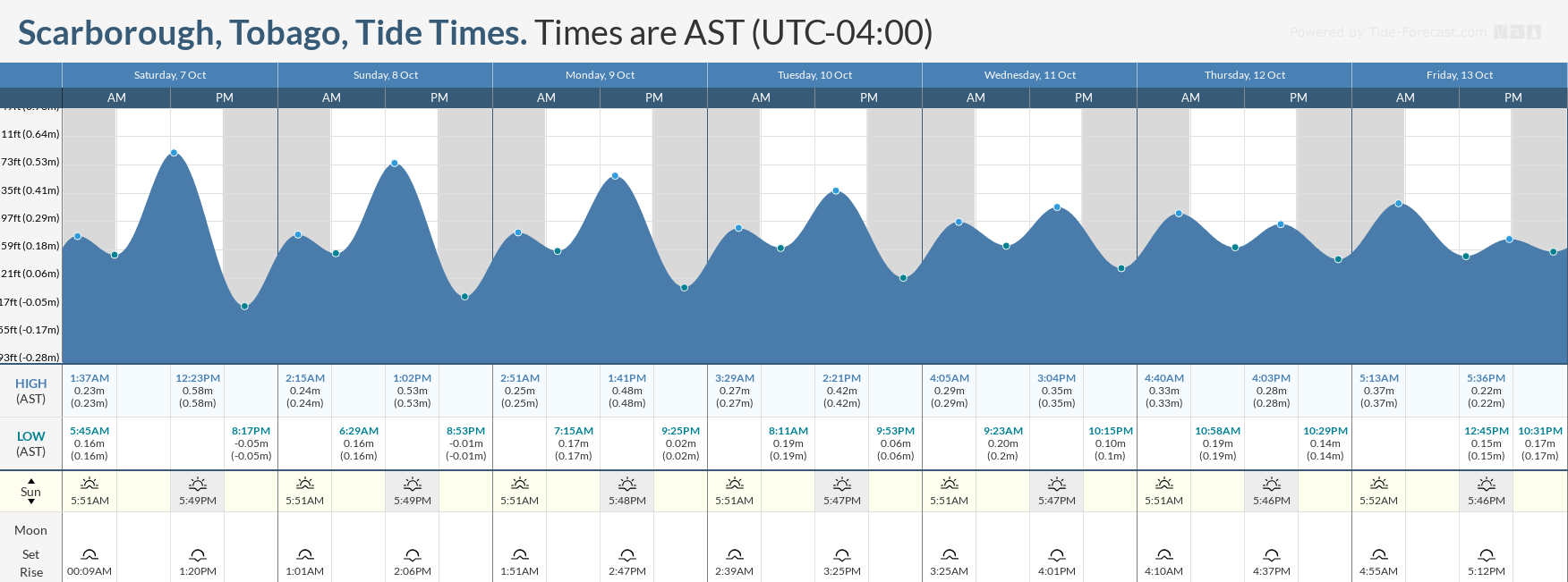
Spring tides, which mean higher than usual high tides and lower than usual low tides, are forecast to begin by Wednesday, October 11th, 2023. Combined with the forecast long-period swell event, spring tides may create potentially hazardous conditions for marine interests during peak high tide periods.
With both of these hazards present through the forecast period, rip currents also pose a threat, particularly on the northern and eastern beaches of both islands.


