


Seas are forecast to generally remain slight across Trinidad and Tobago through the next five days. By the weekend, a combination of spring tides and long-period swells are forecast to agitate seas, particularly in sheltered and nearshore areas of T&T’s northern and eastern coastlines.
There are no sea-based alerts, watches, or warnings from the Trinidad and Tobago Meteorological Service for Trinidad and Tobago at this time.
Seas Forecast For Trinidad and Tobago
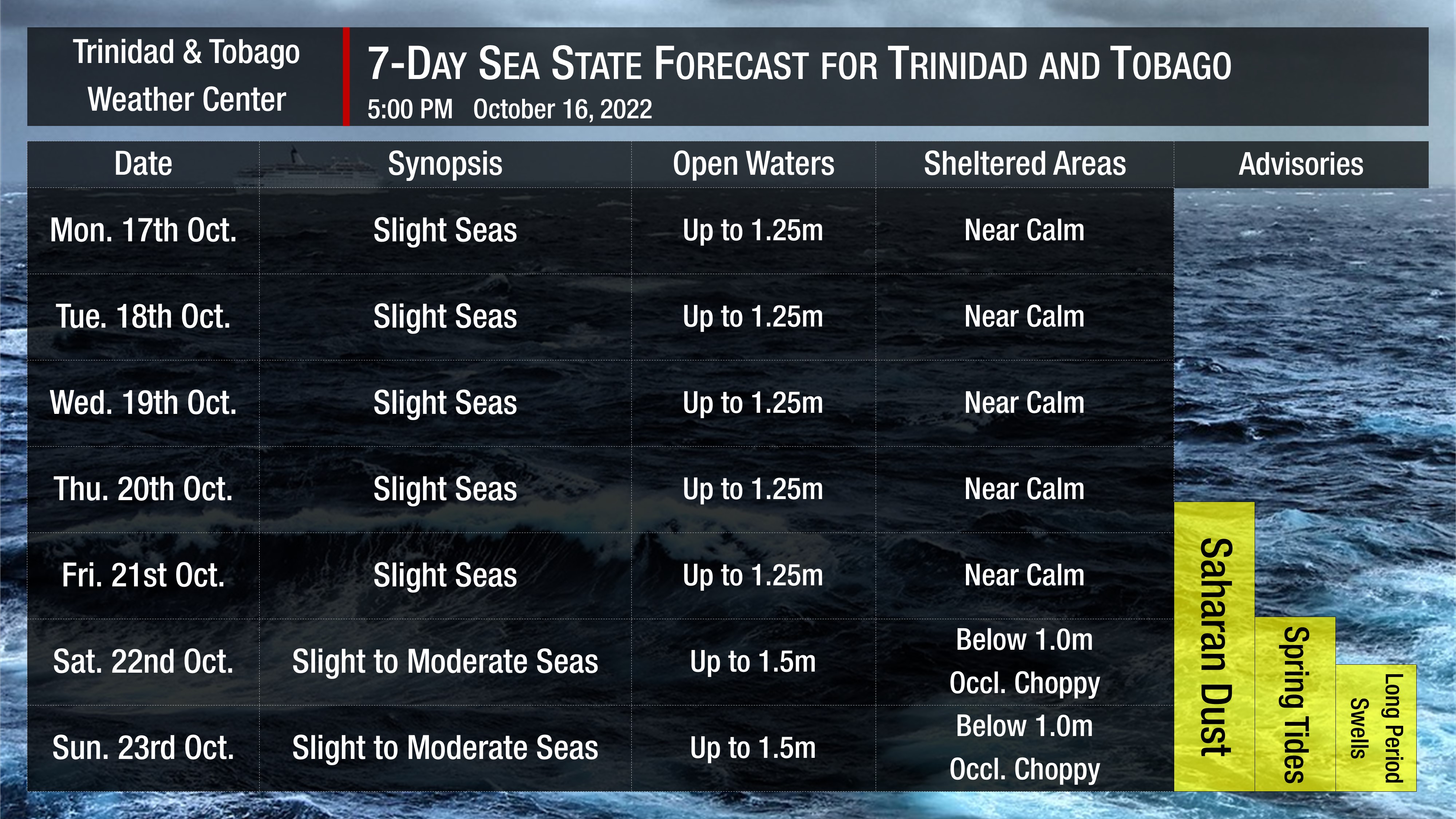
Through the next five days, seas in open waters are forecast to be slight, with waves up to 1.25 meters generally. In sheltered areas, waves are forecast to be near calm, with occasionally choppy conditions in heavy showers or thunderstorm activity, mainly in the Gulf of Paria.
By Saturday, as low-level winds marginally increase, seas in open waters become slight to moderate, with waves up to 1.5 meters and below 1.0 meter in sheltered areas. While winds will not agitate seas in sheltered areas, larger than usual waves are forecast along the country’s northern and eastern coastlines (predominantly) due to long-period swells from Saturday evening.
Through the week, swell periods are forecast to generally be less than eight seconds. Long-period swells (> 11-second period) are forecast from Saturday evening with swell periods up to 16 seconds, mainly from the north-northeast to the northeast. These swells are forecast to gradually subside by next Wednesday.
Winds are forecast to be gentle to moderate, with sustained winds between 5 to 15 knots from the east-northeast to east-southeast generally through the forecast period. Gusts may occasionally exceed 20 knots in the vicinity of heavy showers or thunderstorms.
Possible Impacts
Through Friday, little to no impacts to mariners and beachgoers are forecast outside of a moderate surge of Saharan Dust, marginally reducing visibility and air quality across Trinidad and Tobago, mainly from Thursday.
From late Saturday and into next week, long-period swells are forecast. Swells with longer periods produce larger waves along the coastline, which can be battering and cause the following:
- Loss of life;
- Injuries;
- Coastal erosion;
- Localized disruptions of businesses;
- Damage or loss of boats and fishing equipment;
- Disruptions to marine recreation and businesses
- Economic losses.
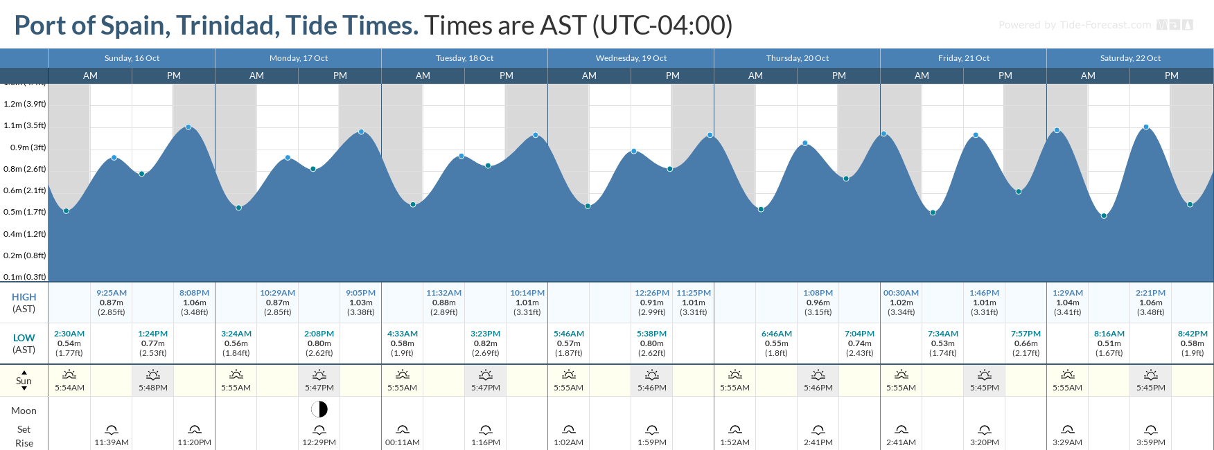
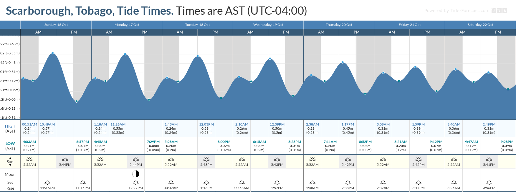
With a new moon on October 25th, spring tides are forecast to begin on October 22nd, 2022. These are higher than usual high tides and lower than usual low tides which may increase the risk of rip currents, particularly with the presence of higher energy waves due to long-period swells over the weekend. Rip currents are strong currents perpendicular to the shoreline that can carry even the strongest swimmers out to sea.
How to spot a rip current

Rip Currents
High surfs can knock spectators off exposed rocks and jetties. Breaking waves may occasionally impact harbors making navigating the harbor channel dangerous.
Saltwater may splash onto low-lying coastal roads such as Pigeon Point Road, the Guayaguayare Mayaro Road at the Guayaguayare Sea Wall, and the Manzanilla-Mayaro Road. Bays and beaches may temporarily become inundated.
Coral reefs may experience increased stress and damage, in addition to localized beach erosion, particularly in areas where battering waves focus.


