


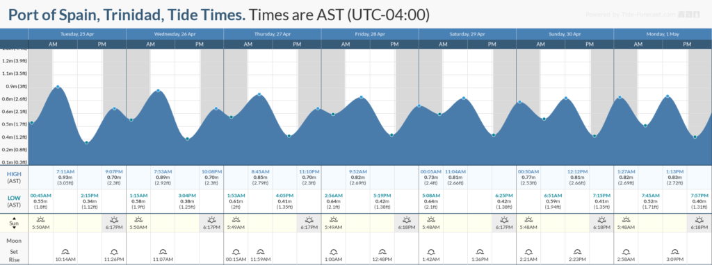
Winds are forecast to remain light to gentle this week, resulting in reduced wave heights both in open waters and sheltered areas. There are no long-period swells, elevated winds, or Spring Tides this week, but with occasional thunderstorm activity, seas can become briefly and locally agitated.
Latest Alerts

Adverse Weather Alert Discontinued. Heavy Rainfall Still Possible
Trinidad and Tobago is NOT under any tropical storm or hurricane threat, watch, or warning at this time.
Seas Forecast For Trinidad and Tobago

On Tuesday and into the first half of this week, a slack pressure gradient will remain in place, resulting in light to gentle winds and slight seas with waves up to 1.5 meters. By Thursday through the remainder of the forecast period, seas are forecast to become more moderate with waves in open waters ranging between 1.25 meters and 1.5 meters.
Over the next four days, winds are forecast to range between 5 and 10 knots, gusting to 15 knots, generally from the south to northeast, with higher gusts possible in heavy showers or thunderstorms. On Monday, though the prevailing direction will be generally from the east, variable winds are forecast throughout the day, with westerly and southerly winds possible during the afternoon
Seas in sheltered areas remain calm to near calm through the forecast period. However, with the possibility of heavy showers and/or thunderstorms through Thursday, locally choppy seas are possible in the vicinity of this activity.
Swell periods are forecast to range between 6 and 9 seconds through Thursday, getting up to 12 seconds between late Thursday into the weekend.

Possible Impacts
Saharan Dust concentrations are forecast to remain elevated from Thursday, but with mild to moderate concentrations, visibility is forecast to remain mostly unaffected.
Though there are no apparent marine hazards, rip currents will still be present along the nation’s coastlines. Rip currents are strong currents perpendicular to the shoreline that can carry even the strongest swimmers out to sea. These currents account for most nearshore rescues and have claimed several lives in the recent past.


