Long-period swells originating from powerful low-pressure systems in the North Atlantic are now moving across the Lesser Antilles, forecast to begin affecting Trinidad and Tobago from Friday afternoon. These high-energy waves have been affecting the country since December 9th, 2022.
However, with longer period swells, larger and more impactful waves are now forecast to affect the country, with severe impacts likely. This is the first-ever Orange-Level Hazardous Seas Alert issued by the Trinidad and Tobago Meteorological Service since the start of the color-coded Multi-Hazard Early Warning System’s debut in 2018.
What you need to know
— What is happening: Beginning Friday afternoon, swells with periods of up to 19 seconds are forecast to affect Trinidad and Tobago’s northern coastlines. Over the next seven days, swells are forecast to continue, eventually affecting sheltered, north-facing coastlines of Trinidad in the Gulf of Paria.
— What can we expect: Large, battering waves along T&T’s northern coastlines with wave heights up to 3.5 meters (11.5 feet), with choppy conditions in sheltered areas. Moderate to significant coastal erosion is likely. There is a very high risk of dangerous rip currents along the country’s northern coastlines. Spring Tides end on Monday, December 26th, 2022, with the overall sea state in open waters rough through the alert period.
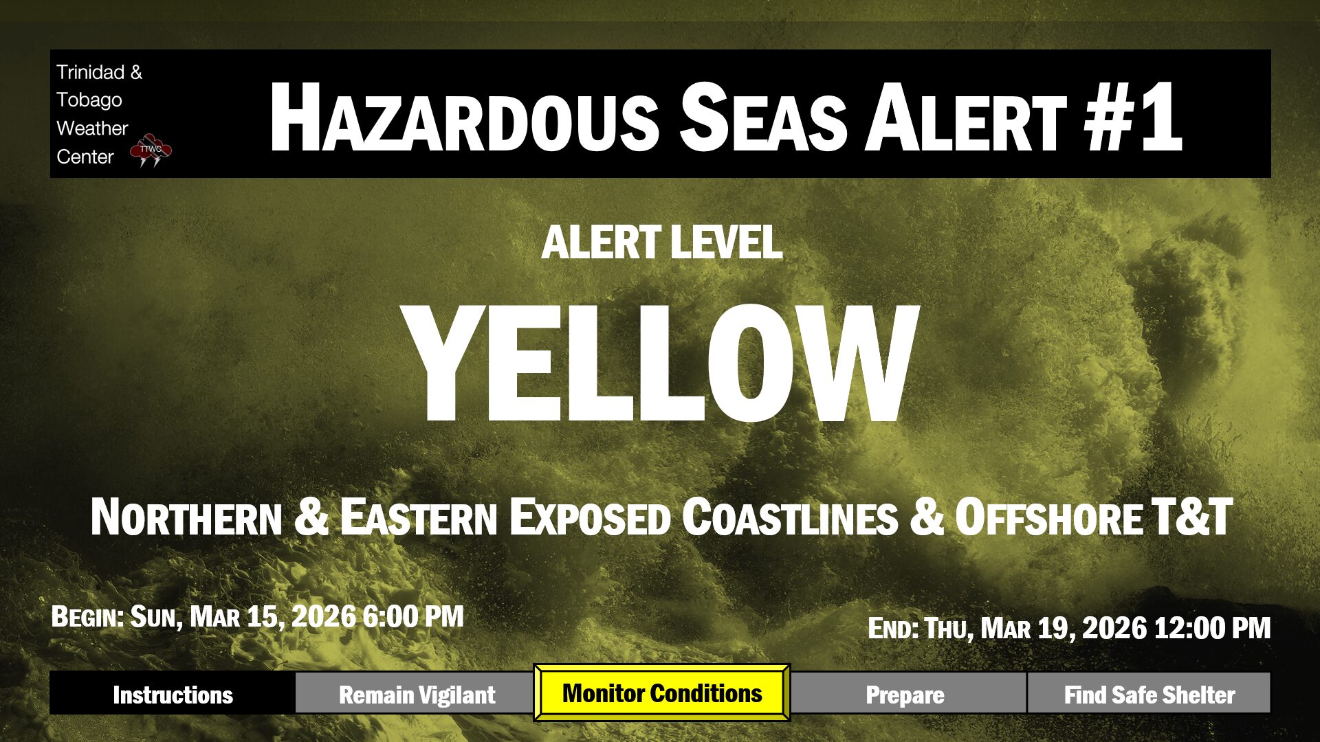
Latest Alert

Hazardous Seas Alert Remain In Effect For T&T: 3.0m Open-Water Waves Observed
Trinidad and Tobago is NOT under any tropical storm or hurricane threat, watch, or warning at this time.
Live Updates
Be our eyes and ears on the ground and in the open as large waves affect the region! Let of know of your experience and if it is safe, capture a picture or video and send it to us on our social media platforms: Facebook, Twitter, Instagram, or WhatsApp. Live updates will be updated automatically.