Heavy showers and thunderstorms are forecast to continue across Trinidad and Tobago over the next five days. Flooding rainfall will primarily be associated with the Intertropical Convergence Zone and favorable large-scale atmospheric features.
What you need to know
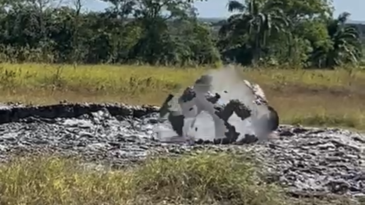
— What has happened: Over the last six days, T&T has experienced periods of flooding rainfall, sending tributaries and multiple rivers across Trinidad to break their banks. There have been over 300 inclement weather reports across both islands comprising of fallen trees, wind damage, flooding, landslides, and collapsed homes.
— What can you expect: The ITCZ is forecast to produce intervals of showers, and periods of rain are forecast through the next five days, with scattered thunderstorms. Overall heavier rainfall is forecast to favor the eastern and southern halves of Trinidad as well as Tobago. Street and flash flooding is expected, with riverine flooding likely, mainly smaller water courses and tributaries to major rivers. Gusty winds up to and in excess of 50 KM/H accompanying heavy showers or thunderstorms are likely, with gusts up to or above 55 KM/H possible, accompanying thunderstorms and heavy showers. Lightning will accompany thunderstorms. Landslides, mudslides, and rockfalls are likely across Tobago and elevated areas of Trinidad.
Latest Alerts

Flooding Continues To Subside As Riverine Flood Alert Discontinued

Adverse Weather Alert Discontinued For T&T
Live Updates
Be our eyes and ears on the ground and in the open as inclement weather affects the region! Let of know of your experience and if it is safe, capture a picture or video and send it to us on our social media platforms: Facebook, Twitter, Instagram, or WhatsApp. Live updates will be updated automatically.