


There are three tropical waves between Trinidad and Tobago and the African Coast, two of which are forecast to move across the region over the next seven days. However, there are no areas expected to develop in the Atlantic at this time.
What you need to know
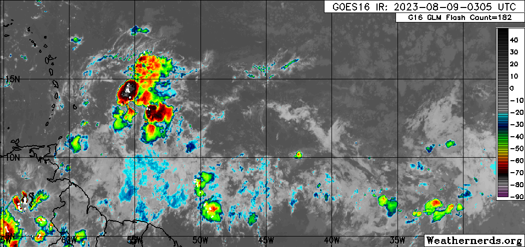
— Tropical Wave 32: The axis of this tropical wave is located between 55W and 57W, moving west at 15-20 knots (27-37 KM/H). This wave is forecast to move across T&T and the Windwards on Wednesday night into Thursday, keeping the Intertropical Convergence Zone (ITCZ) generally across and north of the country.
— Tropical Wave 33: The axis of this tropical wave is located at 34W, moving west at 15-20 knots (27-37 KM/H). This wave is forecast to move across T&T and the Windwards on Sunday, August 13th, 2023.
— Tropical Wave 34: This tropical wave has just moved off the African Coast, located along 21W moving slowly at 5-10 knots. This wave is forecast to drift slowly westward, with a larger and more robust wave merging with it over the weekend into next week.
— Hazards: For Trinidad and Tobago, scattered showers and isolated thunderstorms are forecast, particularly on Wednesday and Thursday. Street/flash flooding is likely in heavy downpours, with the threat of gusty winds elevated, particularly on Thursday. Overall total rainfall accumulations are not forecast to be extreme, likely due to the concentrations of Saharan Dust that are forecast to be present, but in isolated areas, locally high rainfall totals are possible. See the forecast for more information.
— Development Concerns: Elsewhere across the Atlantic, tropical cyclone development is not expected, according to the National Hurricane Center.
Tropical Wave 32
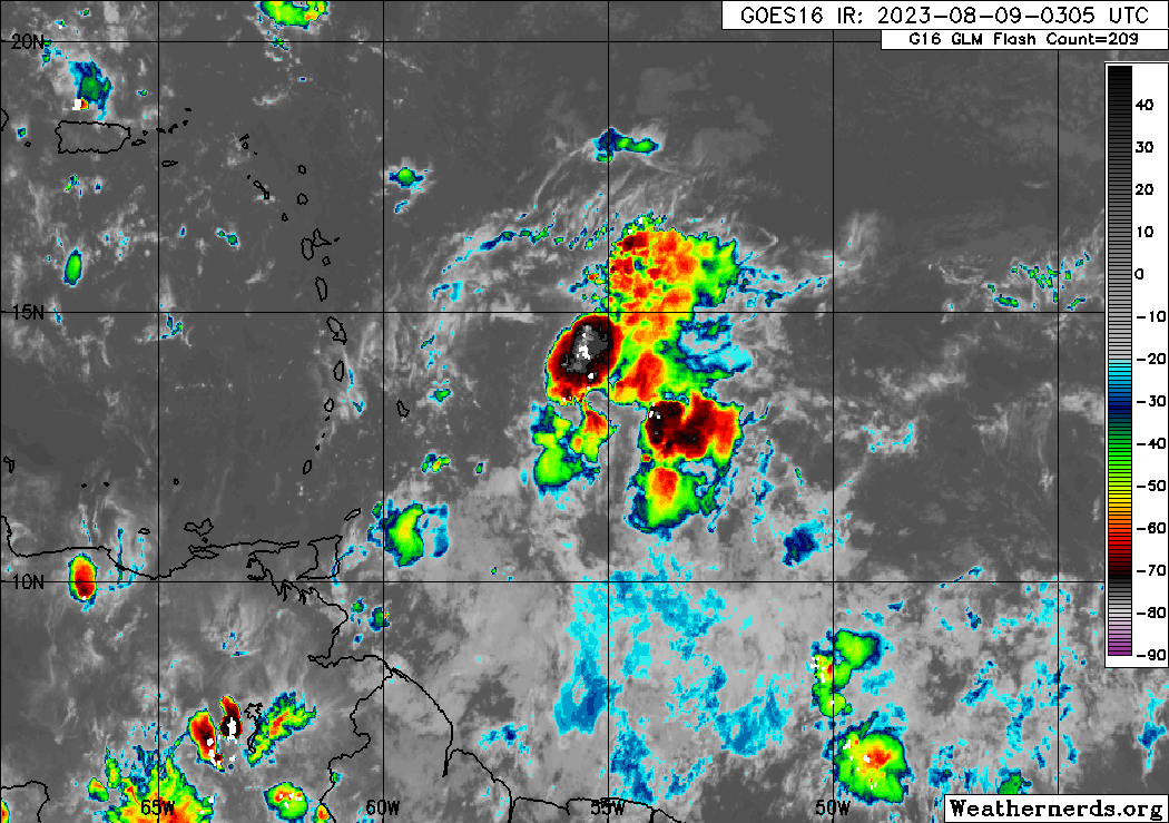
The 32nd tropical wave for the 2023 Atlantic Hurricane season was analyzed between 55W and 57W, moving west at 15 to 20 knots (27 to 37 KM/H), generally south of 19N.
On Wednesday morning, wind shear across the northern portion of the wave was moderate to strong, while across the southern half of the axis, wind shear was moderate to weak. This wave brings with it an abundant amount of deep tropical moisture, with a favorable upper-level environment mainly east of 55W.
Trailing the wave is a surface to a mid-level trough, and some mid-level convergence is forecast to also affect the Windwards, including T&T, into Thursday, with relatively favorable upper-level conditions as an upper-level trough becomes favorably positioned. There is the potential for strong wind gusts, particularly on Wednesday night into Thursday afternoon, in heavy showers and heavy thunderstorms, with an area of winds ranging between 30 to 55 KM/H trailing the wave axis.
Given this wave is interacting with the ITCZ, peak inclement weather conditions are likely during the predawn and early afternoon hours, associated with peak activity of the ITCZ. However, much of the more intense convection is forecast to remain north of T&T.
Tropical Wave 33
The 33rd tropical wave for 2023 is located along 34W, moving west at 15-20 knots (27-37 KM/H), and is forecast to move across the Lesser Antilles on Sunday, August 13th, 2023 but with dense Saharan Dust nearby, no significant rainfall is forecast across the region. Trailing this wave is a large plume of Saharan Dust that will keep conditions relatively dry and dusty through next week.
Tropical Wave 34

The 34th tropical wave for 2023 is located along 21W, moving west at a snail’s pace of 5-10 knots (9-18 KM/H).
This tropical wave, based on longer-range forecast models, is not forecast to reach the Lesser Antilles on its own. In fact, a larger and more robust tropical wave that is yet to move off the African Coast is forecast to catch up and absorb this wave’s moisture and signature in the Atlantic between August 13th and August 14th, with the eventual tropical wave making it to 60W, where much of the Lesser Antilles is located, by August 17th.
Given how longer range this forecast is, there is high uncertainty. However, significant dry air and Saharan Dust will be present in the Atlantic ahead of TW34, so development is not forecast.
Not Every Tropical Wave Brings Severe Weather
Tropical waves vary in intensity as it travels westward across the Atlantic. This variability can be on the order of days to as short term as hours. Sometimes, you may see satellite imagery that shows heavy thunderstorms and deep convective activity east of Trinidad and Tobago during the late night and early morning, but by daybreak – nothing.
This is due to diurnal (daily) variations in convective showers whereby convection peaks overnight and wanes during the day for already occurring convective systems (i.e., not triggered by daytime heating).
Activity can be enhanced by its proximity to upper-level troughs and the ITCZ but can also be degraded by hostile upper-level conditions and Saharan Dust.
As we progress through August, tropical waves are forecast to gradually gain latitude with much of the stronger connection and elevated winds remaining north of T&T, but they can bring the ITCZ north and across the Windward Islands.


