


Through the weekend, as a sprawling and complex low-pressure system develops across the Greater Antilles, winds across T&T are forecast to be light and variable, leading to slight seas. By next week, winds are forecast to increase, agitating seas, with spring tides beginning yet again.
There are no marine alerts, watches, or warnings from the Trinidad and Tobago Meteorological Service for Trinidad and Tobago at this time.
Seas Forecast For Trinidad and Tobago
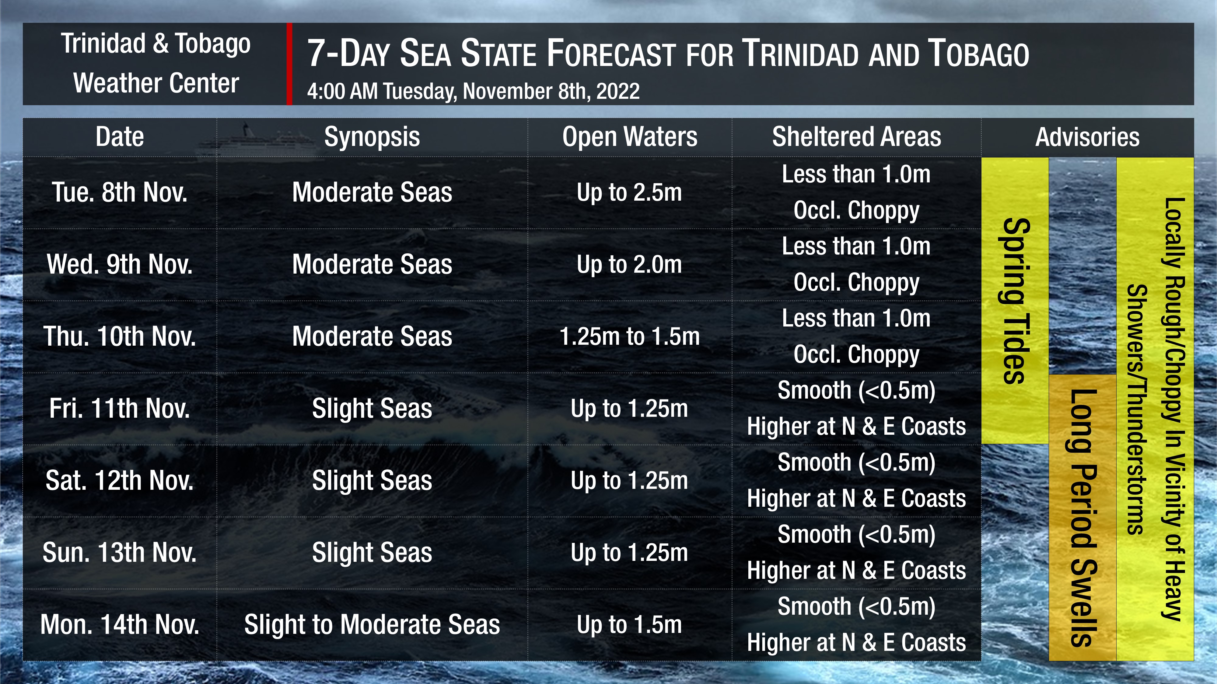
On Tuesday into Wednesday, winds continue to remain elevated between 10-20 knots, gusting to 25 knots, generally coming in from the southeast to east. These winds have agitated seas in open waters and will continue to do so through the next 48 hours, with waves in open waters up to 2.5 meters on Tuesday and 2.0 meters on Wednesday. Seas in sheltered areas remain less than 1.0 meter but choppy due to forecast shower and thunderstorm activity.
By Thursday, winds begin to greatly subside and remain gentle to, at times, near calm into the weekend, leading to a drop off in seas. Waves in open waters are forecast to be slight, up to 1.25 meters. In sheltered areas, seas will remain agitated due to long-period swells arriving from the north from Friday, with swell periods between 11 and 14 seconds through next Tuesday. These longer-period swells produce larger, battering waves along nearshore areas. Longer-range modelling suggests an increase in swell periods during the second half of next week. Mariners will need to exercise caution.
Possible Impacts
No significant Saharan Dust is forecast across Trinidad and Tobago over the next week, with no major impacts to visibility and air quality.
From Friday, long-period swells are forecast. Swells with longer periods produce larger waves along the coastline, which can be battering and cause the following:
- Loss of life;
- Injuries;
- Coastal erosion;
- Localized disruptions of businesses;
- Damage or loss of boats and fishing equipment;
- Disruptions to marine recreation and businesses
- Economic losses.
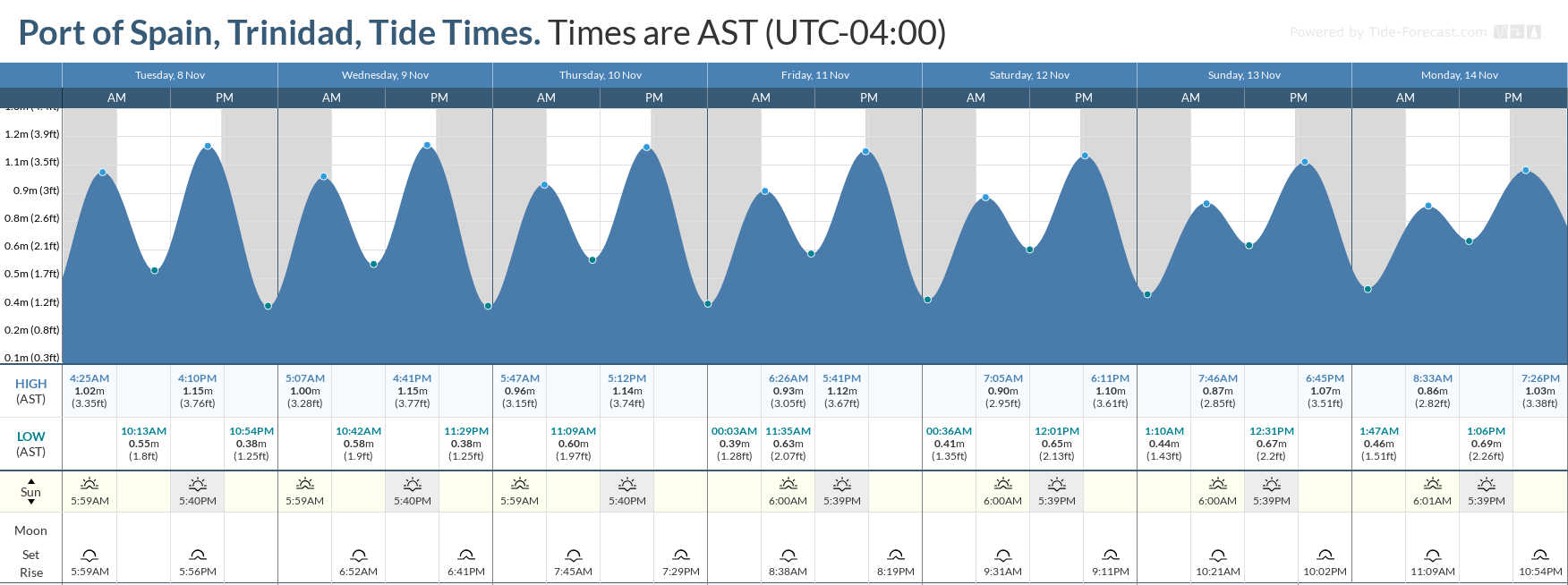
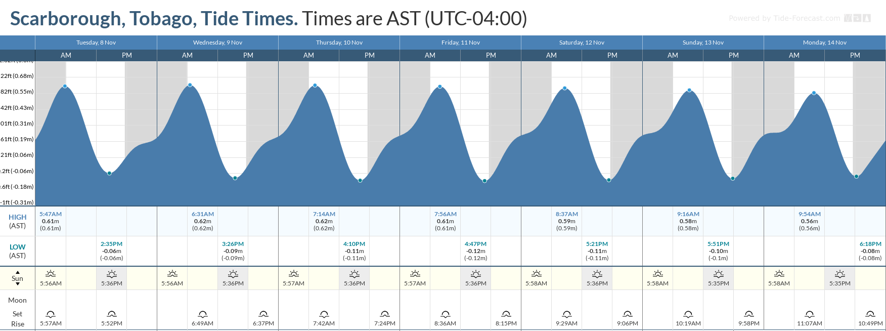
Spring tides Tuesday through Friday and the presence of higher energy waves due to long-period swells will increase the rip current threat, particularly long eastern and northern coastlines. Rip currents are strong currents perpendicular to the shoreline that can carry even the strongest swimmers out to sea.


