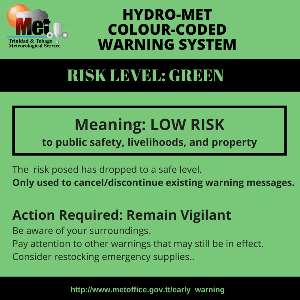
The Trinidad and Tobago Meteorological Service (TTMS) has discontinued the Localized Flood Alert for Trinidad and Tobago as watercourses are declining.
What you need to know
— What has happened: Heavy showers and thunderstorms produced high rainfall accumulations over the last 48 hours, sending minor and major watercourses towards threshold levels, but have declined for the last several hours.
— What to expect: Isolated heavy showers and thunderstorms may still produce localized areas of street or flash flooding, but rainfall chances have declined from today through Friday across Trinidad and Tobago.
Latest Alerts
TTMS Issues Adverse Weather Alert For T&T
Trinidad and Tobago is NOT under any tropical storm or hurricane threat, watch, or warning at this time.
The Localized Flood Alert
Hours The Trinidad and Tobago Meteorological Service discontinued the Adverse Weather Alert (Yellow Level) on Wednesday at 8:51 AM.
Trinidad and Tobago is not under any tropical storm watch or warning.
The TTMS states, “Water channels have largely returned to normal levels, and localized ponding has reduced in most areas. Isolated areas can still experience street flooding and ponding in the vicinity of heavy afternoon showers and thunderstorms.” This “alert” status considers the possibility of the event ending, with the certainty at its highest, expected or observed.

The alert’s color indicates the event’s severity and probability of the event occurring. Currently, the alert level is at Green, as the discontinuation was issued, with certainty at very likely/observed, and according to the TTMS, impacts are expected to be minor.
According to the TTMS, there is a low risk to public safety, livelihoods, and property at this level.
The Met Office advises the public to remain vigilant to changing weather conditions in their vicinity and not wade or drive through flood waters.


