


What you need to know
— What’s happening: Over the next seven days, low-level winds are forecast to be generally light, leading to slight to moderate seas in open waters and waves below 1.0 meters in sheltered areas. However, spring tides are set to continue through the end of this week, with choppy seas likely in heavy showers and thunderstorms.
— Impacts: Choppy seas, caused by elevated winds in showers and thunderstorms, can be hazardous to smaller marine vessels, making operations difficult due to the large waves. Spring tides, leading to higher-than-usual high tides and lower-than-usual low tides, are also forecast.
— What Should You Do: Inexperienced mariners should avoid navigating in hazardous conditions, especially those operating smaller vessels during heavy showers and thunderstorms. If you intend to go into the water, it is recommended that you use beaches with lifeguards on duty.
Latest Alert
There are no alerts, watches, or warnings in effect for Trinidad and Tobago from the Trinidad and Tobago Meteorological Service at this time.
Trinidad and Tobago is NOT under any tropical storm or hurricane threat, watch, or warning at this time.
Seas Forecast For Trinidad and Tobago
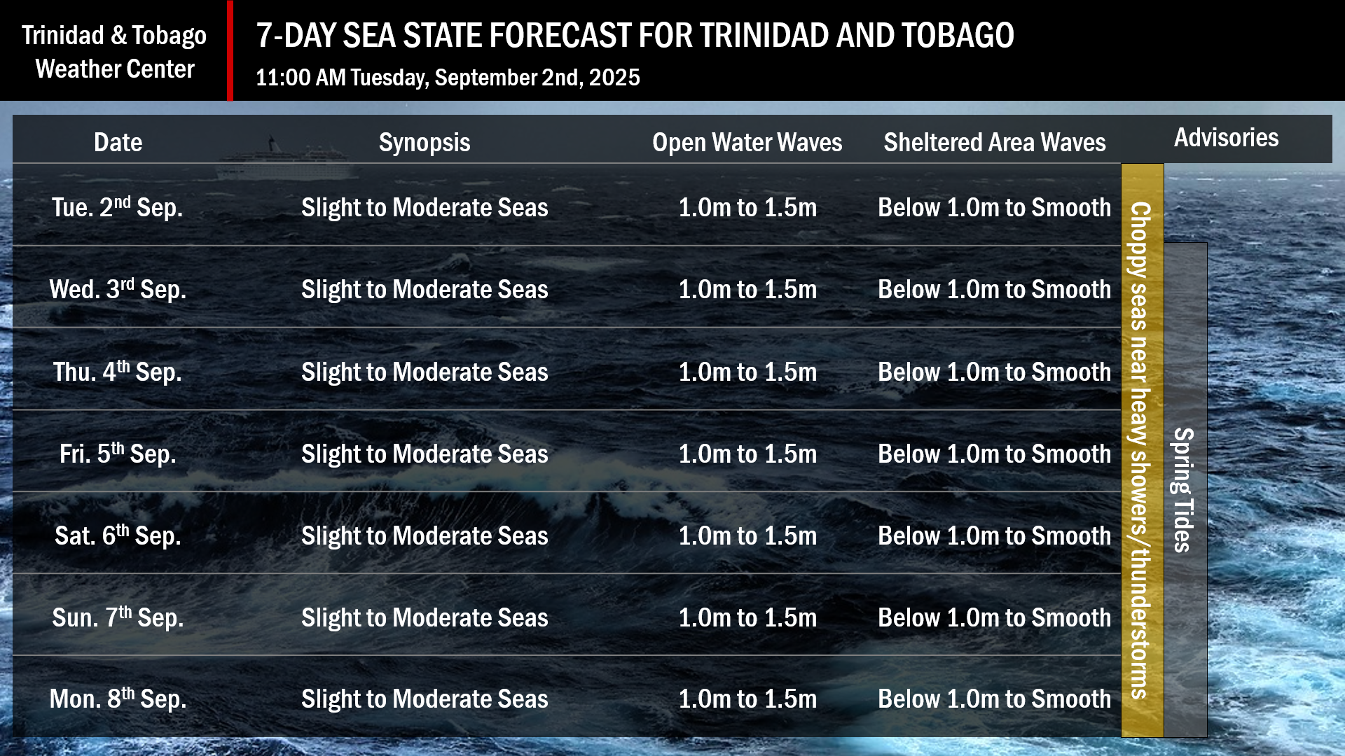
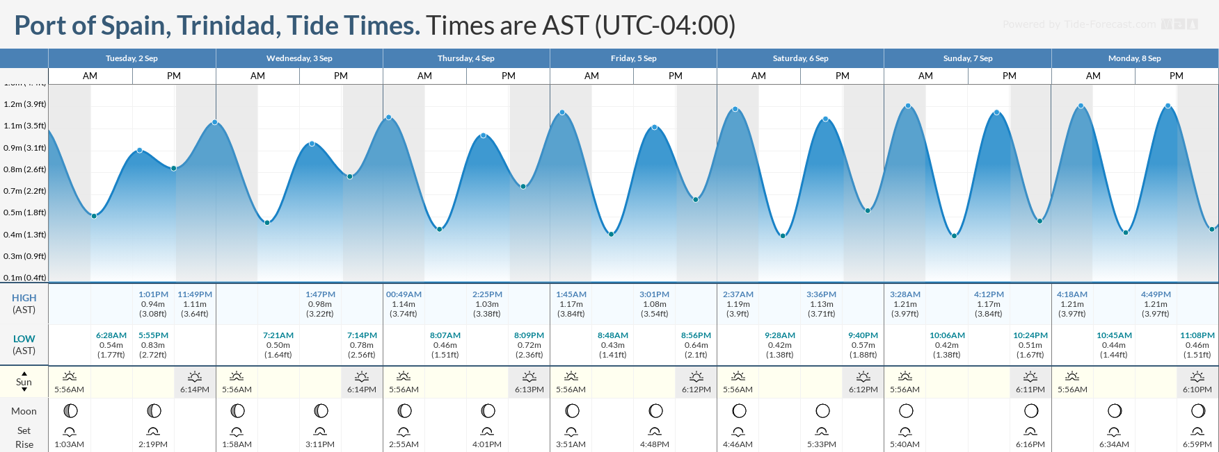
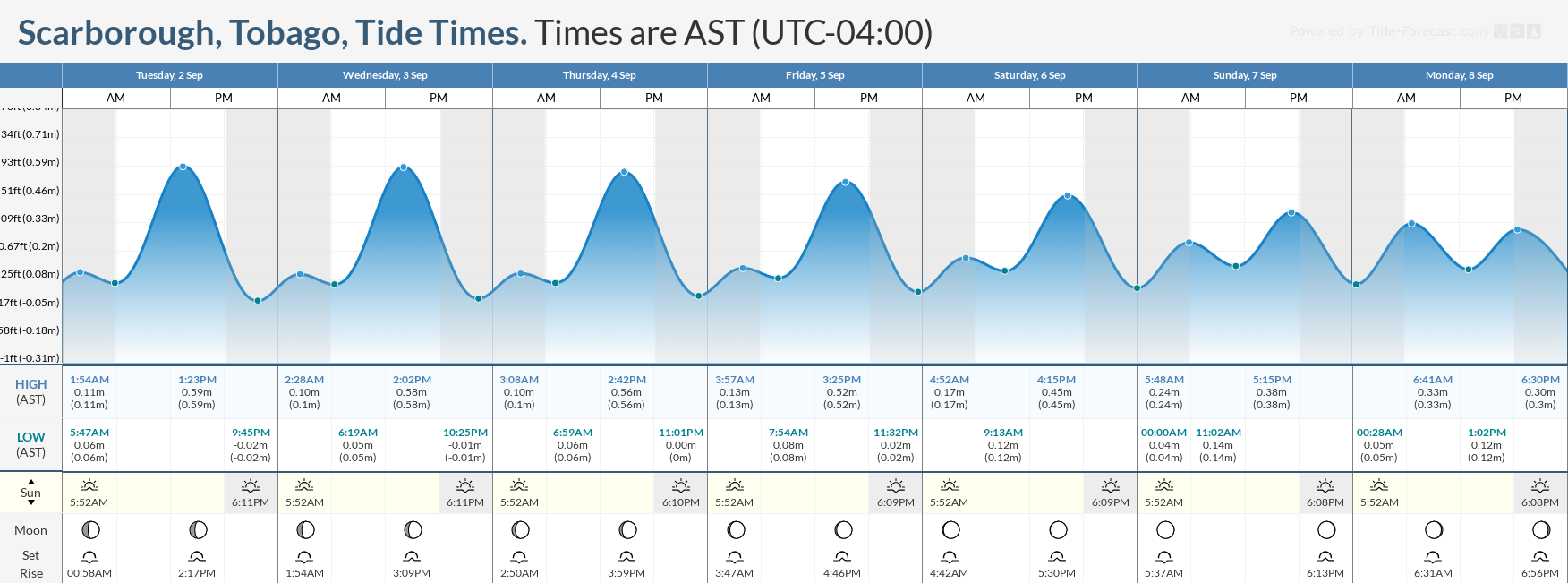
Over the next seven days, Spring tides are forecast.
September 2nd through September 9th: Winds are forecast to range between 5 and 15 knots from the southeast to northeast. Wind gusts up to 25 knots are possible in heavy showers and thunderstorms. Seas in open waters are forecast to be slight to moderate, with waves between 1.0 and 1.5 meters, while in sheltered areas, waves are forecast to remain below 1.0 meters. Occasionally choppy conditions are likely in heavy showers and thunderstorms.
What should you do
All marine interests should practice common-sense safety. Small craft operators should seek safe harbor during heavy showers and thunderstorms. Inexperienced mariners, especially those operating smaller vessels, should avoid navigating in hazardous conditions. Inexperienced swimmers, if intending to go into the water, should use beaches with lifeguards on duty.
Westerly afternoon winds, combined with downdrafts from heavy showers and thunderstorms, will lead to choppy seas in the Gulf of Paria and larger-than-usual waves, particularly along south- and west-facing coastlines. Mariners should generally exercise caution during heavy showers or thunderstorms, as seas may become locally rough or choppy in their vicinity, particularly due to gusty winds.
Rip currents always pose a hazard on the nation’s beaches. If caught in a rip current, swim perpendicular to the current, parallel to the shore.
With spring tides through the forecast period, mariners, especially small craft operators, should ensure their vessels are securely anchored or docked, as choppy or breaking wave conditions may drag the vessel onto the ocean floor or reefs in shallow waters, or even break the anchorage or mooring.


