


Wind speeds are expected to decrease over the next 24 hours, resulting in lower-than-usual wave heights in both open waters and sheltered areas.
Showers and isolated thunderstorms are likely to move from the northeast to southwest overnight on Saturday and continue through Sunday morning, then from the south/southeast to the north on Sunday afternoon into Monday morning. As a result, southerly swells are likely to create choppy conditions on south-facing coastlines, resulting in larger-than-usual waves along south-facing and possibly west-facing coastlines of the Gulf of Paria due to the movement of showers and thunderstorms that may develop.
What you need to know
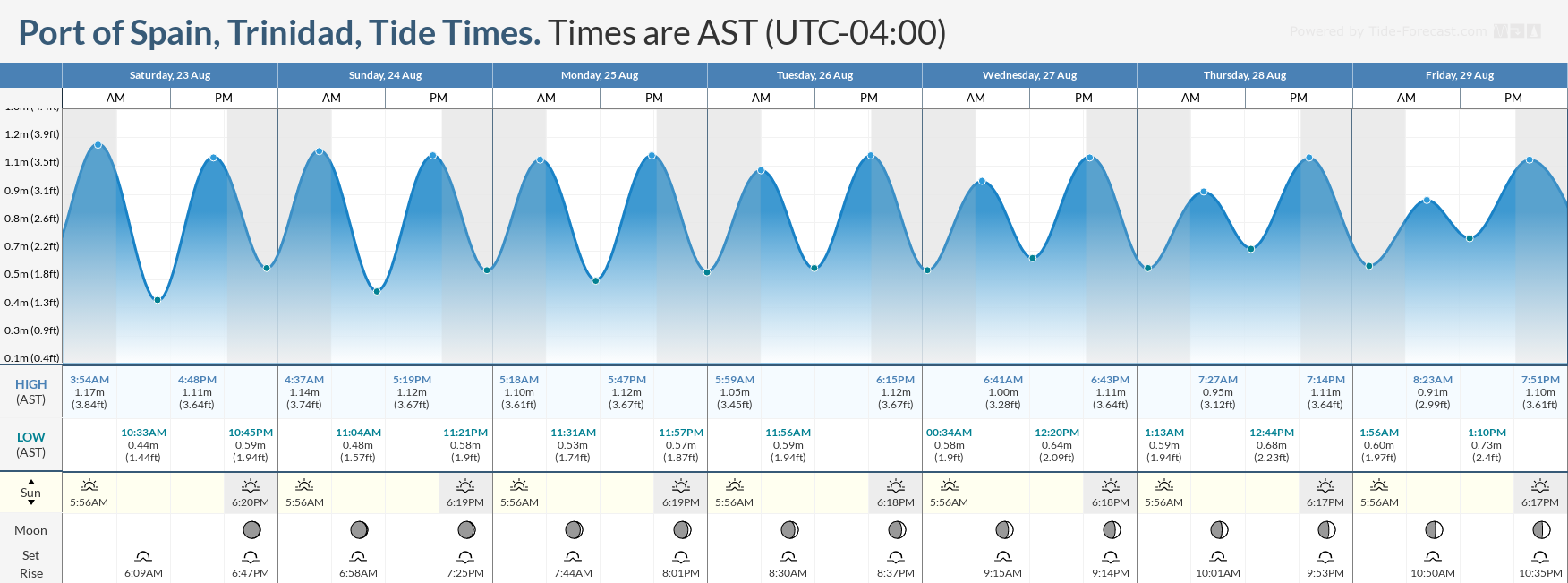
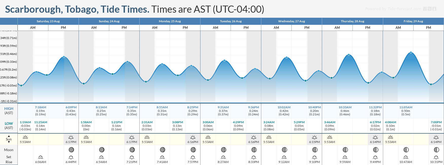
— What’s happening: A tropical disturbance, Invest 99L, is moving through the Windwards through Monday morning, bringing anomalous winds. Then, swells from ex-Hurricane Erin are forecast to begin affecting T&T from late Monday. Additionally, through the week, while slight to moderate seas are forecast across the entire marine area over the next seven days, choppy seas are likely in sheltered areas during heavy showers and thunderstorms. Spring tides are set to end on August 26th.
— Impacts: Choppy seas, caused by elevated winds in showers and thunderstorms, can be hazardous to smaller marine vessels, making operations difficult due to the large waves. Swells may result in larger-than-usual waves in nearshore areas, particularly south-facing coastlines through Monday morning, and then north-facing northern coastlines of both islands through the remainder of the week.
— What Should You Do: Inexperienced mariners should avoid navigating in hazardous conditions, especially those operating smaller vessels during heavy showers and thunderstorms. If you intend to go into the water, it is recommended that you use beaches with lifeguards on duty.
Latest Alerts

Adverse Weather Alert Discontinued For Western Trinidad
Trinidad and Tobago is NOT under any tropical storm or hurricane threat, watch, or warning at this time.
Seas Forecast For Trinidad and Tobago
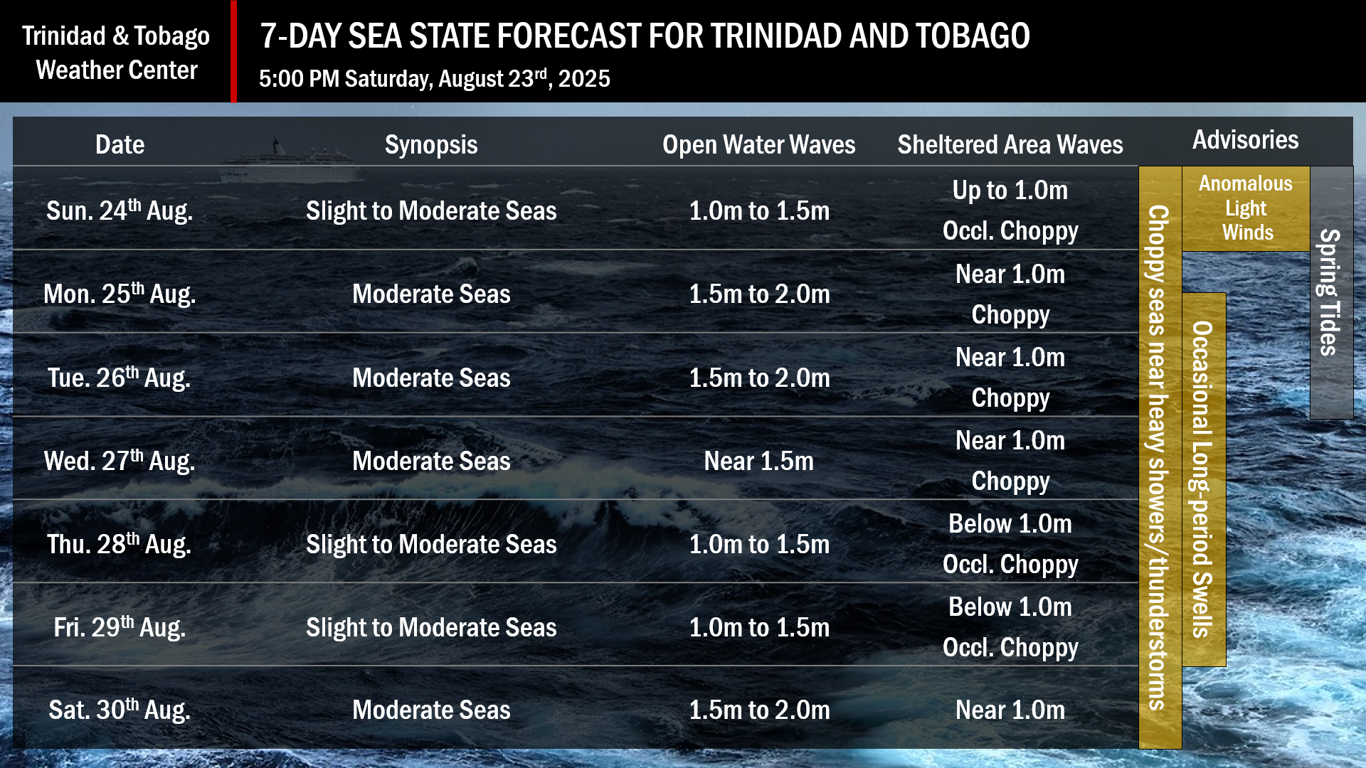
Over the next seven days: Spring tides are forecast through August 26th. Swell periods are forecast between 10 and 14 seconds from Monday, August 25th, through Friday, August 29th, with swells mainly from the north to northeast.
August 24th: Through midday, winds are forecast to be between 10 and 15 knots from the east to northeast. After midday, winds are forecast to be light to near calm and variable, with prevailing winds of up to 10 knots from the south to southeast. Across western Trinidad, winds during the afternoon may come from the west. Gusts are forecast to remain below 20 knots. Seas in open waters are forecast to remain slight to moderate, with waves ranging from 1.0 to 1.5 meters. In sheltered areas, waves are generally forecast to be up to 1.0 meters. Occasionally, choppy conditions, particularly in the Gulf of Paria, are likely in isolated heavy showers or thunderstorms.
August 25th through 27th, and on the 30th: Winds are forecast to range between 10 and 20 knots, mainly from the south to southeast. Wind gusts up to 25 knots are possible, mainly in showers and thunderstorms. Seas in open waters are forecast to remain mostly moderate with waves up to 2 meters. In sheltered areas, waves are forecast to be up to 1.0 meter, and occasionally choppy conditions may occur in heavy showers or thunderstorms. Swells may create larger-than-usual waves along northern coastlines.
August 28th through 29th: Winds are forecast to range between 5 and 15 knots from the southeast to east-northeast with gusts to 20 knots. Seas in open waters are forecast to remain slight to moderate, with waves up to 1.5 meters. In sheltered areas, waves are generally forecast to be below 1.0m. Occasionally choppy conditions, particularly in the Gulf of Paria, are possible, associated with isolated heavy showers or thunderstorms.
What should you do
All marine interests should practice common-sense safety. Small craft operators should seek safe harbor during heavy showers and thunderstorms. Inexperienced mariners, especially those operating smaller vessels, should avoid navigating in hazardous conditions. Inexperienced swimmers, if intending to go into the water, should use beaches with lifeguards on duty.
Westerly afternoon winds, combined with downdrafts from heavy showers and thunderstorms, will lead to choppy seas in the Gulf of Paria and larger-than-usual waves, particularly along south- and west-facing coastlines on Sunday afternoon. Mariners should generally exercise caution during heavy showers or thunderstorms, as seas may become locally rough or choppy in their vicinity, particularly due to gusty winds.
Rip currents always pose a hazard on the nation’s beaches. If caught in a rip current, swim perpendicular to the current, parallel to the shore.
With spring tides through August 26th, mariners, especially small craft operators, should ensure their vessels are securely anchored or docked, as choppy or breaking wave conditions may drag the vessel onto the ocean floor or reefs in shallow waters, or even break the anchorage or mooring.


