


Trinidad and Tobago will remain on the periphery of a high-pressure system over the next seven days as tropical waves roll through. The Intertropical Convergence Zone (ITCZ) will remain nearby, mainly to the south of Trinidad. As a result, fairly light winds are forecast to lead to slight to moderate seas in open waters.
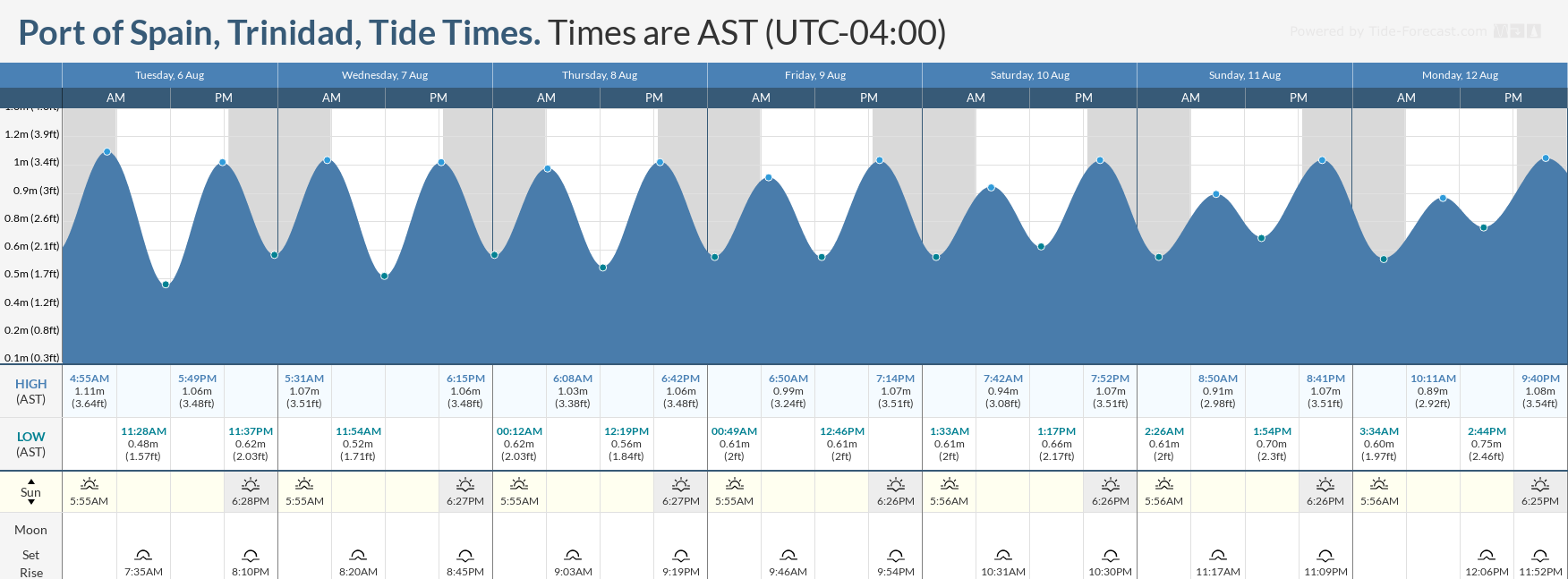
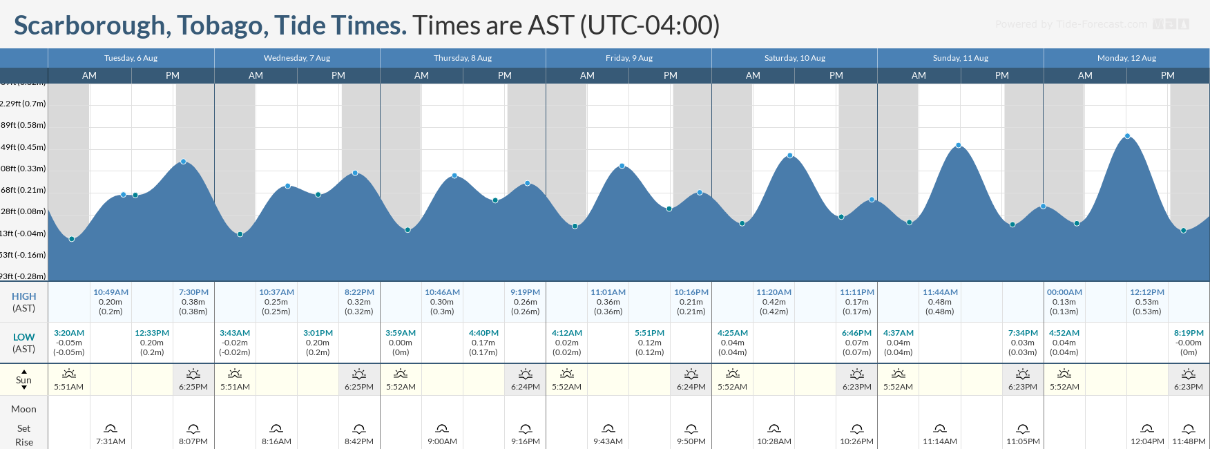
With a new moon occurring on August 4th, spring tides are forecast to continue through August 7th, requiring caution from mariners.
Latest Alerts

High Wind Alert Remains In Effect For T&T
Trinidad and Tobago is NOT under any tropical storm or hurricane threat, watch, or warning at this time.
Seas Forecast For Trinidad and Tobago
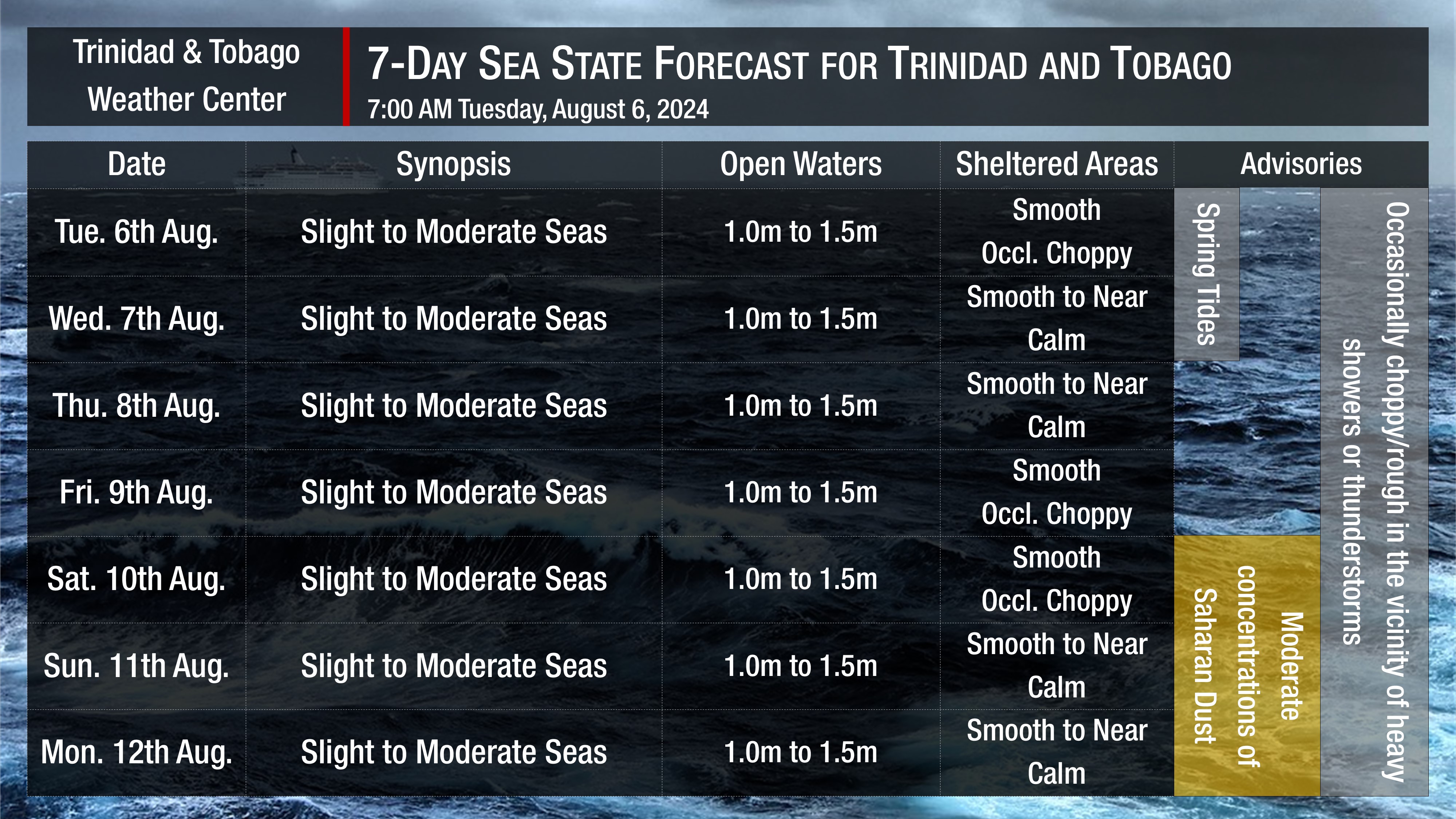
Now (Tuesday) through Monday: Seas are forecast to be slight to moderate in open waters, with waves between 1 and 1.5 meters, nearing 1.5-meter heights, mainly in northeastern areas. In sheltered areas, smooth to near-calm seas are forecast, with waves less than 0.5 meters. In isolated heavy showers or thunderstorms, seas can become locally choppy or rough. Swell periods are forecast to range between 6 and 11 seconds, with swells from the northeast to the east. Wind speeds are forecast to range between 5 and 15 knots, with gusts to 20 knots. Prevailing wind directions are forecast to be from the northeast to southeast, with westerly winds likely near-daily during the afternoons in the Gulf of Paria. Spring Tides are set to end on Wednesday.
Possible Impacts
No major marine impacts are forecast over the next seven days. However, mariners should exercise caution during periods of heavy showers or thunderstorms, as seas may become locally rough or choppy in their vicinity, particularly due to gusty winds.
Spring Tides, which are higher-than-usual high tides and lower-than-usual low tides, are forecast to end on August 7th. All marine interests are advised to exercise caution, particularly during high tide periods.
Lastly, Saharan Dust levels are forecast to increase from Saturday, August 10th, leading to increasingly hazy skies and marginally decreased horizontal visibility, particularly near dust and dawn, through Monday, August 12th.
Rip currents always pose a hazard on the nation’s beaches. If caught in a rip current, swim perpendicular to the current (parallel to the shore). Mariners, especially small craft operators, should ensure their vessels are securely anchored or docked, as choppy/breaking wave conditions may drag the vessel onto the ocean floor or reefs in shallow waters or even break anchorage/mooring.


