


Choppy seas are forecast across Trinidad and Tobago due to showers and thunderstorms, but a surge in trade winds is forecast to agitate offshore waters from Monday evening. Spring tides are ongoing and forecast to end on Tuesday.
Latest Alerts

High Wind Alert Remains In Effect For T&T
Trinidad and Tobago is NOT under any tropical storm or hurricane threat, watch, or warning at this time.
Seas Forecast For Trinidad and Tobago
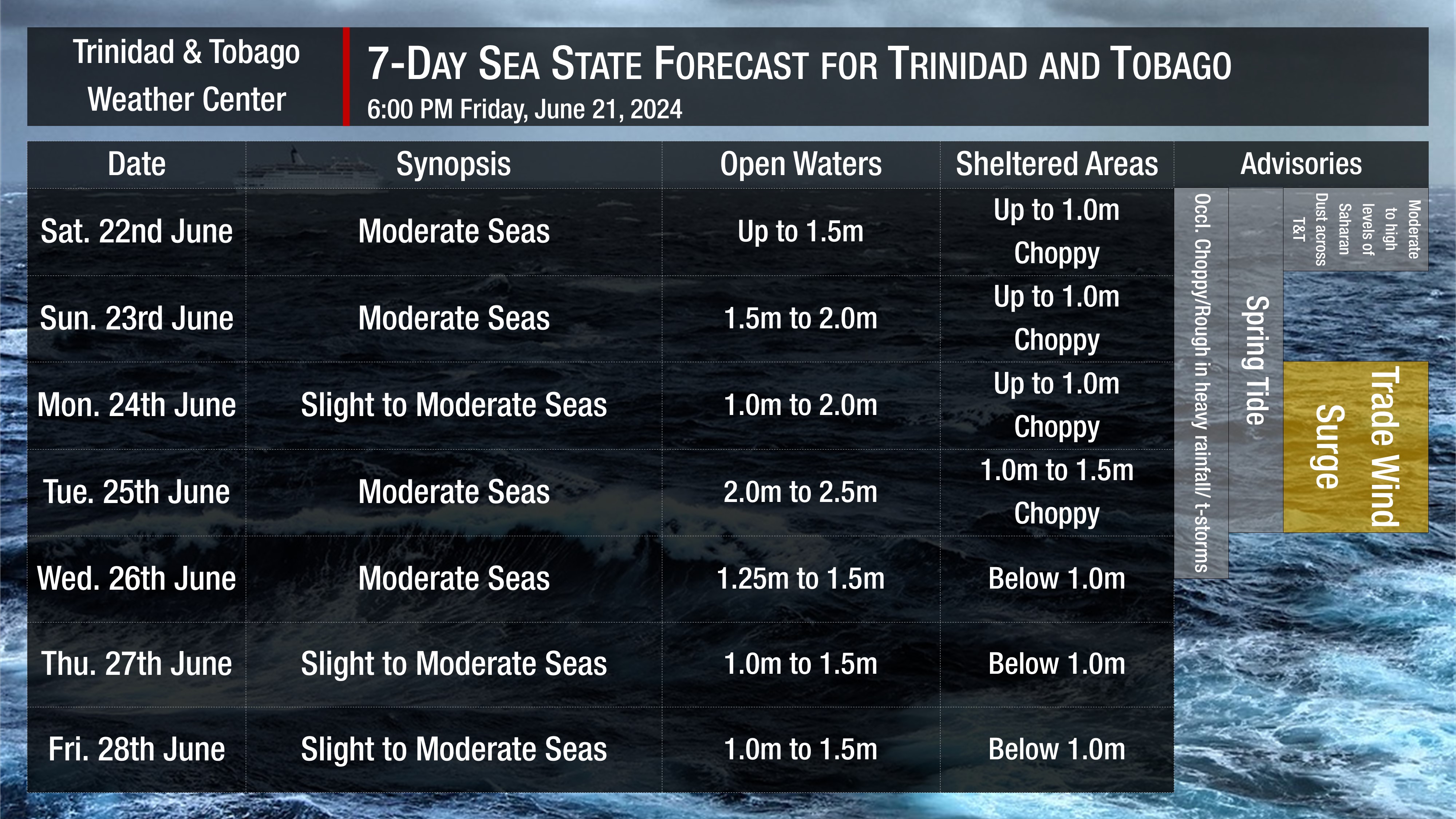
Saturday: Seas are forecast to be moderate in open waters, with waves up to 1.5 meters. In sheltered areas, waves are forecast to be near 1.0 meter, with occasional choppy conditions in the vicinity and during heavy showers/thunderstorms. Swell periods are forecast to range between 6 and 9 seconds. Winds are forecast to range between 10 and 20 knots from the northeast initially, becoming easterly and southeasterly by nightfall, gusting to 25 knots. Moderate to high concentrations of Saharan Dust present during the first half of the day. Spring tides ongoing.
Sunday through Monday: Seas are forecast to be slight to moderate in open waters, with waves up to 2.0 meters. In sheltered areas, waves are forecast to be up to 1.0 meter, but conditions may become locally rough and/or choppy in the vicinity of heavy showers or thunderstorms. Winds are forecast to be variable, from the east to south on Sunday and then from the east-northeast to southeast on Monday, between 5 and 15 knots, gusting to 20 knots. A surge in tradewinds is forecast overnight. Mild Saharan Dust concentrations are present. Swell periods between 6 and 9 seconds. Spring tides ongoing.
Tuesday: Seas are forecast to be slight to moderate in open waters, with waves up to 2.5 meters. In sheltered areas, waves are forecast to be between 1.0 and 1.5 meters, and conditions may become locally rough and/or choppy in the vicinity of heavy showers or thunderstorms. Winds are forecast to be from the southeast to east between 15 to 25 knots, gusting to 30 knots. Mild Saharan Dust concentrations are present. Swell periods between 6 and 9 seconds. Spring tides end.
Wednesday through Friday: Seas are forecast to be slight to moderate in open waters, with waves up to 1.5 meters. In sheltered areas, waves are forecast to be below 1.0 meter. Swell periods are forecast to range between 6 and 9 seconds. Winds are forecast to range between 5 and 10 knots from the east-northeast to southeast, gusting to 20 knots. Moderate to high concentrations of Saharan Dust present.
Possible Impacts
Small-craft operators will have to exercise extreme caution due to elevated winds in the vicinity of heavy showers and thunderstorms, and from Monday afternoon through Tuesday due to a surge in trade winds.
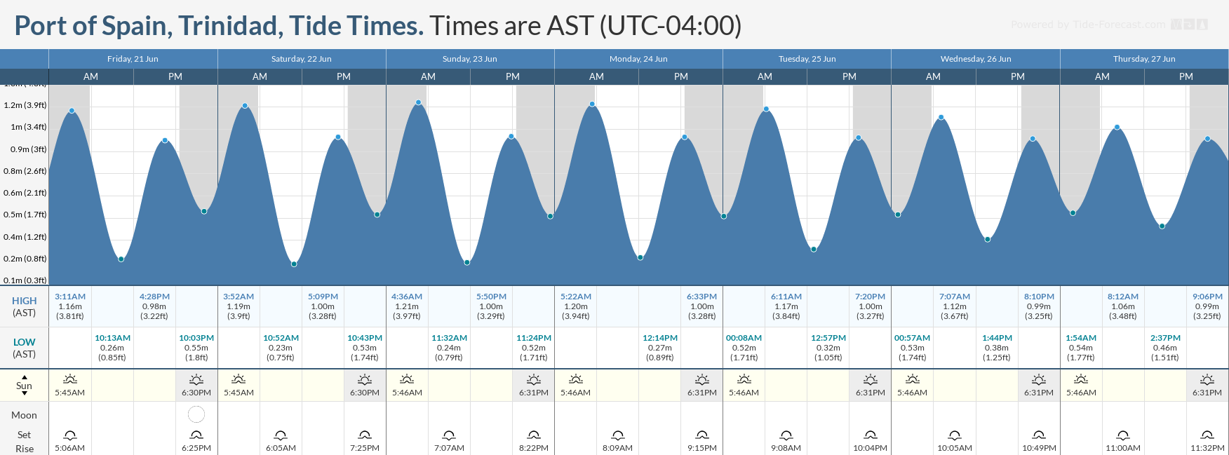
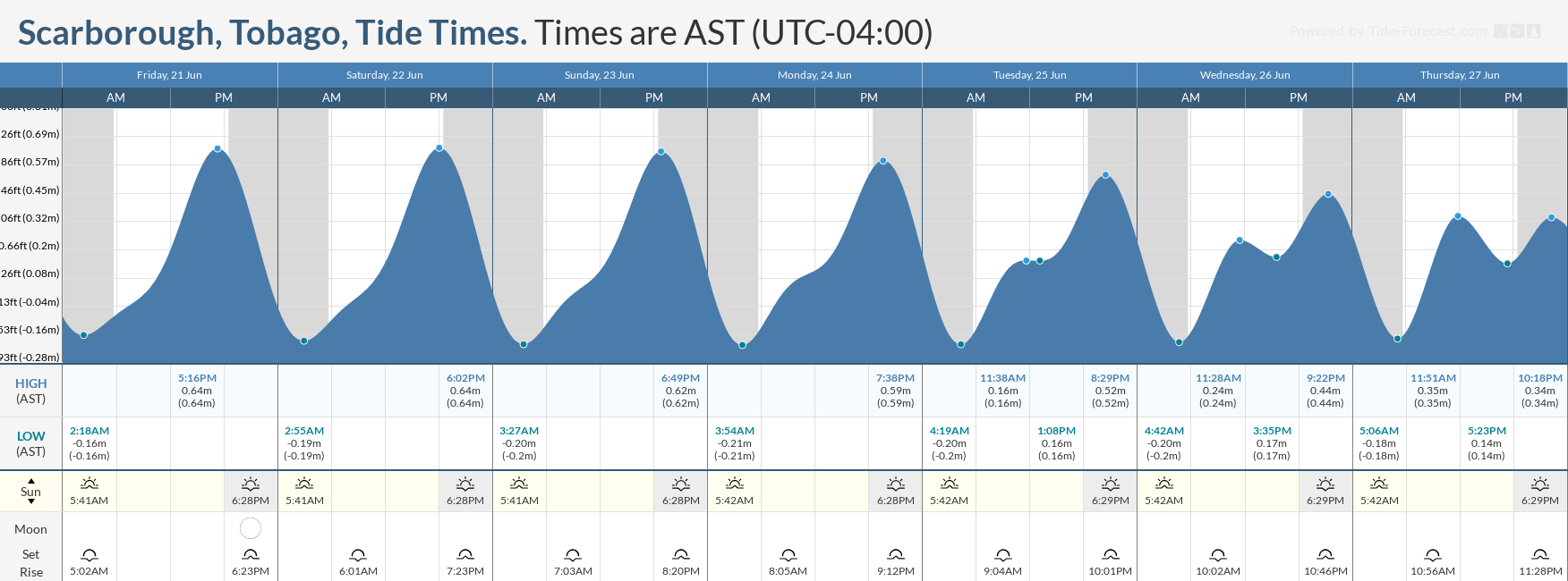
Spring tides, which are higher-than-usual high tides and lower-than-usual low tides, are forecast to end on Tuesday. Everyone will need to exercise caution, particularly during high tide periods.
With elevated concentrations of Saharan Dust present during the forecast period, small-craft operators will also need to exercise caution during dusk and dawn due to lower horizontal visibility.
Rip currents always pose a hazard on the nation’s beaches. If caught in a rip current, swim perpendicular to the current (parallel to the shore). Mariners, especially small craft operators, should ensure their vessels are securely anchored or docked, as choppy/breaking wave conditions may drag the vessel onto the ocean floor or reefs in shallow waters or even break anchorage/mooring.


