


Agitated seas are set to return this weekend as low-level winds increase, with spring tides forecast to begin by Sunday and continue through next week.
Latest Alert

Hazardous Seas Alert Discontinued For T&T
Trinidad and Tobago is NOT under any tropical storm or hurricane threat, watch, or warning at this time.
Seas Forecast For Trinidad and Tobago

Friday: Seas are forecast to be moderate in open waters, with waves between 1.5 and 2.0 meters. In sheltered areas, waves are forecast to be below 1.0 meter, and below 1.5 meters along eastern coasts. Swell periods are forecast to range between 7 and 10 seconds. Winds are forecast to range between 10 to 15 knots from the east-northeast to east-southeast, gusting up to 25 knots.
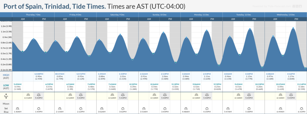
Saturday through Sunday: Seas are forecast to be moderate to occasionally rough in open waters with waves near 2.0 meters, occasionally reaching above 2.0 meters, mainly offshore northeastern Trinidad and east of Tobago. In sheltered areas, waves are forecast to be below 1.5 meters. Swell periods are forecast to range between 8 and 12 seconds. Winds are forecast to be near 20 knots from the northeast, gusting to 25 knots. Spring tides are set to begin on Sunday.
Monday through Thursday: Seas are forecast to be moderate in open waters, with waves generally between 1.5 and 2.0 meters. In sheltered areas, waves are forecast to be near 1.0 meter. Swell periods are forecast to range between 8 and 11 seconds. Winds are forecast to range between 10 to 15 knots from the northeast to east-southeast, gusting up to 20 knots.

Possible Impacts
Saharan Dust concentrations are forecast to be present during the forecast period but are not expected to affect visibility significantly.
Spring tides are forecast to begin from Sunday and continue through next week, resulting in higher-than-usual high tides and lower-than-usual low tides. During high tide periods, all marine interests are advised to exercise caution with an elevated risk of rip currents.


