


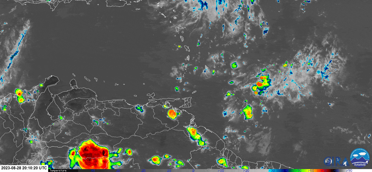
Tropical Wave 38 moved across Trinidad and Tobago on Tuesday, temporarily bringing an end to the week-long onslaught of oppressive heat across the country with beneficial rainfall and cloudy skies.
In T&T, the coolest time of the day generally occurs during the pre-dawn hours, but on Tuesday, with periods of showers, rain, and isolated thunderstorms, the country’s minimum lows occurred between 11:00 AM and 1:00 PM, usually the hottest period of the day. Across the country, minimum lows ranged from 22.6°C to 25°C, trending cooler in mountainous areas like Paramin, which recorded a low of 18.9°C at 12:10 PM, and warmer near the coast, like at Gulf View and Crown Point, where minimum lows came in at 25.7°C and 26.7°C respectively.
As rainfall and cloudiness moved away by the late afternoon across T&T, the temperatures began to rise across the country, particularly in southern areas where rains were sparse.

Maximum highs across the country generally remained below 30°C. At Piarco, at 5:00 PM, the maximum high temperature of 28.3°C was recorded, officially marking the 5th coolest day, based on the lowest maximum high temperature, for 2023 to date. For context, minimum low temperatures in Trinidad reached as high as 27°C over the past 10 days, while in Tobago, minimum lows were as warm as 28.7°C within the past seven days.
As temperatures rose during the late afternoon while humidity remained high, so did the heat index. The heat index is a combination of air temperature and relative humidity, determining what the air feels like to a person, i.e., how hot it actually feels. The heat index is important because of sweating. Your body sweats to cool the skin and maintain a constant, healthy body temperature. When the heat index is high, your sweat may not evaporate as quickly, leading to you heating up further, which can have life-threatening consequences like a heat stroke.

On Tuesday, heat indices across T&T generally ranged across levels that required caution to extreme caution, with areas that received more sunshine, like southern Trinidad, trending higher.

However, this tropical wave brought needed rains to parts of the country, with northern Trinidad recording the highest accumulations since midnight on Tuesday through the evening. Isolated overnight showers and possible thunderstorms may increase accumulations associated with Tropical Wave 38 across Tobago and eastern Trinidad.

There were no reports of street or flash flooding, as soils have remained fairly parched with little to no significant rainfall across the country over the past ten days.
Forecast Through Friday
As we progress through tonight, additional showers and isolated thunderstorms are possible, but a high-pressure ridge is forecast to rebuild on Wednesday through Thursday, leading to a return of mostly hot and dry conditions across the country.
By Friday into Saturday, Tropical Wave 39 is forecast to move across the Windward Islands, but much of the rainfall and cloudiness is forecast to remain north of the country. Still, an increase in cloudiness with a low to medium chance of showers and isolated thunderstorms will keep temperatures below record-breaking levels to start September.


