


Winds are forecast to gradually increase this week, resulting in wave heights increasing in open waters and sheltered areas. By Thursday, long-period swells and Spring Tides are set to begin.
Latest Alerts
There are no alerts, watches, or warnings in effect for T&T. Trinidad and Tobago is NOT under any tropical storm or hurricane threat, watch, or warning at this time.
Seas Forecast For Trinidad and Tobago

Through the first half of the week, with wind speeds varying between 10 and 15 knots from the east-southeast to the east-northeast, seas in open waters are forecast to be moderate. Waves are set to reach up to 1.5 meters, while in sheltered areas, waves are forecast to remain below 1.0 meter. Winds may gust as high as 20 knots during this period, particularly near any stray showers.
By Thursday, winds are forecast to increase into the weekend, ranging between 15 and 20 knots, gusting to 25 knots all from the southeast to the northeast. These elevated winds are forecast to increase wave heights up to 2.0 meters in open waters while still remaining below 1.0 meter in sheltered areas. However, a combination of long-period swells up to 14 seconds and elevated winds may cause larger waves along northern and eastern coastlines as well as occasionally choppy conditions in nearshore areas.

Possible Impacts
Saharan Dust concentrations are forecast to remain elevated from Thursday, but with mild to moderate concentrations, visibility is forecast to remain mostly unaffected.
Rip currents will still be present along the nation’s coastlines. Rip currents are strong currents perpendicular to the shoreline that can carry even the strongest swimmers out to sea. These currents account for most nearshore rescues and have claimed several lives in the recent past.
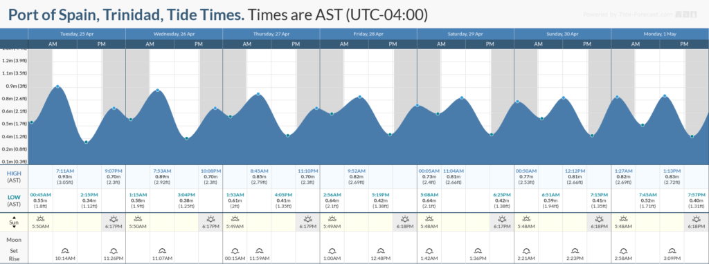
These currents will pose a greater hazard from Thursday onwards as Spring Tides come into effect. Spring Tides are higher than usual high tides and lower than usual low tides, requiring caution from mariners and beachgoers alone. Additionally, with larger waves possible from Thursday, a combination of rip tides and undertow could pose a hazard to beachgoers on Trinidad and Tobago’s northern and eastern coasts.


