


Localized heavy showers and thunderstorms moved across western Trinidad on Monday, leading to isolated street and flash flooding.
Areas affected included Boissiere, Chaguanas Proper, Duncan Village, East Port of Spain, El Socorro Extension, Golconda, Gulf View, La Romain, Laventille, Les Efforts East, Montrose Village, Paradise, Pleasantville, Port of Spain Proper, San Fernando Proper, St. Clair, and Woodbrook.
Street flooding was particularly severe along Edward Street in lower Port of Spain, and at the intersection of Sackville Street, Scott-Busche Street, and Wrightson Road, where Wrightson Road became temporarily impassable for the second time in less than a week.

Rainfall accumulations across most of Trinidad and Tobago remained below 10 millimeters. Across northwestern and southwestern Trinidad, between 1 and 3 inches (25-75 millimeters of rainfall was recorded, with a station in Woodbrook recording 81.7 millimeters of rainfall.

Today’s weather was due to a favorable low-level convergence, and across the western half of Trinidad, where the Adverse Weather Alert was in effect, light winds, daytime heating, sea breeze convergence, and orographic effects aided in the development of more intense activity. These features are typical of the local Wet Season.

Latest Alerts

Adverse Weather Alert Discontinued For Western Trinidad
Trinidad and Tobago is NOT under any tropical storm or hurricane threat, watch, or warning at this time.
The Adverse Weather Alert Discontinuation
The Trinidad and Tobago Meteorological Service discontinued the Adverse Weather Alert (Yellow Level) on Monday at 4:46 PM.
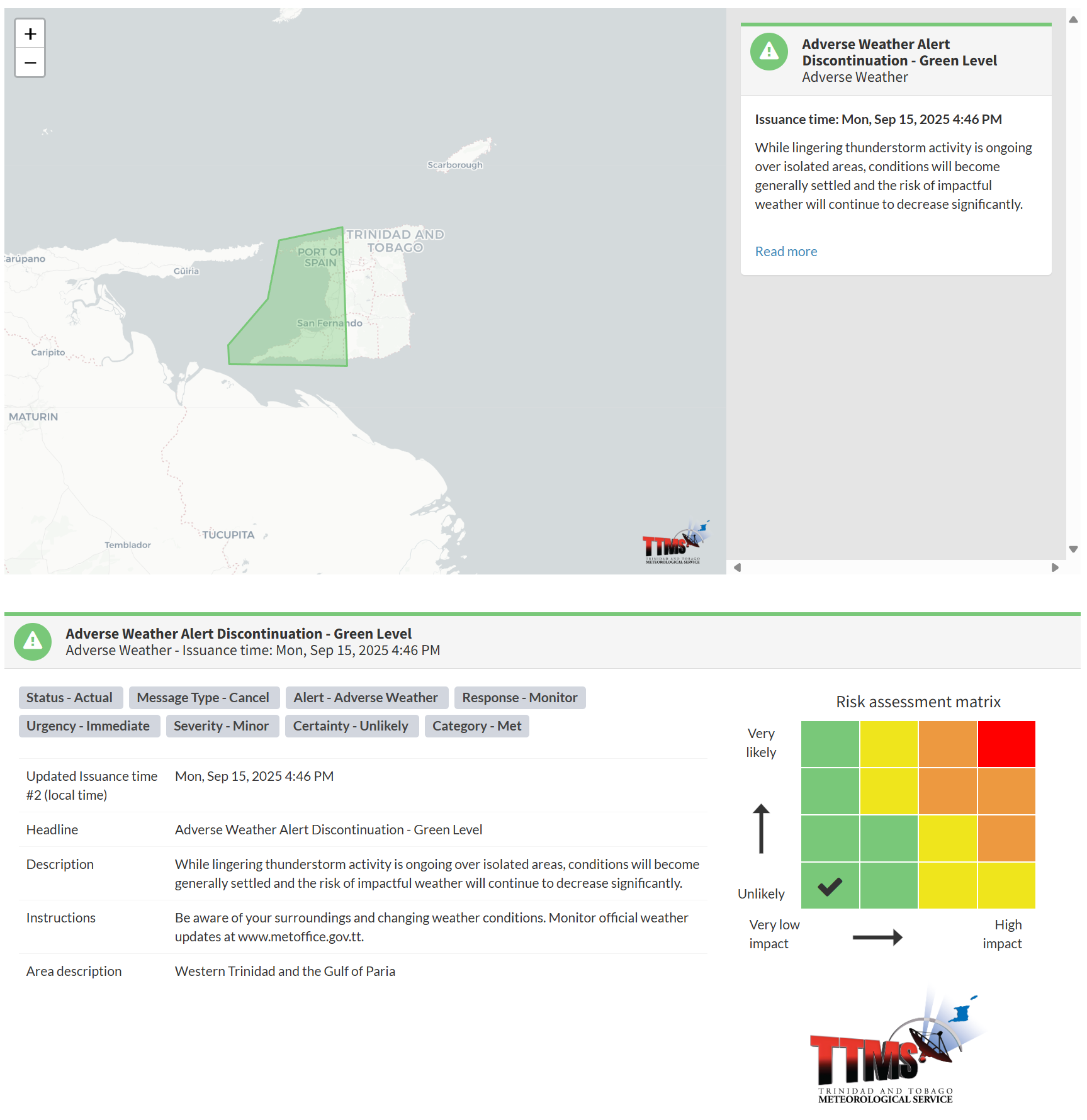
The TTMS states, “While lingering thunderstorm activity is ongoing over isolated areas, conditions will become generally settled and the risk of impactful weather will continue to decrease significantly.”

The alert’s color indicates the severity of the event and the probability of its occurrence. Currently, the alert level is green. This alert status considers the possibility of the event ending, with certainty at its lowest level, at “unlikely”. Discontinuations and green-level alerts have historically been issued with a likelihood of ‘very likely/observed’ or ‘likely’.
This means that additional hazards are still unlikely, with the severity of the impacts being minor for this particular alert.
The Met Office advises the population to be aware of your surroundings and changing weather conditions.


