While riverine flooding continues, particularly across the Caroni River Basin, a severe risk to public safety, lives, livelihoods, and property remains. Major river levels are declining as of Friday morning.
What you need to know
— What has happened: Over the past three days, periods of heavy rain/showers and thunderstorms have produced between 100 and 150 millimeters of rainfall, with several areas recording as high as 200 to 300 millimeters of rain, leading to flooding and landslides.
— What to expect: No significant rainfall is forecast to affect the currently impacted areas over the next 12 to 24 hours, allowing conditions to improve gradually.
Latest Alerts
Adverse Weather Alert Discontinued For Western Trinidad
Adverse Weather Alert Now In Effect Only For Western Trinidad
Trinidad and Tobago is NOT under any tropical storm or hurricane threat, watch, or warning at this time.
The Riverine Flood Alert
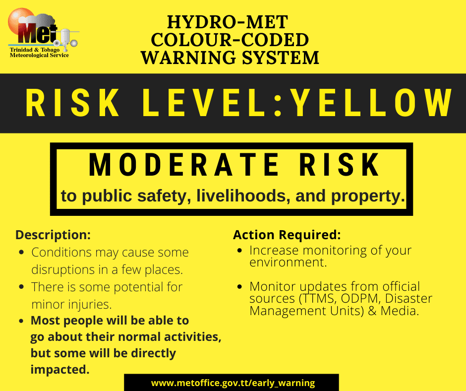
The Trinidad and Tobago Meteorological Service updated and downgraded the Riverine Flood Alert Orange Level to Yellow Level on Friday, June 13th, 2025, at 11:23 AM. The alert went into effect for the Caroni River Basin, then expanded to include the South Oropouche River Basin, and now has been extended through 10:00 AM Saturday, June 14th, 2025.
Trinidad and Tobago is not under any tropical storm watch or warning at this time.

“Water levels along the Caroni River near El Carmen and sections of the South Oropouche River remain elevated but are showing a steady downward trend. Riverine flooding persists in some areas due to earlier overtopping and continues to pose a severe risk to public safety, livelihoods, and property, particularly for communities situated near affected riverbanks. The Caroni River, near Tumpuna, along with the Manuel Congo and North Oropouche Rivers, is on a persistent downward trend and has receded to below critical levels. No significant rainfall is forecast to affect current impacted areas over the next 12 to 24 hours, allowing conditions to gradually improve”, according to the Trinidad and Tobago Meteorological Service. This “alert” status takes into account the possibility of the event occurring. This riverine flood event is possible.

The color of the alert indicates the severity of the event and its likelihood of occurring. Currently, the alert level is Yellow. This means that the hazard is possible, and you should be aware of the potential impacts of street, flash, and riverine flooding in your area. Severe impacts are expected.
For a severe Riverine Flood Alert, there is a potential for loss of life or serious injuries; physical defenses are necessary, significant losses are possible in confined areas, income-earning activities are impossible for several days, and several communities are affected, requiring external help for recovery.
Residents in affected areas, as well as those in low-lying or flood-prone areas, are still advised to exercise caution, monitor updates, and avoid unnecessary exposure to floodwaters. Do not take unnecessary risks. Do not venture into flood waters. Follow the instructions of government officials. Monitor official sources for information.


