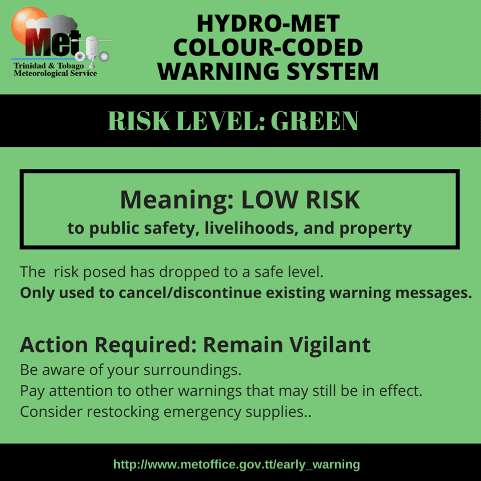
The Trinidad and Tobago Meteorological Service (TTMS) has discontinued the Adverse Weather Alert for Trinidad and Tobago as conditions gradually settled this afternoon.
Heavy rainfall over the last 24 hours beneficially affected parts of the country, with overall heavier rainfall favoring eastern areas of Trinidad and across Tobago. Peak rainfall accumulations ranged between 25 and 75 millimeters (1-3 inches), with isolated higher totals and up to 37.5 millimeters (1.5 inches) elsewhere.

Peak wind gusts remained below 55 KM/H across the country, with generally stronger gusts recorded across Tobago on Saturday.

What you need to know
— What has happened: Periods of rain, scattered moderate to heavy showers, and isolated strong thunderstorms affected Trinidad and Tobago. This was due to Tropical Wave 28 interacting with the Intertropical Convergence Zone (ITCZ).
— What to expect: Following the passage of Tropical Wave 28, conditions are forecast to gradually settle across the country. However, isolated showers or thunderstorms may develop during the early morning on Sunday, mainly east of T&T, and again during the afternoon, favoring western and hilly areas of Trinidad.
— Hazards: Street/flash flooding remains possible due to localized heavy/violent rainfall. In heavy downpours, gusty winds up to 50 KM/H are possible, and thunderstorms may produce frequent cloud-to-ground lightning. Seas may become locally agitated during heavy showers or thunderstorms.
Latest Alerts
TTMS Issues Adverse Weather Alert For T&T
Trinidad and Tobago is NOT under any tropical storm or hurricane threat, watch, or warning at this time.
The Adverse Weather Alert Discontinuation
The Trinidad and Tobago Meteorological Service discontinued the Adverse Weather Alert (Yellow Level) on Saturday at 2:12 PM.
Trinidad and Tobago is not under any tropical storm watch or warning at this time.

According to the TTMS, “The likelihood of heavy showers and intense thunderstorms have decreased significantly over the past few hours, and generally, conditions have settled. Due to the persistent rains in some areas, there may still be the possibility of localized ponding in areas so prone.”

The alert’s color indicates the event’s severity and probability of occurring. Currently, the alert level is Green, as the discontinuation was issued, with certainty at unlikely, but this is likely an error. According to the TTMS, possible impacts are moderate.
A moderate Adverse Weather Alert can result in possible injuries and behavioral changes are required to ensure safety. Minor damage to property may also occur, temporarily disrupting income-earning activities and affecting a couple of communities.
The Met Office is advising the public to monitor weather conditions before venturing out and not drive through flood waters.


