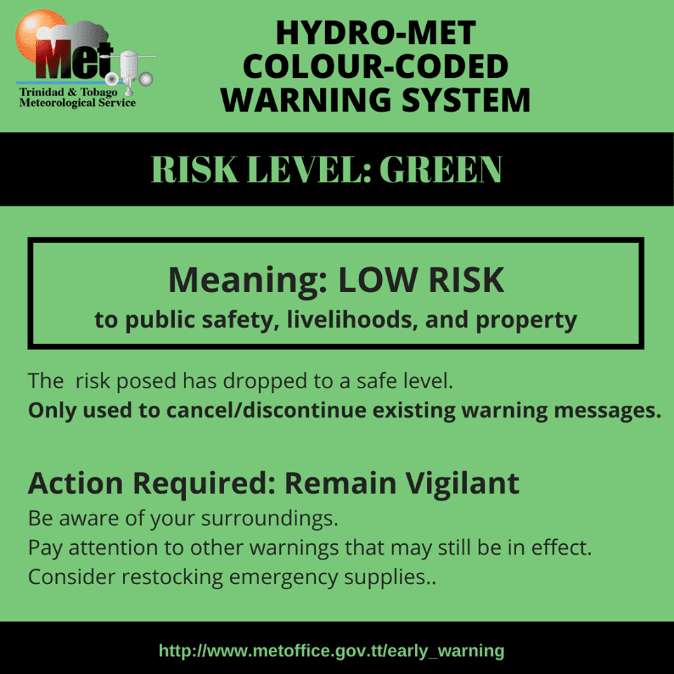
The Trinidad and Tobago Meteorological Service (TTMS) has discontinued the Tropical Storm Warning for Tobago and surrounding coastal waters. However, this discontinuation was replaced with an Adverse Weather Alert (Yellow Level) for both Trinidad and Tobago, as well as surrounding coastal waters.
What you need to know
— What has happened: Tobago is no longer under threat of hurricane or tropical-storm conditions.
— What to expect: According to the Trinidad and Tobago Meteorological Service, “Periods of showers and extended periods of rain are still expected. Gusty winds in excess of 55 KM/H can be expected in heavy showers and thunderstorms that can still occur. The likelihood of landslides remains in areas so prone. Hazardous seas have been observed with large, battering waves, and mariners should continue to expect significant wave heights, posing danger to small craft and coastal and offshore activities. Strong currents and choppy seas will make navigation hazardous.”
Latest Alerts
TTMS Issues Adverse Weather Alert For T&T
Trinidad and Tobago is NOT under any tropical storm or hurricane threat, watch, or warning at this time.
The Tropical Storm Warning Discontinuation
The Trinidad and Tobago Meteorological Service discontinued the Tropical Storm Warning for Tobago, replacing it with an Adverse Weather Alert.
Trinidad and Tobago is not under any tropical storm watch or warning at this time.


According to the TTMS, “Tropical Storm Warning for Tobago has been further downgraded to Adverse Weather Alert as tropical-storm-force winds are now unlikely to affect the island of Tobago. Periods of showers and extended periods of rain are still expected. Gusty winds in excess of 55 KM/H can be expected in heavy showers and thunderstorms that can still occur. The likelihood of landslides remains in areas so prone. Hazardous seas have been observed with large, battering waves, and mariners should continue to expect significant wave heights, posing danger to small craft and coastal and offshore activities. Strong currents and choppy seas will make navigation hazardous.”

The discontinuation’s color indicates the severity of the event and the probability of its occurrence. Currently, the alert level is Green, as the discontinuation was issued, and the certainty is unlikely.
At this level, according to the TTMS, while there is a low risk to public safety, livelihoods, and property, rainfall, landslides, and gusts could still produce moderate impacts. This means there is the potential for possible injuries, where behavioral changes are required to ensure safety. There may be minor damage to property, with income-earning temporarily disrupted and a couple of communities affected.
The Met Office is still advising the public to: “Continue to take actions to protect lives, livelihoods, and property. Avoid wading through residual flood water. Avoid dangerous areas as residual risks of flooding and landslides exist. Sea bathers, fishermen, small craft operators, and other coastal interests should be fully prepared to protect lives, livelihoods, and coastal property. Exercise extreme caution along the coast. Avoid entering the sea. Be prepared for dangerous breaking waves and currents. Follow the instructions of (the) lifeguards. Monitor official news sources and weather updates. Follow instructions of government officials.”


