Tropical Depression Six has formed in the Atlantic Ocean as shower and thunderstorm activity associated with an area of low pressure formerly designated as Invest 99L has increased.
According to the National Hurricane Center, this tropical depression is forecast to be relatively short-lived, degenerating into a remnant low before reaching north of the Leeward Islands.

This system poses no direct threat to Trinidad and Tobago.
The Latest

According to the National Hurricane Center (NHC), at 5:00 PM AST, the center of Tropical Depression Six was located near latitude 16.7 North, longitude 50.2 West, approximately 1,375 kilometers east of the Leeward Islands. The depression is moving toward the west-northwest near 26 KM/H and a gradual turn to the west is expected later today, with a decrease in forward motion. On Monday, the depression is forecast to turn back to the west-northwest.
Maximum sustained winds are near 55 KM/H KM/H with higher gusts. According to the NHC, TD6 is located in a relatively hostile environment with strong deep-layer vertical wind shear and relatively dry mid-levels, which are not expected to change over the next few days. Most global models suggest little change in strength is forecast for the next several days, and TD6 could become a remnant low-pressure area by Monday. The estimated minimum central pressure is 1006 millibars.
There are no coastal watches or warnings in effect, and this system poses no threat to land on its current forecast path.
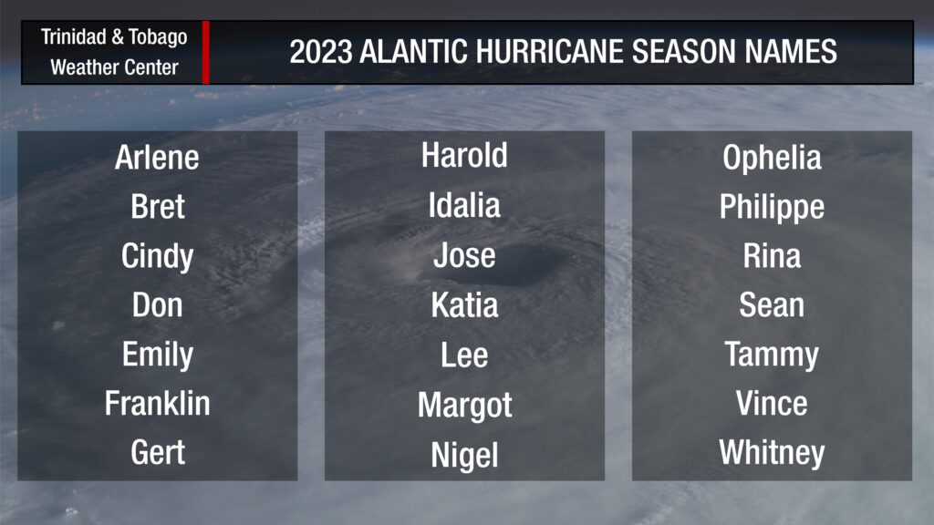
If this system were to briefly attain tropical storm status, it would be called Emily.


