


An active tropical wave, Tropical Wave 47, is approaching the Lesser Antilles. Stronger convection (showers, thunderstorms) are forecast to remain north of the country, affecting the northern Windwards and French Antilles.
For Trinidad and Tobago, active weather is set to trail the wave axis with sporadic showers/thunderstorms today into tonight, with peak inclement weather from Wednesday (tomorrow) through the remainder of the week, as the Intertropical Convergence Zone interacts with a low-level trough and another tropical wave, Tropical Wave 48.
What you need to know
— Rainfall: Through Saturday, periods of rain, scattered moderate to heavy showers, and thunderstorms are forecast across the country, interrupting variably cloudy skies. Overall rainfall totals between 100-150 millimeters (4-6 inches) are forecast across both islands, with locally higher amounts reaching up to 250 millimeters (10 inches).
— Hazards: Street and flash flooding with localized ponding are expected in heavier showers or thunderstorms. Riverine flooding will be possible from Thursday across smaller watercourses and tributaries, then major rivers by the weekend. Wind gusts in excess of 55 KM/H accompanying heavy showers or thunderstorms are likely, particularly Wednesday through Friday, during and ahead of heavy showers or thunderstorms. Localized wind damage, such as fallen trees, is possible. Lightning will accompany thunderstorms. Landslides are also possible, mainly across Tobago and northern Trinidad.
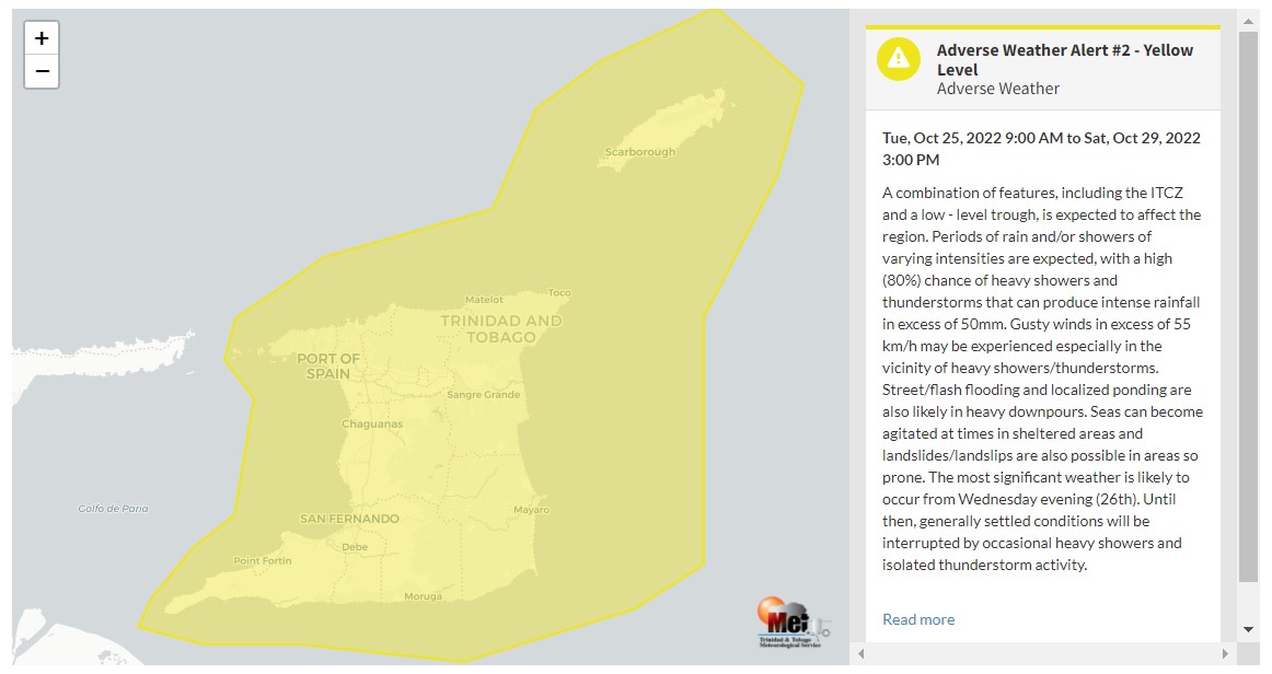
— Alerts/Watches/Warnings: The Trinidad and Tobago Meteorological Service extended the Adverse Weather Alert (Yellow Level) for Trinidad, Tobago, and surrounding marine areas, now in effect from 9:00 AM Tuesday, October 25th, 2022, and remains in effect through 3:00 PM Friday, October 29th, 2022. There are no tropical storm or hurricane watches or warnings in effect for T&T at this time.
The Adverse Weather Alert
The Trinidad and Tobago Meteorological Service extended the Adverse Weather Alert (Yellow Level) at 3:06 PM Tuesday for Trinidad, Tobago, and surrounding marine areas, now in effect from 9:00 AM Tuesday, October 25th, 2022, and remains in effect through 3:00 PM Friday, October 29th, 2022.
Trinidad and Tobago is not under any tropical storm watch or warning at this time.
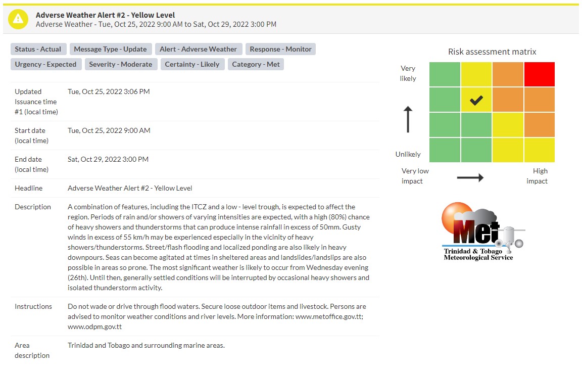
“A combination of features, including the ITCZ and a low-level trough, is expected to affect the region. Periods of rain and/or showers of varying intensities are expected, with a high (80%) chance of heavy showers and thunderstorms that can produce intense rainfall in excess of 50mm. Gusty winds in excess of 55 km/h may be experienced, especially in the vicinity of heavy showers/thunderstorms. Street/flash flooding and localized ponding are also likely in heavy downpours. Seas can become agitated at times in sheltered areas, and landslides/landslips are also possible in areas so prone. The most significant weather is likely to occur from Wednesday evening (26th). Until then, generally settled conditions will be interrupted by occasional heavy showers and isolated thunderstorm activity,” according to the Trinidad and Tobago Meteorological Service. This “alert” status takes into account the possibility of the event occurring. This adverse weather event is likely.

The color of the alert indicates the severity of the event and the probability of the event occurring. Currently, the alert level is Yellow. This means that the hazards are likely, and the severity of the impacts is moderate for this particular alert. You should be aware of the hazards in your area associated mainly with gusty winds in excess of 55 KM/H, street, flash, and riverine flooding, landslides, as well as frequent lightning.
For a moderate Adverse Weather Alert, there is the potential for possible injuries, where behavioral changes are required to ensure safety. There may be minor damage to property, with income-earning temporarily disrupted and a couple of communities affected.
The Met Office is advising the public to monitor weather conditions, river levels, and updates from official sources, not wade or drive through flood waters, and secure loose outdoor items and livestock.


