In Trinidad and Tobago, we generally experience a confirmed tornado touchdown once every 10-20 years. This has generally held true with the 2009 Caroni Plains Tornado and the 2019 tornadoes in Cunupia and Port of Spain, respectively. However, the 2020 Chase Village Tornado looks like it has broken that pattern.
As forecast, after an initially hot and sunny morning across Trinidad, daytime heating and sea breeze convergence triggered the rapid development of heavy showers and thunderstorms across the Western half of the island.
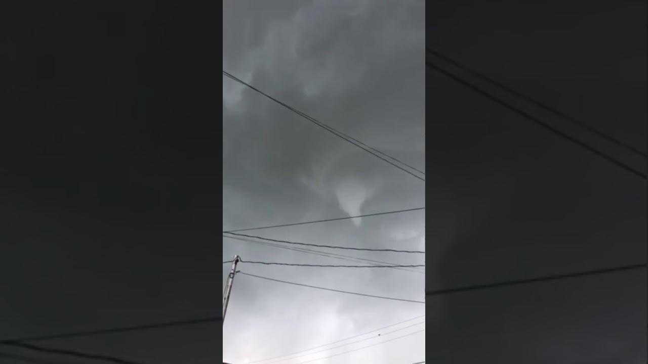
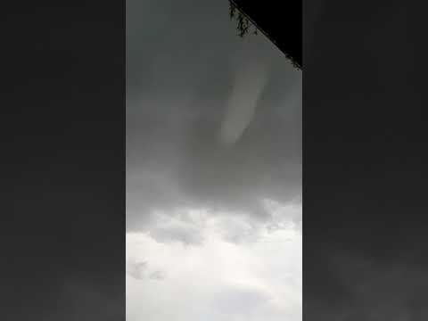
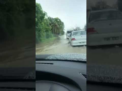
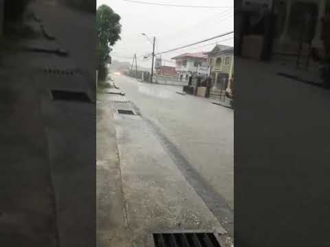
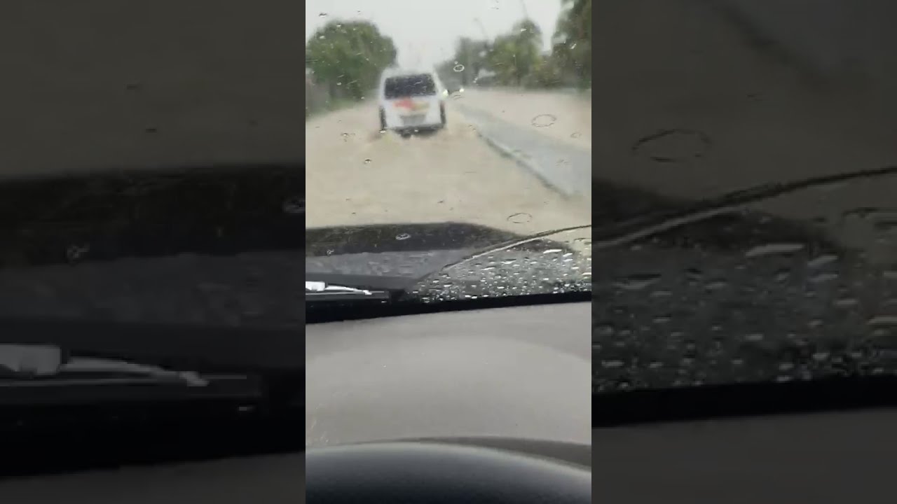
Around 1:00 PM, reports of funnel clouds began coming in as it was spotted from Freeport and Chase Village. By 1:30 PM, reports of tornado damage began to come in from the Chase Village area. This coincided with torrential rainfall and street and flash flooding across parts of Western Trinidad.
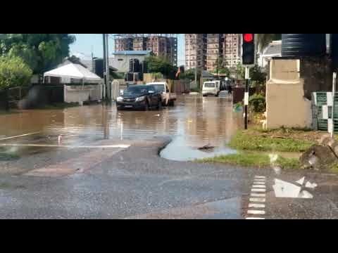
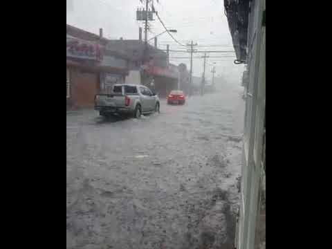
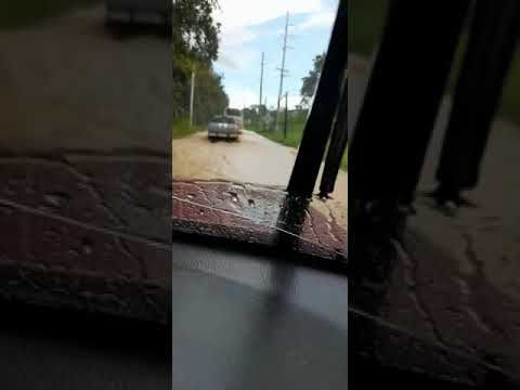
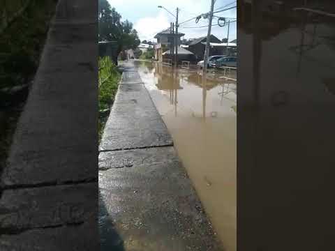
These showers and thunderstorms dumped very localized amounts of rainfall, between 20 and 55 millimeters, across much of the western half of Trinidad, producing street flooding in parts of Chaguanas and environs as well as parts of Southwestern and North-Central Trinidad.
How Did the Tornado Form?
Tropical Wave 55 (and Invest 93L) neared the Central and Northern Lesser Antilles during the afternoon of October 14th, 2020. A surface-to-low-level trough extended southwestward from the disturbance’s low-level center, causing near-calm winds across T&T through the morning, with winds even becoming southerly and westerly at times.

Across Trinidad, by the late morning through the afternoon, light winds, daytime heating, and sea breeze convergence acted as triggers for shower and thunderstorm development across western parts of Trinidad, with orographic lift triggering/enhancing showers along hilly topography.
Favorable upper-level conditions enhanced activity due to the positioning of an upper-level trough and a short-wave trough further east of the region. However, strong westerly wind shear limited persisting deep convection, spreading upper-level clouds eastward.

Several atmospheric conditions needed to come together across Central Trinidad for this rare phenomenon to form.
Tornado formation is not completely understood, and there are two main ways a tornado may form. In the case of the 2020 Chase Village Tornado, the below mechanism is the likely explanation for how this tornado formed.
Firstly, a horizontal spinning effect must form on the Earth’s surface. This usually originates in sudden changes in wind direction or speed, known as wind shear. Secondly, a thundercloud, or occasionally a cumulus cloud, must be present.

During a thunderstorm, updrafts are occasionally powerful enough to lift the horizontal spinning row of air upwards, turning it into a vertical air column. This vertical air column then becomes the basic structure for the tornado. Tornadoes that form in this way are often weak and generally last less than 10 minutes.
The 2020 Chase Village Tornado lasted generally less than a few minutes and caused localized damage.
The Funnel Cloud & Tornado

Around 12:55 PM, residents in Freeport, Chase Village, and Orange Valley spotted the funnel cloud across the Chase Village area. Most reports indicate that the funnel cloud dissipated after a few minutes.
By 1:15 PM, the intense rotating column of air associated with the funnel cloud (though the cloud was not visible) touched down. Note that sometimes, for various reasons, that rapidly rotating column of air gets in contact with the ground without a funnel cloud touching down, which is known as a tornado without a funnel.
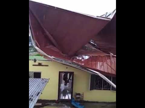
The tornado’s first victim was a warehouse just off Ramseran Trace (which runs parallel to Ragoonanan Road East). Several large water tanks were thrown about, with tree damage recorded.
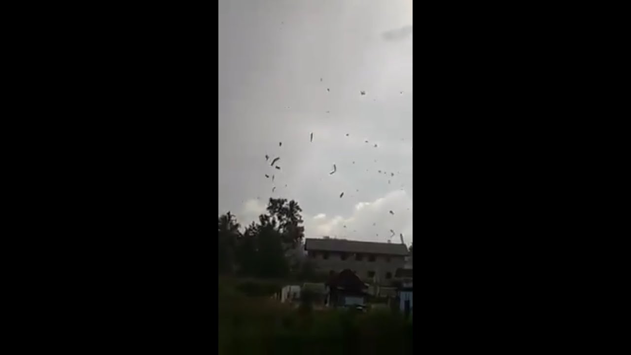
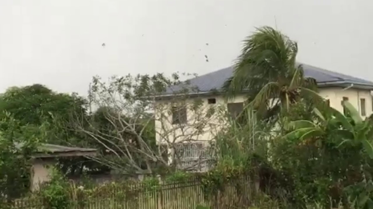
The tornado initially hit a cowshed, causing unsecured and secured sheets of galvanize to soar into the skies. The intense winds moved westward, hitting two homes, causing minor roof damage on the eastern home and major roof damage on the other, just west. Galvanized sheets and tree limbs were lofted into the air. Those residing in the home located at Lot 6C Ragoonanan Road East, Chandanagore, had to run for shelter as their roof was peeled off above them.
Debris was thrown as far as 150 meters to the north, 250 meters to the west, and 350 meters to the south. Following a visit by the Disaster Management Unit of the Couva/Tabaquite/Talparo Regional Corporation, it was disclosed that at least 19 families were affected, and some were without shelter, with several homes affected. In all, at least three structures were damaged, with one home and a cow shed sustaining significant damage.
In the United States and Canada, tornadoes are generally rated on a damage-based scale called the Enhanced Fujita Scale, though other regions have different tornado scales. This scale uses the damage (or lack thereof) to rate the wind speeds of the tornado after the event.
Based on the details of this tornado, we would rank it as an EF-0 tornado. With an EF-0 tornado, winds between 105 KM/H and 137 KM/H occur. Damage typical for this scale of a tornado is a peeled-off surface from some roofs, some damage to gutters or siding, branches broken off trees, and shallow-rooted trees pushed over.
Note that confirmed tornadoes with no reported damage (i.e., those that remain in open fields) are always rated EF0.
Street & Flash Flooding Across Trinidad
Isolated thunderstorms and heavy showers developed across the western half of the island by the late morning through the afternoon. Heavy to violent rainfall rates were recorded, and wind gusts up to 40 KM/H occurred across various areas.
The intense rainfall triggered street and flash flooding across parts of Western Trinidad, and frequent cloud-to-ground lightning also caused brief power dips and outages across parts of Western and Central Trinidad.
Northern Trinidad
An intense thunderstorm developed along the Northern Range’s foothills, producing brief but heavy rainfall along the East-West Corridor. Street flooding was reported along the Eastern Main Road in St. Joseph, and flash flooding was also observed along Riverside Road, Curepe.
West-Central Trinidad


The thunderstorm associated with the Chase Village Tornado produced intense rainfall and lightning across parts of Freeport, Chase Village, Edinburgh 500, Endeavour, and the Borough of Chaguanas.
In Freeport and Chase Village, flooding was reported along the Southern Main Road between St. Mary’s and Chase Village, as well as between Chase Village and Chaguanas. Flash flooding was also observed along Lime Head Road, Chase Village.
The heaviest rainfall occurred across Chaguanas and Edinburgh 500. Edinburgh Boulevard, including multiple areas of Edinburgh 500, was flooded for much of Wednesday afternoon. At one point, roads became temporarily impassable for lower and smaller vehicles. Flooding was also observed along La Clave Street.
In Chaguanas proper, street flooding occurred along the Chaguanas Main Road on both the east and west sides of the Borough. Floodwaters remained across the area through the late afternoon, causing numerous traffic delays.
Southern Trinidad
Another separate and intense thunderstorm developed along the southwestern peninsula. Heavy rainfall triggered street flooding along the Southern Main Road in Guapo and Gonzales Village, Point Fortin. No homes were affected, but traffic delays did occur.
How Frequently Does T&T Experience Tornadoes?
This is a difficult question to answer, as there has been little good (or at least public) record-keeping of tornado events in Trinidad and Tobago.
It’s even more difficult to ascertain what exactly was a tornado versus the more common straight-line winds across Trinidad. Media reports and the general public usually attribute major wind damage to “twister-like” or “tornado-like” events.
Wind damage across Trinidad and Tobago can be attributed to gusty winds from thunderstorms or straight-line winds nine times out of ten.
However, we’re trying to build a database of these events by scouring media reports dating back to the early 1900s to determine how frequently they occur and where they have occurred in the past.
Tornadoes across Trinidad and Tobago remain a very rare feature, but due to a lack of technology to issue and disseminate timely warnings to the public, it is imperative you know what to do in the event one occurs.


